
Heavy Rain, Flooding, and Chance of Severe Weather Staring Down the Southern U.S.
January 22, 2024
Posted: December 17, 2022 11:25 am


Weather Maker Will be Followed by Blast of Arctic Air
After dealing with severe weather and tornadoes last week, a new weather maker is going to bring a different set of impacts to the southern Plains and Mississippi Valley to start the new work week. Here is what forecasters are warning about now.
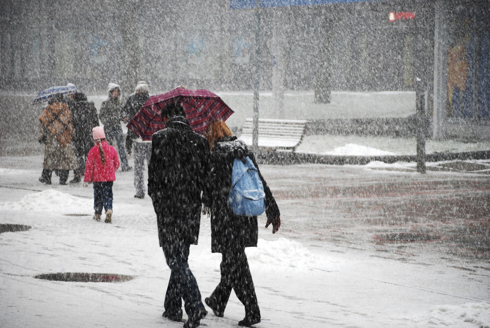
The upcoming weather pattern is set to be more wintry in nature with snow and ice being the biggest complications. While this amount of winter precipitation may be manageable in the northern half of the country, this region of the U.S. often has a more difficult time dealing with snow and ice.
The storm will set up as a result of a surge of energy coming on shore in Southern California this weekend. While this energy will not impact this corner of the country significantly, it will eventually meet up with moisture that is moving up from the Gulf of Mexico. As the two weather systems meet on Sunday night and into Monday, it will find the necessary cool air to trigger the wintry precipitation over the southern Plains.
Meteorologists are still uncertain as to how big of an impact these forces will make when they meet to close out the weekend. While it could end up being minimal in nature, there is also the chance that many areas of the Plains and Mississippi Valley will be dealing with a messy Monday morning commute.
Widespread travel delays may also be an issue with this system. This is particularly true if the moisture is able to move farther to the north to find the coldest air. Should this happen, the region could be in for a mix of freezing rain, sleet, and snow.
The potential impact zone of this system includes parts of eastern Kansas, Oklahoma, Arkansas, Missouri, Kentucky, and Tennessee. Long portions of interstates 30, 40, 44, and 55 will be under the gun for potentially hazardous travel including the cities of St. Louis, Kansas City, and Tulsa.
The mix of precipitation is most likely to fire up beginning late Sunday and continuing through Monday. There is also the chance that the moisture is blocked from moving to the north by a high pressure system forecast to be anchored over the Southeast and the Tennessee Valley. Should this happen, the moisture will largely fall as rain because it will find the cold temperatures needed to transition to wintry precipitation. This would result in a soggy day across Texas and Louisiana.
It is important to keep in mind that the southern Plains are not typically used to dealing with wintry precipitation. This means that even an inch or so of accumulation can throw life into disarray and cause significant travel disruptions.
Unfortunately, this part of the country is also set to be on the receiving end of a blast of Arctic air heading into next week. This means that any snow or ice that falls will be slow to melt. Even if the moisture falls as straight rain, colder than normal overnight lows across the southern Plains could cause this water on the road to freeze up in the overnight hours.
The early week weather maker is just the beginning of what may lie ahead for the eastern two-thirds of the nation heading into the Christmas holiday. As soon as this system dissipates, another round of snow and ice is on tap for the end of the week. This prediction of precipitation will arrive at the same time as the surge of Arctic air.
The bottom line is that this weekend may be your best shot to get out and run those last-minute holiday errands due to the uncertainty of the weather ahead.
Did you find this content useful? Feel free to bookmark or to post to your timeline for reference later.

January 21, 2024

January 19, 2024

January 18, 2024
