Heavy Rain, Flooding, and Chance of Severe Weather Staring Down the Southern U.S.
January 22, 2024
Posted: January 20, 2023 3:08 pm


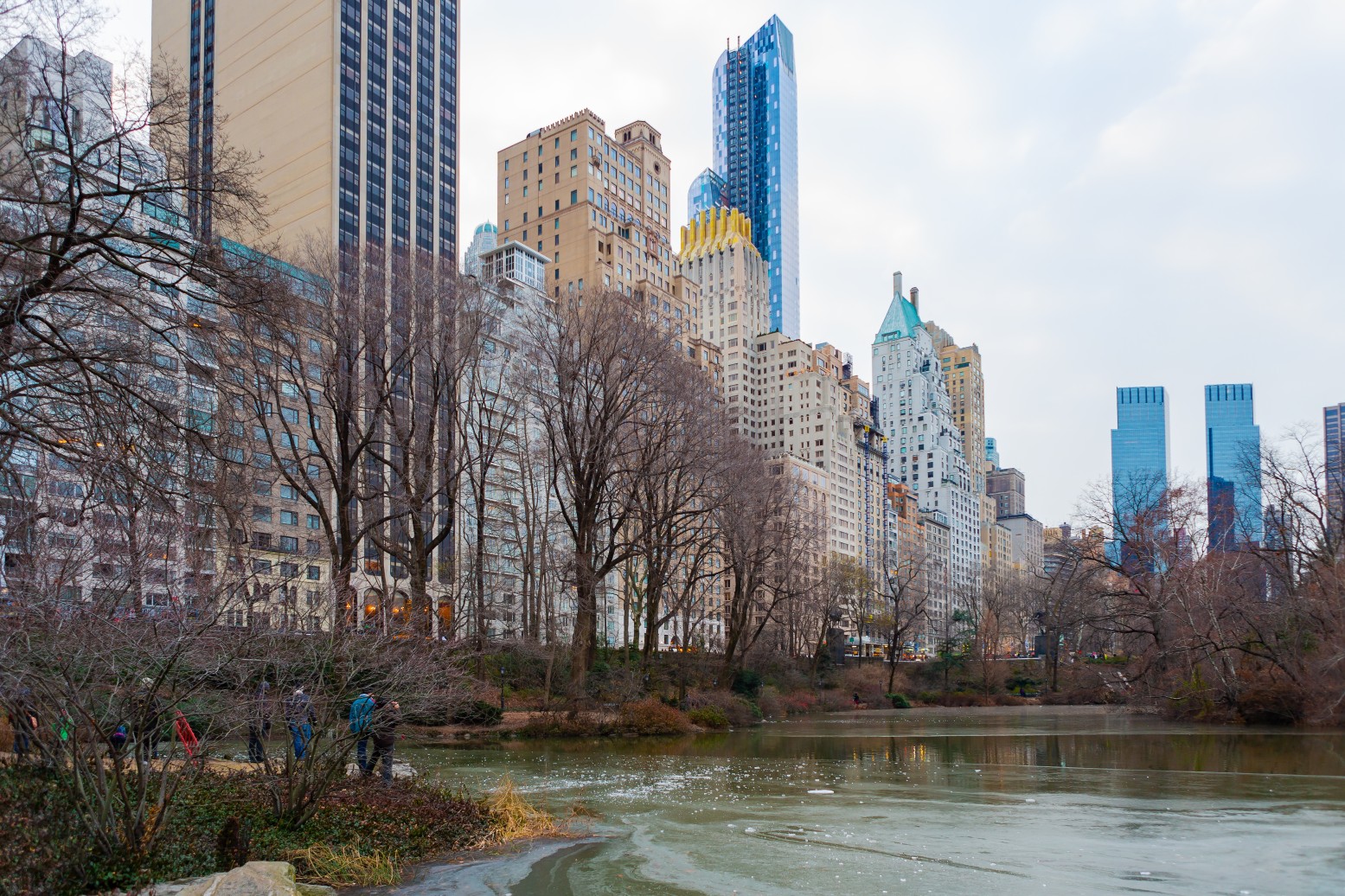
Residents of many of the most populated cities in the Northeast have been waiting quite some time for the season’s first snowfall. This region has been under an ongoing snow drought this year with cities such as New York City, Philadelphia, and Washington, D.C. only seeing trace amounts of the white stuff. When will the flakes finally start to fly for these major cities?
The lack of snow for this corner of the U.S. is a dramatic departure from normal. The first measurable snowfall of the winter season usually arrives around December 1 in the Big Apple. With each passing day, it looks more and more likely that the city will see a new record for the number of consecutive days without any snow. The current streak is at 315 days with the record coming in at 332 days. Only time will tell if this record will be broken with this current drought.
By this time of the season, New York City has typically seen about 10 inches of snow. While the snow drought was not as long last year, the same time period in 2021 only came in at 6.8 inches.
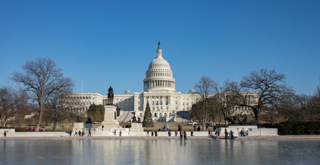
New York City is not the only city void of snow. Philadelphia has also not seen measurable snow this winter, defined as more than 0.01 of an inch. You have to go all the way back to 1972 and 1973 to find the last winter that did not feature any snow in the City of Brotherly Love. The city typically averages just over 7 inches of snow each year. By this time last year, Philadelphia had already recorded 4.6 inches of accumulation. Likewise, Washington, D.C. has yet to receive its first significant accumulation of the year.

Moving to the north, places like Boston have not been left out of the snow completely, However, averages are still trending below normal for this point of the season. Boston has measured 4.9 inches of snow this season, well below the average of over a foot that it typically sees by the middle of January.
What is causing this snow drought? Weather experts said that higher than average temperatures along the Interstate 95 corridor is largely to blame for the lack of wintry precipitation. It has been an exceptionally warm January for these cities with temperatures trending about 10 degrees higher than average inhibiting snow development. Any moisture that does fall in the area is coming down as rain.
In addition, the storm track as of late has favored areas located farther north than these metropolitan areas. Rather than plowing through the heart of the country and into the Northeast after coming down from the Rockies, the bulk of the storms are shifting northward and impacting the Upper Midwest, northern Plains, and southern Canada.
Lastly, significant areas of high pressure anchored north of the region have worked to block storms from moving through. One of the few areas that has seen above average levels of snow is the Great Lakes region. For instance, the city of Buffalo has seen over 52 inches of snow this season thanks to a number of massive lake-effect snow events.
The Northeast is in line for a few more storms heading into next week. However, at this point in the forecast, the temperatures are looking to be warm enough to keep the moisture falling as rain rather than snow. Looking into the long-range forecast, it is possible that the area may not see measurable snow for at least another month. This will be an extreme departure from what is typical of the beginning of February, a time normally distinguished as the snowiest time of the year for many areas.
The snow drought may be good news for travelers, however, the dry streak has made for a disappointing winter sports season. Many ski resorts have been forced to lean on man made snow to simply stay open during what is usually the peak of the tourist season.
Did you find this content useful? Feel free to bookmark or to post to your timeline for reference later.

January 21, 2024

January 19, 2024

January 18, 2024