
Heavy Rain, Flooding, and Chance of Severe Weather Staring Down the Southern U.S.
January 22, 2024
Posted: September 16, 2023 7:59 am


While the bulk of the Northeast is not forecast to see the significant impacts of Hurricane Lee when compared to New England and Atlantic Canada, the incoming storm will still influence the weather to some degree in this part of the country. Here is how Hurricane Lee will impact the weather pattern over the next few days for the Northeast.
Beginning to Feel Like Fall in the Northeast
A high pressure system inching down from Canada to end the week will pair with the circulation of Hurricane Lee to deliver picture perfect fall weather for much of the interior portions of the Northeast this week. It will be a great day to get out and watch a football game or participate in any other traditional fall activities.
What may not be a smart decision is to head out to the beach along the East Coast. A large portion of the Atlantic coastline is bracing for rough surf conditions and potentially life-threatening rip currents as a result of Lee spinning off shore. These coastline impacts will be felt to a greater degree in areas to the north, including New England and the Canadian Maritimes.
The start of the astronomical fall is next weekend, however, temperatures across the Midwest and the Northeast in the coming days will feel as if summer is in the rearview mirror. In addition to the lower temperature readings, lower humidity levels will also deliver a pleasant string of days. Overnight lows are also forecast to drop with this incoming weather pattern.
New York City has seen warm nights over the last several days with temperatures landing in the upper 60s and low 70s after the sun went down. This will change by Friday with lows in the upper 50s and lower 60s on tap for the weekend. This is more in line with the historical average for this time of the year. You can expect daytime highs in the Big Apple to hover in the mid to high 70s.
A mix of sun and clouds will make this a good time to enjoy Central Park and other outdoor areas. Be warned that Lee’s impacts will mean breezy conditions for this part of the region on Saturday.
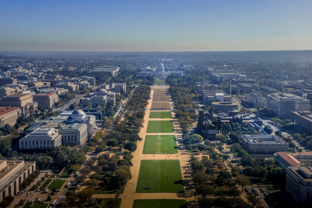
The major metropolitan areas of Washington, D.C. and Philadelphia will also enjoy cooler temperatures and lower humidity levels throughout the weekend. The mercury will climb into the low 80s in the nation’s capital with mostly sunny skies on Saturday before dipping back into the mid 70s on Sunday as more clouds move into the area.
Cooler Weather in the Forecast Farther South
It will be even chillier at night across the central Appalachians and the eastern Great Lakes. Highs will top out in the upper 60s with some of the higher elevations seeing overnight lows plummet into the upper 30s and low 40s.
The Southeast will also see cooler readings this weekend. High temperatures across the Carolinas and into the northern half of Georgia will remain in the low to mid 80s over the next few days. This is a few degrees cooler than the historical average for the middle of September. Overnight lows will drop into the low to mid 60s for Charlotte and Atlanta. The mercury may struggle to inch out of the 70s on Sunday in Charlotte as a shot of afternoon thunderstorms may put a halt to the typical climb of temperatures in the latter part of the day.
Meanwhile, the Gulf Coast is expected to remain warm and muggy for the weekend. A threat of thunderstorms will also distinguish the weather pattern for this part of the U.S.
Sunday’s Weather Ideal for Cleanup from Lee
While Saturday could be a stormy day for much of New England thanks to the imminent arrival of Hurricane Lee, Sunday will offer up nicer conditions to help support the storm cleanup efforts. The formation of a new low pressure area will bring back the clouds and chance of rain showers to the Northeast during the early part of next week. A chance of severe weather could also be in the cards as a front comes in behind the area of low pressure.
The East Coast of the U.S. will be anxiously watching the tropics for the potential of yet another weather maker coming in on the heels of Lee. This system will take on the name Nigel if it develops into a tropical storm. Stay tuned for more information as this system continues to develop over the coming days.
Did you find this content useful? Feel free to bookmark or to post to your timeline for reference later.

January 21, 2024

January 19, 2024

January 18, 2024
