Heavy Rain, Flooding, and Chance of Severe Weather Staring Down the Southern U.S.
January 22, 2024
Posted: December 16, 2022 2:32 pm


Just one week before the official start of the astronomical winter and a large part of the nation is already digging out from a massive snow storm that dropped as much as 4 feet of new accumulation. Here is a recap of this week’s snow event.
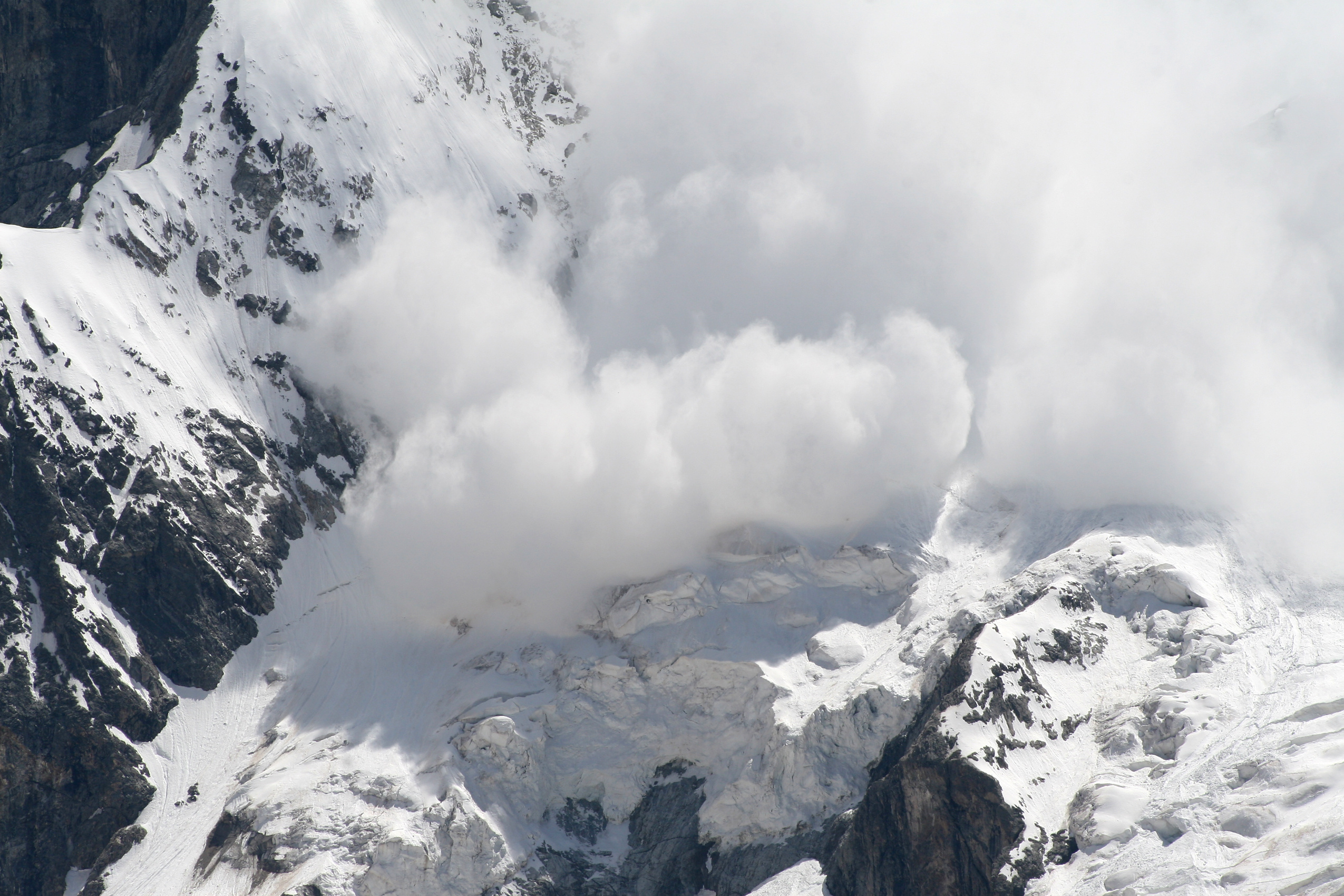
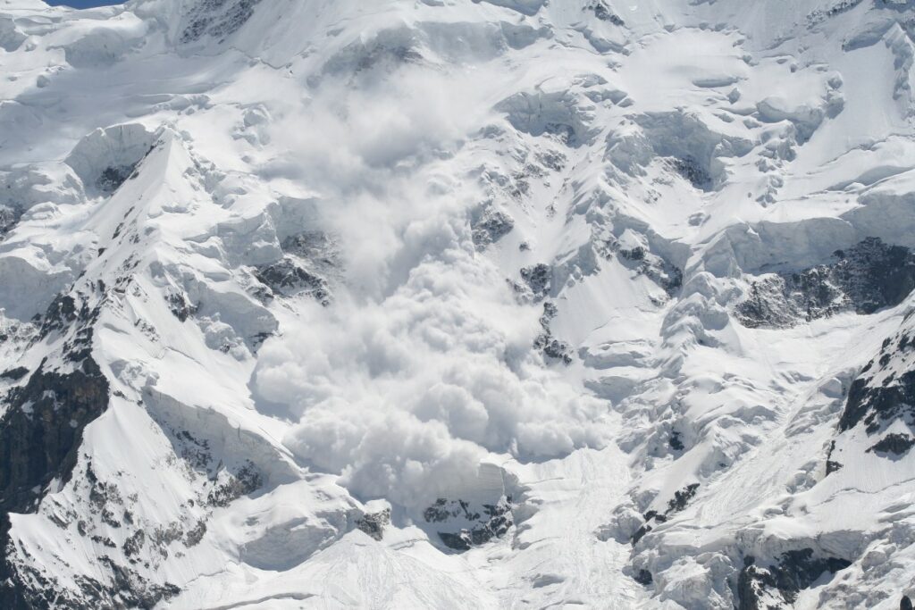
While there were no fatalities attributed to this snow storm, at least one person was injured after an avalanche was triggered in Utah. The avalanche happened Wednesday at Neff’s Canyon, located approximately 20 miles southeast of Salt Lake City. The event took place across a burn scar left behind after last summer’s wildfire in the canyon.
Authorities confirmed that a 35-year-old backcountry skier was taken off the mountain and hospitalized with a broken femur, injured arm, and a potential case of hypothermia. The region near the avalanche had recorded nearly one foot of snow by Tuesday morning as the winter storm system pushed from California to the east.

The system made its way over the Rockies before unloading on the northern Plains and the Upper Midwest. Massive snowfall accumulations were reported in Nebraska, the Dakotas, Minnesota, and Michigan. Cheyenne Crossing, South Dakota took the crown for the highest snowfall amount from this storm, coming in at over 2 feet.
Deadwood, South Dakota also recorded an impressive 36 inches of snow. Meanwhile, it was blizzard conditions wreaking havoc in northern Minnesota. The National Weather Service (NWS) office in Duluth confirmed that the winds and snow were enough to classify it as a blizzard.
Duluth International Airport also reported rare thundersnow early Wednesday. Over 100 snowplows were deployed in Minnesota on Wednesday during the height of the storm. Local authorities responded to over a dozen accidents and even more disabled vehicles.
The situation was just as dire in the Dakotas. The South Dakota Department of Transportation (SDDOT) was forced to close parts of Interstate 29 because of treacherous road conditions. The department of transportation in North Dakota also said that the conditions created numerous travel challenges across the state.
In addition to the disruptions on the roads, air travel was also impacted throughout the region. The major hub of Minneapolis-Saint Paul International Airport was hit particularly hard as de-icing machines struggled to keep up.
The freezing rain that hit before the snow created an icy glaze on many roadways in an area stretching from North Dakota to Michigan and southward. For instance, Watertown, South Dakota reported 0.30 of an inch of freezing rain on Tuesday as the storm moved in.
This freezing rain and ice also knocked out power to thousands of Americans. Over 45,000 customers were in the dark in Minnesota alone by Thursday morning as ice weighed down power lines. The numbers were even higher in Wisconsin with almost 70,000 customers without power at the height of the storm. Michigan reported over 43,000 people blacked out.
The snow moved to the east on Thursday, bringing the wintry conditions into the interior portions of the Northeast. The good news is that a dry air mass is now anchored over the northern Plains. However, residents should brace for the next significant weather impact as a blast of cold air coming down Siberia is forecast to hit much of the northern and central U.S. by next week.
All of this snow and ice in this part of the county at the same time that the southern tier of the U.S. was dealing with severe thunderstorms and tornadoes. The weather impacts were a part of one broader storm system that fired up in the Pacific Ocean and made its way across the country.
Did you find this content useful? Feel free to bookmark or to post to your timeline for reference later.

January 21, 2024

January 19, 2024

January 18, 2024