Heavy Rain, Flooding, and Chance of Severe Weather Staring Down the Southern U.S.
January 22, 2024
Posted: January 2, 2023 9:47 am


Drier Conditions on Tap for the Rest of the Week
The new year will start with a bang in many areas of the nation with the South dealing with severe weather and snow and ice making their way through the Upper Midwest and northern Plains. The weather makers are a result of a parade of storms that continues to come on shore in California from the Pacific Ocean. This system pushed over the Four Corners area on Sunday before it moved to the northeast and into the nation’s heartland.
The front side of the storm will ignite severe weather to much of the southern Plains on Monday and into Tuesday. The storms will be fueled by the mild and moist air that is anchored in place over this region. A strong wind coming from the south will help to usher in moisture from the Gulf of Mexico, putting in place all of the necessary ingredients for storm development.
The mercury will also come in higher than average throughout the South with some records in danger of falling. For instance, the temperature may hit the low 80s along some areas of the Gulf Coast, including New Orleans. The record for January 2 in the Crescent City is 81 degrees.
While records will not likely be challenged in cities such as Little Rock and Memphis, readings in the low 70s will still be well above normal for the first week of January. The warmer readings will help to support thunderstorm development.
Although the storms will linger through Tuesday, Monday will be the day with the greatest amount of activity. You can expect to see the storms first ignite in eastern Texas and southeastern Oklahoma before spreading to the east closer to the Mississippi River basin.
Cities that may see storms during the morning commute include Dallas and Houston. It will be the afternoon commutes impacted in areas farther east, including Little Rock and Memphis.
The storms will bring the usual list of impacts ranging from torrential rain to lightning to damaging winds. A good amount of wind shear circulating in the atmosphere will also create a danger of tornadoes.
The severe storms will continue through Tuesday for locations farther east, including New Orleans, Birmingham, Mobile, Atlanta, and Pensacola. The timing of these storms will most likely focus on the afternoon and evening hours. Travel on interstates 20, 30, and 55 may be affected by the weather. In addition, air travel going through the major hubs in Dallas, Atlanta, and New Orleans may see disruptions to the schedules.
Dry conditions are forecast to settle into the South by the middle of the week, continuing for the short term.
While the South is busy dodging storms to start the week, areas to the north will be dealing with a host of winter weather impacts. The heaviest of the snow will affect a narrow corridor in the northern Plains and the Upper Midwest, including snow for Denver and Minneapolis and the chance of ice for Omaha.
Winter storm watches are in effect in an area stretching from the northeastern corner of Colorado into western Wisconsin. The hardest hit areas can expect to see 6 – 12 inches of snow. This zone includes parts of South Dakota, Nebraska, Minnesota, and Wisconsin.
There is still a bit of uncertainty about where the heaviest bands of snow will set up. It could be that Minneapolis takes a direct hit or the region may escape with lighter snowfall. There is also the chance that places such as Fargo, North Dakota may not see any flakes fly. All of this depends on the exact track of the storm as it nears the region later in the day Monday.
One area that is almost certainly in the line of fire for heavy snow is the Colorado Rockies. Ski resort cities such as Steamboat Springs are forecast to see 5 – 8 inches of snow on Monday alone. The Wasatch Mountains in Utah are also in line to see meaningful accumulation over the next few days.
Motorists traveling in this area will want to stay abreast of developing conditions, particularly if your route takes you over any mountain passes. You can expect the chance of delays over portions of interstates 29, 35, 80, 90, and 94 on Monday and Tuesday. In addition to slippery roads, strong winds may also create blowing snow that reduces visibility.
Sleet and freezing rain may also be in the cards across the Midwest beginning Monday and lasting until early Tuesday. The area most likely to see icy conditions includes northwestern Kansas into southern Minnesota and western Wisconsin.
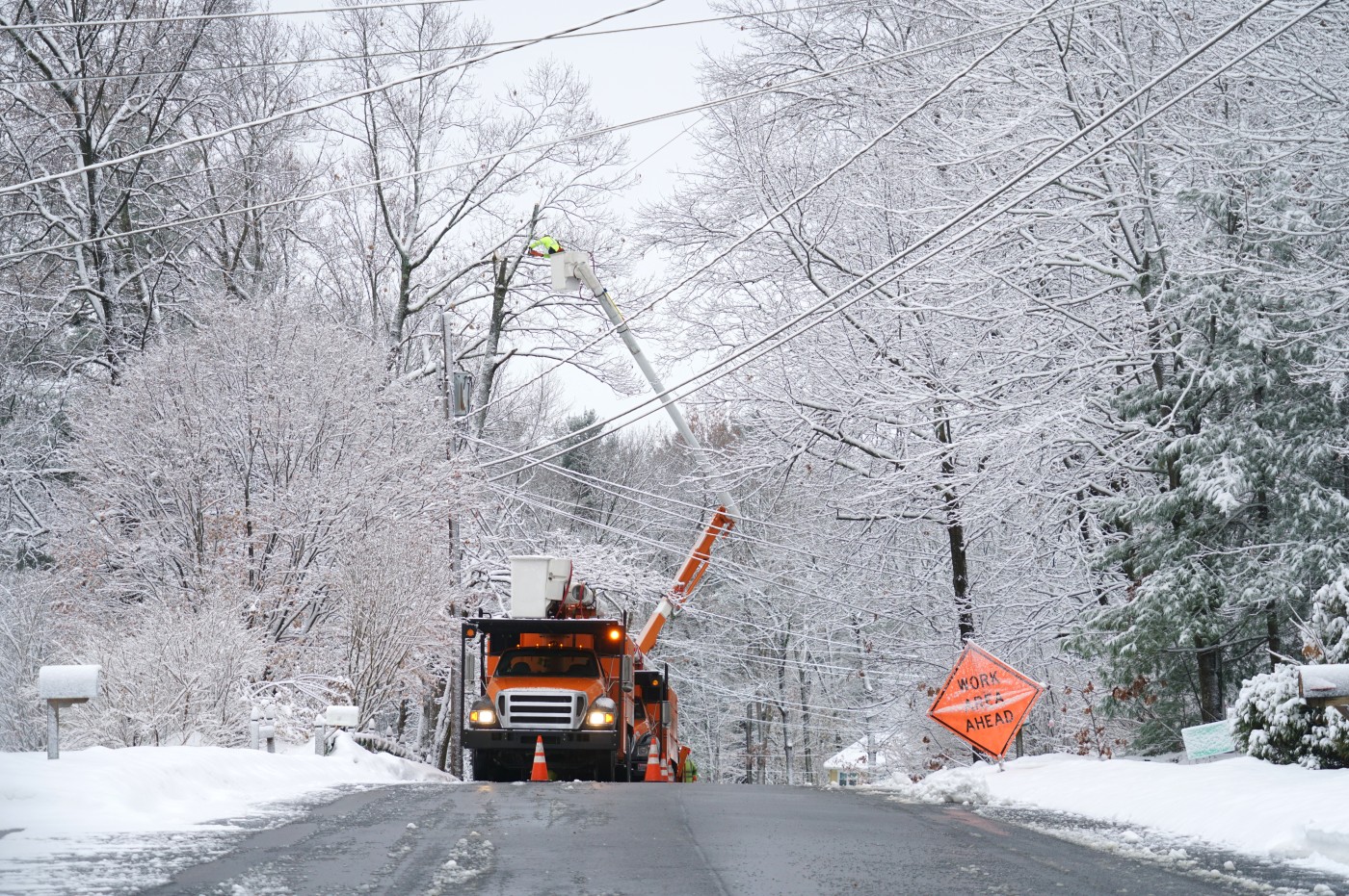
Because this is a quick-hitting storm, the ice will not likely hang around long enough to trigger widespread power outages. However, there is the potential of slick roads and sidewalks as a result of the ice.
The snow is forecast to move out by the middle of the week, ushering in a calmer period of weather for the balance of the week. This is a welcome forecast for a part of the U.S. that has been dealing with a barrage of winter precipitation over the last several weeks.
Some cities are well above the normal level of snow for the season. For instance, Minneapolis has recorded over 32 inches of snow since the beginning of November. The average for this time period is 18 inches. Other cities that are averaging well above normal for snow by this date include Rapid City, Bismarck, and Sioux Falls.
Did you find this content useful? Feel free to bookmark or to post to your timeline for reference later.

January 21, 2024

January 19, 2024

January 18, 2024