
Heavy Rain, Flooding, and Chance of Severe Weather Staring Down the Southern U.S.
January 22, 2024
Posted: November 4, 2021 9:32 am


Warm-up on the Way for Northeast Over the Weekend
The first week of November brought in a mix of wintry scenes and falling temperatures all across the Great Lakes and the Northeast. Will this weather pattern stick around or will the conditions revert back to fall?
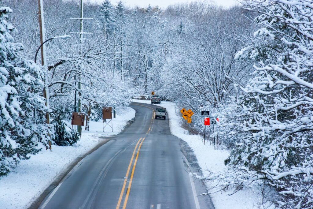
It was a winter wonderland in some parts of the Great Lakes as lake-effect snow fell in significant amounts. Nearly one foot of snow fell on the northern tier of Lower Michigan. Gaylord set a record for the most amount of snow in one day in November when 11.7 inches fell on Tuesday. This measurement also ranked sixth on the list of top single-day snowfall amounts on any day.
The snow continued off and on throughout the day Wednesday with some places seeing additional accumulation. The precipitation was distinguished as wet and big snowflakes. Although the major roads are expected to remain clear on Thursday, the secondary streets may be slippery. This is particularly true for bridges and patches of roads that will not be exposed to direct sunlight as the temperatures warm up.
Some areas of the Tennessee Valley also saw the first frost of the season as temperatures fell into the low 20s in the overnight hours of Tuesday into Wednesday. Residents of the Northeast are also waking up to chilly temperatures on Thursday after seeing the freezing conditions the day before. The I-95 corridor will be the coldest part of the region in the early morning hours on Thursday.
The interior Northeast is another area experiencing some unseasonably cold temperatures. Pittsburgh will struggle to reach the upper 40s through the end of the week. With overnight lows in the upper 20s, these temperatures will feel like an extreme departure from the warm fall.
The risk for more snow will start to decrease by Thursday and Friday as high pressure expands into the region. The warm-up will feel slow on Friday, however, Saturday is shaping up to be a beautiful fall day. The nation’s capital will enjoy temperatures near 60 degrees for the weekend, right around average for the first week of November.
Dry conditions will be the story for the weekend throughout the Northeast. However, a storm brewing over the eastern Gulf of Mexico could begin to impact the area by late in the weekend or early next week. This storm is forecast to continue to pick up speed on Friday, drawing moisture northward and delivering heavy rainfall to much of Florida. Central Florida will see the first of the significant rainfall on Friday before the system moves to the northeast.
While it is still too early to tell with exact certainty, most models show the storm moving to the north up the Eastern Seaboard through the weekend and into the start of the workweek. This will deliver the strong possibility of strong winds, rough surf conditions, minor coastal flooding, and the potential of beach erosion up and down the coast.
There is also still the possibility that this system could go through the process of bombogenesis and strengthen into a bomb cyclone. Residents of the East Coast need to stay on top of the changing weather conditions.

January 21, 2024

January 19, 2024

January 18, 2024
