
Heavy Rain, Flooding, and Chance of Severe Weather Staring Down the Southern U.S.
January 22, 2024
Posted: April 20, 2022 11:57 am


Time is Running Out to Replenish California’s Dry Reservoirs
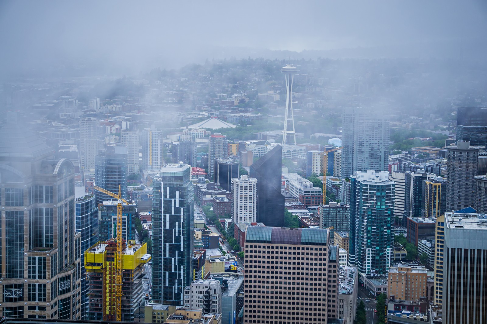
While the Pacific Northwest has been the greatest beneficiary of April’s steady parade of precipitation makers, this wet weather is set to dip as far south as Southern California by the end of the week.
The moisture is expected to pick up along the coastal areas of Washington and Oregon by late Wednesday. This precipitation will move farther to the south and inland by Thursday and Friday, meaning that the great bulk of the West Coast will be under the throes of either rain or snow by the time the weekend arrives.
The heaviest of the rain is forecast to dump over portions of Northern California and into the central portions of the state. This rain may make it as far south as the Los Angeles area by the time that it wraps up.
With the entirety of California under the designation of at least a moderate drought or higher, this rain will be welcomed with open arms. According to the U.S. Drought Monitor, nearly half of the state is under the umbrella of an extreme drought. An unseasonably wet December helped to replenish some of the Golden State’s most important water reservoirs, however, the dry conditions over the last few months has sent much of the state back into these worrisome drought levels.
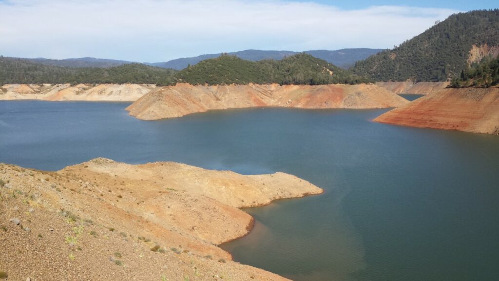
For example, both Shasta Lake and Lake Oroville are well below capacity. As the state’s two largest water reservoirs, these levels are alarming to state officials.
While the wet conditions of this week will help to replenish some of these water levels, it is still a far cry from what is needed to bring these reservoirs back to normal heading into the state’s dry season.
The system that will bring meaningful rain to the Pacific Northwest and California during the middle of the week will eventually move into the central portion of the country. As it meets up with a cold air mass positioned over the northern Plains, this region may once again see another April blizzard. Meanwhile, the central and southern Plains will be under the gun for severe weather as the system closes in with its abundance of moisture.
The West Coast will enjoy a slight drying out over the weekend before the next storm system pushes in from the Pacific Ocean. However, the moisture associated with this system is not forecast to land in Southern California, an area that needs it the most.
The current long-range forecasts predict that the Pacific Northwest will be in the crosshairs for a series of storms that could hit every few days over the next several weeks.
Unfortunately, the clock is ticking on any chances of significant precipitation for much of California. Once May arrives, the state is far less likely to experience the onslaught of storms that distinguish March and April. This means that it may be now or never for the state to build up its water reservoirs before wildfire season starts in earnest.
Did you find this content useful? Feel free to bookmark or to post to your timeline for reference later!

January 21, 2024

January 19, 2024

January 18, 2024
