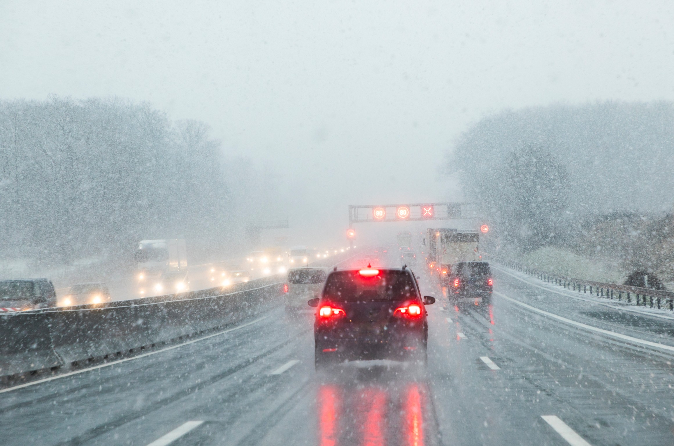
Heavy Rain, Flooding, and Chance of Severe Weather Staring Down the Southern U.S.
January 22, 2024
Posted: April 6, 2023 1:07 pm


It is going to be a wet Easter and Passover for much of the Pacific Northwest. Forecasters are warning that outdoor plans may be in flux as a series of storms brings both rain and snow to the region in the coming days. Read on for the latest update forecast for this corner of the country.
While it has been relatively calm for the bulk of the West Coast this week, the moisture machine is set to fire up again to bring the work week to a close. This will bring in more rain and snow for the mountains just in time for the holiday weekend.
It has been California that has seen the constant barrage of storms over the last several months. Multiple storm systems tracked into the central and southern portions of the Golden State this last winter, an area of the West Coast that does not typically see this much moisture. For instance, Los Angeles saw rainfall in March that equaled 430% of its historical average for the month.
The silver lining of this unusual storm track is that the immense moisture has helped to push California out of its ongoing drought. In fact, the U.S. Drought Monitor says that about 55% of the state is now free of any level of drought. This compares to all 58 counties seeing some drought designation at the start of the winter season.
The upcoming storms for the West will track along in a more traditional pattern, bringing the precipitation to the northwest corner of the region. This track will bring much-needed moisture to an area of the West that is still experiencing areas of exceptional drought.
For example, the east-facing slopes of the Cascade Mountains have experienced significantly dry conditions as of late. The worst of this drought is located across the central part of Oregon. The moisture associated with this weekend’s storms will certainly help to provide relief to this part of the Northwest.
When can you expect the precipitation to make its way into the Northwest? A southward dip in the jet stream will pull in the moisture and spread it across the Northwest by Thursday. While the coastal areas saw the rain pick up late Wednesday, it will take a bit longer for the moisture to make its way into the interior portions of Washington, Oregon, and Northern California.
An advancing cold front will continue to push the steady rain into the coastal areas on Thursday, eventually dumping snow on the higher terrains of the northern Sierra Nevada, the Klamath Mountains, and the Cascades. This snow will then push into parts of the Rocky Mountains in Idaho. Snow levels will remain at about 5,000 – 6,000 feet in the Sierra Nevada.
It could be a soggy proposition for kids heading out for Easter egg hunts this weekend. Rain will linger for a few days in areas such as Seattle and Portland, putting a literal damper on Easter and Passover activities.
While the weekend will be a washout for the northern half of the region, some areas in southern Oregon and the northwest corner of California could see a few sun breaks on Saturday and into Easter Sunday morning. However, this period of dry weather is not expected to last long. A new front is predicted to push onshore by later in the day Sunday.
The latest front will bring cooler temperatures to a large portion of the West Coast to start the new week. The mercury will fall to up to 15 degrees below normal in some areas. Central Oregon will see the most drastic shift of temperatures with places such as Portland and Eugene seeing daytime highs in the upper 40s.
The falling temperatures in the higher elevations will support the development of more snow. Be sure to check the forecast if your plans next week take you up to the mountains.
Did you find this content useful? Feel free to bookmark or to post to your timeline for reference later.

January 21, 2024

January 19, 2024

January 18, 2024