
Heavy Rain, Flooding, and Chance of Severe Weather Staring Down the Southern U.S.
January 22, 2024
Posted: November 6, 2023 2:41 pm


Colder Temperatures Will Mean Mountain Snow for the Northwest
The parade of storms is marching on in the Northwest with the latest weather maker bringing the potential of snow to the higher elevations thanks to colder temperatures. Here is what you can expect for this corner of the U.S. as the storm train keeps rolling in from the Pacific Ocean to start the new work week.
Active Jet Stream Spells More Moisture for the Pacific Northwest
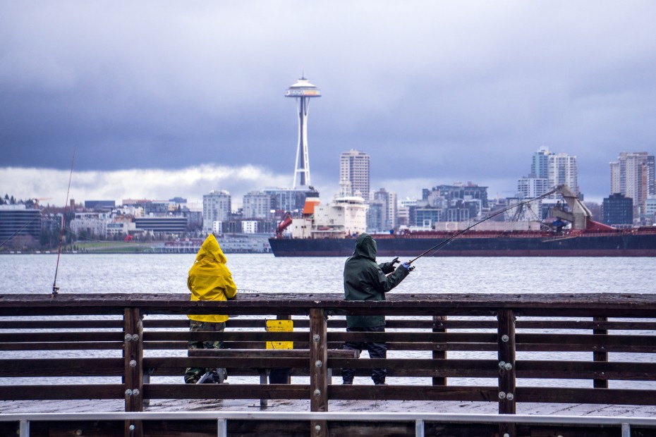
It was a soggy weekend across the Pacific Northwest as the second in a series of storms impacted the region. This pattern of wet weather is predicted to continue into the beginning of the week as the active jet stream brings in yet another storm.
The first two storms delivered torrential rain and gusty winds to nearly every community in the Northwest. After an extended period of dry weather to close out the month of October, the storms fired up across the region on the first day of November. Metropolitan areas such as Seattle and Portland saw the heavy rain move in late Wednesday before dissipating by Friday.
Saturday brought another round of moisture as a second storm system pushed inland from the coastal areas. By Sunday morning, Seattle-Tacoma International Airport had recorded 2.75 inches of rain with more in the forecast for later in the day. Down Interstate 5 in Portland, Oregon, 2 inches of rain had fallen over the last few days.
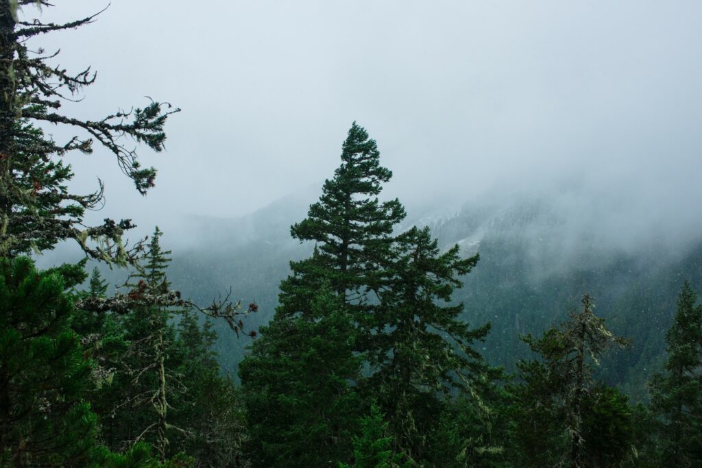
The heaviest of the rain has been recorded in the higher elevations of the Cascade Mountains and the Olympic Mountains. Some of the hardest-hit areas have seen up to 8 inches of rain over the last few days.
The winds have been the highest across the coastal areas. For instance, Hoquiam, Washington reported wind gusts as high as 62 mph during the initial storm and gusts that hovered in the mid 50s during the weekend storm.
What Will the New Week Bring?
Monday will bring the third storm in the series into the Northwest, ushering in more significant rain and strong winds. This amount of moisture is increasing the risk of flooding in low-lying areas as well as hazards such as ponding on roadways.
While the first two storms were accompanied by warmer temperatures, the next system will bring forth a cooler air mass. This will translate to snow for the higher elevations of the Cascades. You can expect snow levels to fall to about 5,000 feet, low enough to mean a good chance of accumulating snow for some of the mountain passes in the area.
By the time the third storm system wraps up, the west-facing slopes of the Coast Range, the Olympics, and the Cascades will measure about 8 to 12 inches of rain. Portland and Seattle will end up with between 2 and 4 inches of rain when all three systems are totaled together.
Looking Ahead to the End of the Week
This rain and snow will hang on through Tuesday before a drier pattern sets up by the middle of the week. However, this dry period will not last for long. Forecasters are warning that another storm system is on the horizon for the end of the week.
This system will get going some time on Thursday, bringing heavy rain to the lower elevations and the chance of more snow to mountains. Snow levels will land at about 6,000 feet during the day with the levels plummeting to about 4,000 feet after the sun goes down. Motorists planning on using roadways such as Snoqualmie Pass on Interstate 90 in Washington state will want to stay alert about road conditions.
This stormy weather pattern is typical for this time of the year in the Northwest.
Did you find this content useful? Feel free to bookmark or to post to your timeline for reference later.

January 21, 2024

January 19, 2024

January 18, 2024
