
Heavy Rain, Flooding, and Chance of Severe Weather Staring Down the Southern U.S.
January 22, 2024
Posted: October 6, 2023 1:48 pm


Philippe is transitioning into a tropical wind and rainstorm as it moves closer to the U.S. Here is what the Northeast, New England, and Atlantic Canada can expect in terms of impacts from this weather maker this weekend.
Maine and Nova Scotia to Take Brunt of Philippe
The National Hurricane Center (NHC) is no longer referring to Philippe as a tropical storm despite the feature still having winds of up to 50 mph. Philippe is beginning to act more like a classic winter storm than a tropical event with a defined eye as it moves into cooler waters. However, the storm will still dump heavy rain and produce strong winds in the coming days.
Forecasters are predicting that Philippe will bring the greatest degree of impacts to Maine and into New Brunswick and Nova Scotia. These impacts include high winds, coastal flooding, and flash flooding.
As of the middle of the day Friday, the storm was spinning about 100 miles south of Bermuda and moving to the north-northeast at a speed of 16 mph. The poor organization of the storm prompted the NHC to downgrade it from a fully defined tropical storm. Bermuda will see rough seas, torrential rains, and high winds throughout the day Friday as Philippe skirts past the group of islands without making a direct strike.
The feature will then find significantly cooler waters as it moves to the north. Philippe will also interact with a cold front coming across the northern U.S. late Friday and into the weekend. All of these factors will weaken the storm prior to the expected landfall late Saturday or early Sunday in Maine.
The current models suggest that Philippe will still be a tropical wind and rainstorm when it comes onshore. The good news for Atlantic Canada is that Philippe is not predicted to deliver the same level of impact that Lee did a few weeks ago.
Torrential Rain and Wind Will Washout Many Weekend Plans
While Philippe will not cause as much damage as Lee, its merger with a secondary non-tropical weather system currently making its way across the Great Lakes and the Northeast will create large amounts of rain throughout the weekend for millions of Americans.
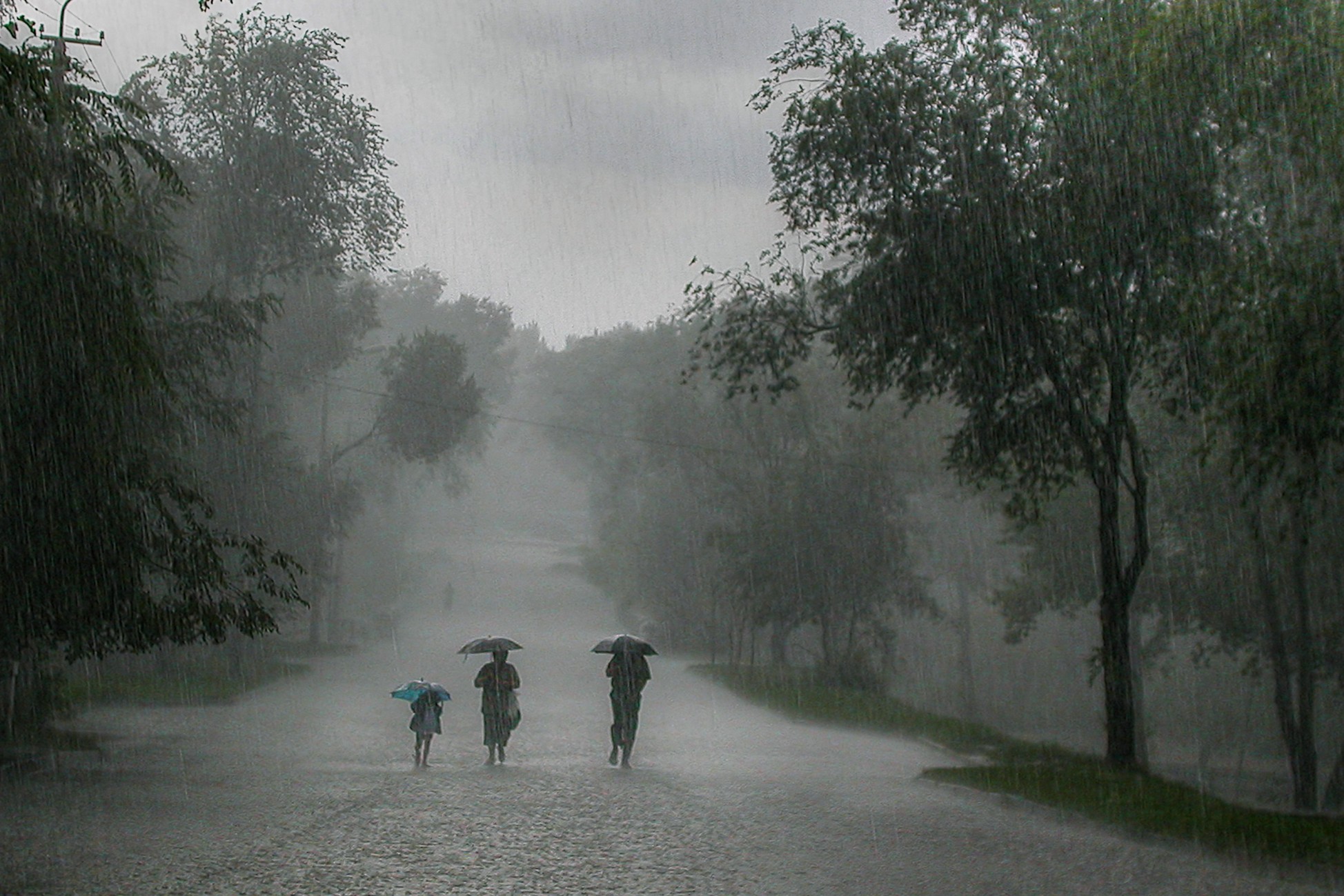
Widespread rain of 1 to 4 inches are in the forecast for Maine, New Brunswick, Nova Scotia, and the southeastern corner of Quebec. This part of North America is already dealing with overly saturated grounds as a result of Lee and the overall unsettled weather pattern. The wet landscape will heighten the risk of runoff and flash flooding.
The highest wind speeds will be whipping up to the northeast of the center of Philippe. A swath of land from northeastern Maine and into the Gulf of St. Lawrence in Atlantic Canada can expect tropical-storm-force winds of 40 to 60 mph.
Forecast for Areas West of Philippe
You will not have to be located in coastal areas to feel the impacts of Philippe. Forecasters are predicting that some of the moisture associated with this tropical rainstorm will stretch to the west and into southeastern Massachusetts.
The arrival of a cold front from the Midwest will also spur the development of a secondary zone of non-tropical moisture. This rain will expand over the northern tier of the mid-Atlantic and up into New England, enveloping cities such as Washington, D.C., New York City, Philadelphia, and Boston.
Flash flooding will be a concern for the areas that experience repeated downpours. A narrow zone of 2 to 4 inches of rain is in the realm of possibility for parts of eastern upstate New York, Long Island, Vermont, and western portions of Massachusetts and Connecticut. This is the same general zone that experienced widespread flash flooding last week.
The threat of flooding will be higher in locations that saw last week’s torrential rain event because of the existing saturated ground. While the heaviest rain bands are forecast to land to the northeast of New York City, the urban landscape of the Big Apple will translate to a moderate risk of flooding this weekend.
Outside of the U.S., Montreal and Quebec City could see the worst of the rain with Philippe. A general 4 to 8 inches of rain is in the forecast for these Canadian cities, putting them at a high risk of life-threatening flash flooding.
Cooler Temperatures to Trail Behind Philippe
What is left of Philippe is anticipated to interact with the jet stream and produce significantly cooler temperatures across the Northeast next week. The gusty winds will send the real feel readings down even lower.
There is also the chance that snow will fall across upstate New York next week. The higher terrains of the Adirondacks will be most likely to see a bit of accumulation out of this weather maker.
Did you find this content useful? Feel free to bookmark or to post to your timeline for reference later.

January 21, 2024

January 19, 2024

January 18, 2024
