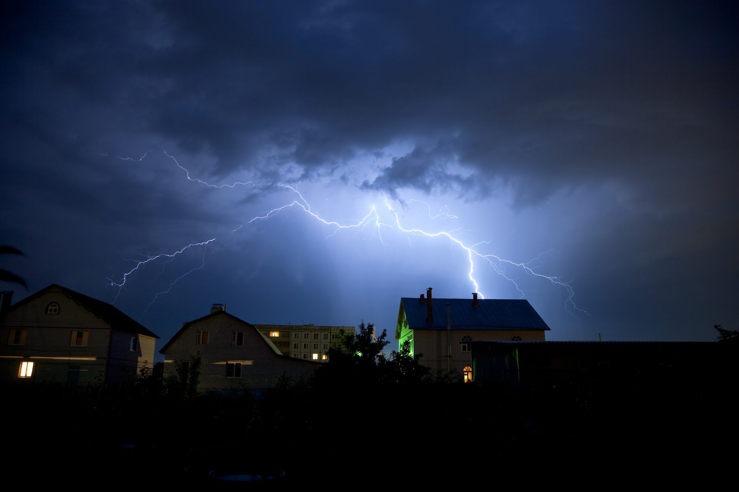
Heavy Rain, Flooding, and Chance of Severe Weather Staring Down the Southern U.S.
January 22, 2024
Posted: July 25, 2023 1:41 pm


While the heat will be the major weather storyline playing out in the Plains and Midwest this week, there will also be the chance of severe storms grabbing some headlines.
Multiple shots of thunderstorms are on tap for the nation’s heartland late Tuesday and Wednesday, setting up along the edge of the heat dome. Are you at risk? Read on for the details.
The storms will essentially ride along the top edge of the heat dome, feeding on the steamy air to develop and intensify. Some of these storm cells could turn severe as they roar through the central U.S. in the coming hours.
Tuesday’s threat will be focused on the central and northern Plains while Wednesday’s risks will shift into the Midwest and the Great Lakes. Both days will feature storms with the potential of damaging winds, hail, heavy rain, and isolated tornadoes.
This activity will form as the leading edge of the heat meets up with the cooler air coming down from Canada. Forecasters warn that some of these storm complexes could persist for several hundred miles as they move to the east, bringing impacts to millions of Americans through Wednesday.
It will take some time for the storm machine to fire up in earnest on Tuesday. Once it does, you can expect the chance of storms in an area stretching from eastern Colorado and into the Dakotas and Minnesota. Winds as high as 65 mph could be on the table for this region.
This will be a continuation of the gusty storms that impacted the same region on Monday.
Communities in the line of fire for Tuesday’s activity include Omaha, Sioux Falls, and Grand Forks. The cells may expand as far east as Minneapolis by late Tuesday night. The Twin Cities also saw severe storms develop on Monday night.
This zone of impact means that travel could be impacted along some stretches of interstates 29, 70, 80, 90, and 94. Motorists will want to be aware of the potential of rapidly worsening conditions on the roads, including limited visibility and dangerous ponding.

The line of activity will shift eastward on Wednesday, making its ways into the Midwest and closer to the Great Lakes as the day goes on. Wednesday’s zone of potential impact includes parts of Iowa, Illinois, Ohio, Wisconsin, and Michigan. This includes the cities of Chicago, Milwaukee, Detroit, Indianapolis, Cleveland, and more.
The greatest risk of severe storms on Wednesday will be centered over central and southern Michigan and into northern Indiana. Do not rule out the possibility of large hail and tornadic activity with these storm complexes. The extremely warm and moist air will set the stage for this development.
Travel could be impacted by Wednesday’s stormy conditions. Air travelers should anticipate delays as the storms roar through the region. Road travelers will want to take caution when heading out on the portions of interstates 55, 70, 75, 80, and 90 that run through this region of the Midwest and the Great Lakes.
The threat of storms will not end on Thursday. It will be the mid-Atlantic and Northeast under the gun for storm development to close out the work week. The complexes will move in and hang around through Saturday.
Although it will not be a total rainout for the region, the risk of storms could be a possibility at various times heading into the weekend.
Thursday’s threats will once again originate in the Rocky Mountain region and crawl through the Plains and the Midwest before moving eastward. The weekend will see the chance of storms in the Northeast.
The good news is that this late week round of storms will usher in cold air behind the activity, bringing a bit of relief from the sizzling temperatures of late July. A large area of the northern Plains, the Midwest, and the Northeast will be the beneficiary of this cold front.
Did you find this content useful? Feel free to bookmark or to post to your timeline for reference later.

January 21, 2024

January 19, 2024

January 18, 2024