
Heavy Rain, Flooding, and Chance of Severe Weather Staring Down the Southern U.S.
January 22, 2024
Posted: February 1, 2023 11:15 am


Despite unseasonably warm temperatures for much of the month of January across the East Coast, an intense burst of Arctic air cutting across the Northeast late this week will send the reminder that it is still the middle of winter. How cold will it get and when can you expect this rush of freezing air to hit? Here is what you need to know.
A shift in the polar vortex will be the culprit for the fast-moving rush of frigid air. What weather experts call a “lobe” will jut out from the vortex and move to the southeast, bringing this cold air to the northeastern corner of the U.S. The arrival of this lobe will bring temperatures down to well below normal, potentially getting even colder than what the region saw over the Christmas holiday.
The shift in temperatures will feel even more noticeable thanks to the readings that have been hovering as much as 15 degrees above normal for this time of the year. This blast of Arctic air will hit a large part of the East Coast, including the eastern Great Lakes, New England, the central Appalachians, and as far south as some parts of the mid-Atlantic.
While the frigid air that impacted the U.S. just prior to Christmas mostly hit a swath of land in the Midwest and west of the Appalachians, this upcoming blast will settle closer to the Atlantic Seaboard. The cold air will arrive quickly, taking the mercury down as much as 50 degrees from Thursday afternoon to Saturday morning.
For instance, while Boston will enjoy highs that approach the 40-degree mark on Thursday, residents will need to brace themselves for lows that drop to 10 degrees below zero early Saturday. Should this forecast come to fruition, it will break the record low for this date in history by 8 degrees. Boston is not likely to climb out of the single digits for a high on Saturday, making it a good day to stay home and get cozy by the fireplace.
Farther to the north, some parts of New England will not even crack the zero-degree threshold on Saturday. The top of Mount Washington in New Hampshire could see readings that fall to nearly 100 below zero.
The risk of frostbite will be exceptionally high throughout New England on Friday night and Saturday. Be sure to take extra precautions if heading outdoors.
While the life-threatening cold will likely be confined to the northern reaches of New England, cities such as New York City and Washington, D.C. will also notice the sharp drop in temperatures. The Big Apple will see an overnight low in the single digits on Friday into Saturday with the afternoon temperatures to start the weekend landing in the upper teens or 20s. The real feel temperatures will fall below zero when the wind whips up between the concrete buildings that line the city streets.
Meanwhile, in the nation’s capital, the temperature will struggle to hit the freezing mark in Washington, D.C. and its environs. Like New York City and Boston, the coldest readings are forecast to happen late Friday and early Saturday.
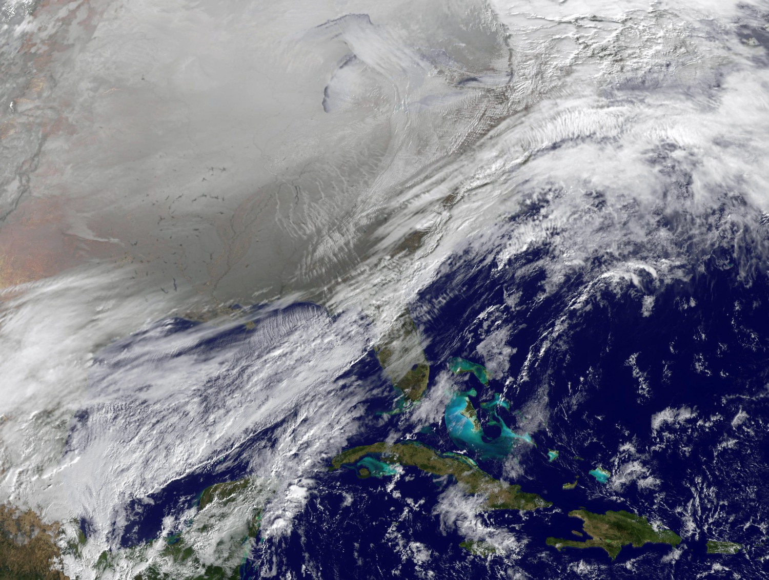
The biggest weather story this week has undoubtedly been the ice and freezing rain that have been impacting the south-central U.S. and into the Ohio and Tennessee valleys. This active storm track is predicted to reach the mid-Atlantic in the coming days, increasing the risk for wintry precipitation for this part of the country. The Great Lakes are also in store for lake-effect snow by the end of the week.
The greatest threat of a wintry mix along the Eastern Seaboard will occur on Wednesday into Thursday in the southern portion of Virginia. Moisture will be limited to a few flurries in places such as Washington, D.C. unless the storm track moves farther north than anticipated. Because the mass of Arctic air is devoid of moisture, the dry conditions will push any precipitation coming in from the south away from the coldest temperatures. This will inhibit the formation of wintry precipitation in the areas experiencing the coldest temperatures.
However, the Arctic air will be enough to produce some bands of lake effect snow across the area downwind of Lake Ontario and Lake Erie.
The good news for those not wanting to deal with frigid temperatures is that the Arctic air will not have a great deal of staying power. You can expect the mercury to rebound by as much as 40 degrees from Saturday to Sunday in many areas. These readings will land right at about normal levels for the first weekend in February across places such as Philadelphia and Boston.
Did you find this content useful? Feel free to bookmark or to post to your timeline for reference later.

January 21, 2024

January 19, 2024

January 18, 2024
