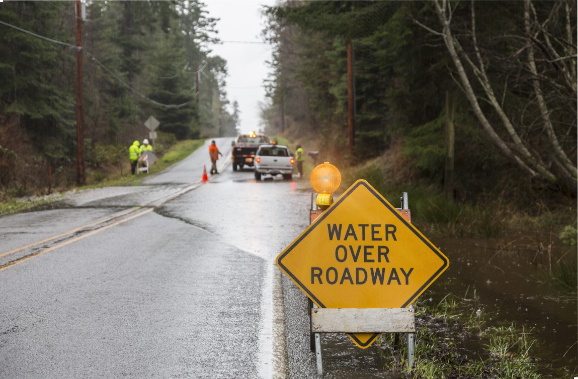
Heavy Rain, Flooding, and Chance of Severe Weather Staring Down the Southern U.S.
January 22, 2024
Posted: October 28, 2021 10:35 am


Another Round of Rain is on the Heels on the Nor’easter
It is not even November and the East Coast has already experienced its first nor’easter of the year. The storm really got going on Tuesday, sending millions of residents along the New England coastline bracing for cover.
Hurricane-force winds in Massachusetts were the biggest story of this nor’easter. A gust of 113 mph was recorded in Truro on Cape Cod. The town of Duxbury saw wind speeds of about 100 mph. The peak wind gusts reached 87 mph in Scituate. Elsewhere, gusts of 83 mph were reported Tuesday night in Wellfleet.
Meanwhile, a small plane was picked up and moved to the middle of a road in New Bedford. The aircraft sustained major damage after it hit a tree and flew over the fence surrounding the airport.
Up the road in New Hampshire, wind gusts on top of Mount Washington hit 81 mph. The observatory that sits on top of this 6,267-foot mountain is distinguished as being one of the windiest elevations in the US because of its topography.
The high winds across the region triggered widespread power outages and numerous reportings of downed trees and powerlines. By early Wednesday when the storm had finally started to die down, there were more than 490,000 customers without power in Massachusetts with another 92,000 in the dark in Rhode Island.
Unlike most nor’easters that happen later in the winter, this October storm dropped down precipitation in the form of rain rather than snow. This system almost certainly would have been characterized as a dangerous blizzard if it would have happened a few months later.
Islip, New York, saw about an entire month’s worth of rainfall when it recorded nearly four inches at the airport. The average amount of rain for October is 3.97 inches. Tuesday’s rainfall amount broke the record of 1.50 inches set back in 1981.
Other areas that saw old records shatter include the New York cities of Syracuse, Kennedy, and Binghamton. Eastern Long Island measured a 24-hour rainfall reading of a whopping 5.94 inches by late Tuesday.
The heavy rains prompted a flash flood emergency for the towns of Moravia and Locke, New York. This emergency was triggered when Owasco Inlet reached major flood stage after cresting 11 feet early in the evening. This reading is almost two feet higher than major flood stage.
Like the powerful bomb cyclone that slammed into the West Coast earlier in the week, this East Coast storm also went through the process of bombogenesis. This weather phenomenon is defined when the central pressure of a storm drops by at least 0.71 of an inch of mercury within a time period of just 24 hours. This storm barely cleared that bar on Tuesday as it swirled off the coast.
Although the worst of the rain and wind from this nor’easter is likely over for the region, the system is still distinguished as an area of low pressure sucking in air from the atmosphere. As this continues to happen, the air will move into the center of the storm and trigger more windy conditions for the southeastern portion of New England in the coming days.
This presence will keep the rough surf in place through Thursday. Forecasters are warning that beach erosion is likely along with the dangerous seas. As the storm system continues to spin in the warmer waters of the Atlantic Ocean, there is still a chance that it could take on tropical or subtropical characteristics. Should this happen, the system would adopt the name Wanda from the pre-determined list of names set by the National Hurricane Center (NHC).
The good news is that this system, regardless of further development, will continue to track to the east and away from the US.
The nor’easter is forecast to push away from the US coast by Thursday, however, another storm will follow in its wake. This second storm is what is left of the bomb cyclone that first impacted the West Coast before moving over the Rocky Mountains and into the Midwest. The rain from this system will expand over the Ohio Valley on Thursday before reaching the mid-Atlantic and southern parts of the Northeast on Friday.
The areas most likely to see significant rainfall out of this system on Friday include southern Pennsylvania, northern Maryland, northern Virginia, and the eastern half of West Virginia. By Saturday, the heaviest of the rains will move to the east, bringing yet another round of persistent precipitation to the same area of New England that saw the rain from the nor’easter.
One thing that is sure is that this latest round of storms will bring an end to the dazzling fall foliage that draws millions of people to this corner of the US each fall. The strong winds and wet rain sent the remaining leaves crashing to the ground.

January 21, 2024

January 19, 2024

January 18, 2024