
Heavy Rain, Flooding, and Chance of Severe Weather Staring Down the Southern U.S.
January 22, 2024
Posted: October 27, 2022 2:55 pm


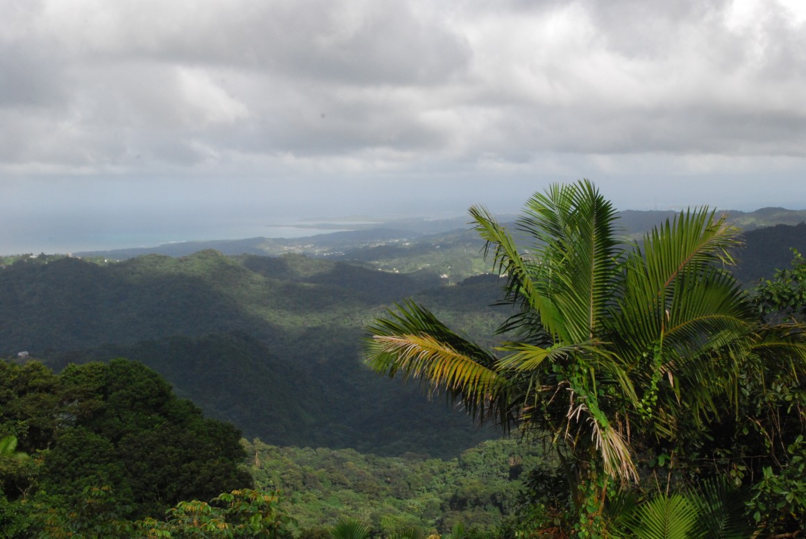
The last thing that Puerto Rico needs is more rain, however, this is what the island is in store for to close out the week as a surge of tropical moisture descends on this part of the Caribbean.
A large disturbance is anchored over the southwestern Atlantic Ocean, bringing the area of moisture to the north and closer to Puerto Rico. This movement is causing forecasters to warn that the island may be under the gun for a possible flooding event in the coming days. The tropical moisture is already ushering in torrential rain to parts of the Caribbean with no signs of letting up.
The heavy rain started to fall throughout the western edge of Puerto Rico late Tuesday. The eastern part of the island began to see the impacts of this tropical moisture when they woke up Wednesday. In addition to the heavy rain, the disturbance has also triggered thunderstorms.
The eastern town of St. Thomas had recorded 4.29 inch of rain by the middle of the week as a result of the unrelenting precipitation, securing a spot as one of the wettest days on record. Widespread amounts of 2 – 3 inches were reported in other areas of the U.S. territory. This includes the capital city of San Juan, reporting slightly over 2 inches of rain in a period of only 12 hours.
The moisture is predicted to hover over the region through the end of the week. This forecast supports the decision of the National Weather Service (NWS) to extend the current flash flood watch in Puerto Rico through the end of day Friday.
In the near future, rainfall totals are expected to total 3 – 6 inches in the region stretching from Puerto Rico to the Virgin Islands. Localized higher amounts of 6 – 12 inches are possible in the eastern portions of Puerto Rico across the British Virgin Islands.
Rainfall of this magnitude will undoubtedly raise the risk of dangerous flash flooding. Puerto Rico is particularly vulnerable to the flooding as it continues to recover from the impacts of September’s Hurricane Fiona, an event that weakened the island’s already fragile infrastructure.
Major flooding is predicted for the eastern edge of the territory. In addition to the damage it may inflict on structures and roads, travel will be significantly hindered across the island.
Mudslides are another concern, particularly for the higher terrains. Lastly, the territory’s clean drinking water supplies could be impacted yet again if the water rises to a level that filtration systems cannot keep up with processing.
The torrential rain will cause water to pool on the roads over the next few days. Streams and rivers will also see their levels rise rapidly, creating a high risk of overflow and flooding in low-lying areas. It is important to keep in mind that many of the island’s waterways are already at higher than average levels.
The existing plume of precipitation will fade away over the weekend when a new tropical development takes root in the Caribbean Sea. Although this will bring an end to the firehouse effect of the moisture over Puerto Rico, the potential new system may bring in more disruptions to the region.
The disturbance over the western Atlantic Ocean could potentially threaten the Caribbean by early next week. Forecasters with the National Hurricane Center (NHC) are still not certain where this feature will head in the coming days and to what degree it will strengthen. While this feature only had a low chance of development earlier in the week, forecasters have since upgraded it to a medium chance of further intensification.
The official end of the 2022 Atlantic hurricane season is still over a month away.
Did you find this content useful? Feel free to bookmark or to post to your timeline for reference later.

January 21, 2024

January 19, 2024

January 18, 2024
