
Heavy Rain, Flooding, and Chance of Severe Weather Staring Down the Southern U.S.
January 22, 2024
Posted: February 2, 2023 3:16 pm


Snow Squalls Forecast for the Interior Northeast as Southern Plains Deal with Ramifications of Ice Storm
Unfortunately for those residents of the south-central U.S. currently dealing with the fallout of a major winter storm, Punxsutawney Phil predicted on Thursday morning that the country is in store for six more weeks of winter. Here is what transpired Groundhog Day and what you can expect for the rest of the week.
The famous furry weather forecaster emerged from his burrow at 7:22 am in Punxsutawney, Pennsylvania where he saw his shadow. Legend has it that Phil seeing his shadow means that more winter is in the cards. Not surprisingly with this prediction, it was only 12 degrees in Punxsutawney when Phil woke up and made his prediction.
The lore of Punxsutawney Phil goes back to the year 1887. Since that time, crowds gather in the small town located in western Pennsylvania at the crack of dawn to watch Phil come out from his burrow at Gobbler’s Knob.
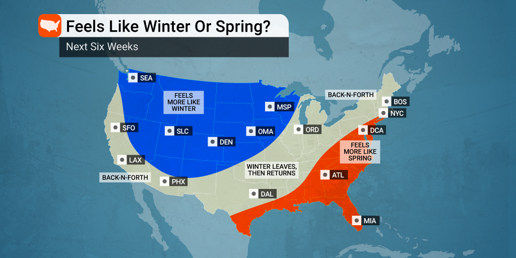
If you are not happy with Phil’s prediction this year, you can take solace in knowing that the famous groundhog has only been correct about 40% of the time. In addition, he is more likely to see his shadow than not. The groundhog has predicted six more weeks of winter 107 times with an early start to spring only coming during 20 of his guesses.
In the short-term, it looks as if Phil’s prediction for more winter is right on the money. A rush of Arctic air that may bring record-challenging temperatures to the Northeast will also bring the risk of snow squalls late Thursday and through Friday.
Meteorologists are cautioning that snow squalls could fire up out of nowhere, bringing potential whiteout conditions to a large area of the interior Northeast. Snow squalls feature both heavy snow and strong winds. The combination can take visibility levels down to nearly nothing. Because the squalls come on quickly and with great intensity, they are often to blame for serious vehicle accidents.
The worst of the snow squall activity is forecast to happen along the leading edge of the Arctic front. The squalls are expected to first form across the St. Lawrence River Valley and expand southward into portions of New York, Pennsylvania, and New England in the evening and overnight hours on Thursday.
Canadian cities such as Toronto, Ottawa, Montreal, and Quebec City will see the first of the heavy snow with American cities including Buffalo and Syracuse next in line. The risk of dangerous whiteout conditions will be heightened because the bulk of the squalls will form after the sun goes down, sending visibility even lower.
The risk will be diminished by the time the front edge of Arctic air reaches major cities such as Boston, Philadelphia, and New York City. This area of the Interstate 95 corridor should expect flurries and light snow showers by Friday morning.
However, more lake effect snow squalls will be in the forecast farther to the north and west throughout the day Friday. Although these snow squalls will be more localized, they will still carry the chance of whiteout conditions.
The snow will be exacerbated by gusty winds on tap for Friday and into Saturday. These winds will serve to whip around any snow already on the ground or still falling from the sky. All of this snow and wind will be in addition to the bitter cold expected with the Arctic air mass.
In short, it will be a potentially dangerous situation to be out on the roads starting late Thursday and continuing through the overnight hours Friday and into Saturday. Be sure to be prepared for inclement weather conditions should you become stranded.
While the Northeast braces for Arctic air and wintry precipitation, the southern Plains is still dealing with the lingering ice and freezing rain that has distinguished the weather nearly all week. The bulk of the precipitation is shifting to the east with warming temperatures in Texas expected to bring relief to the Lone Star State by Thursday afternoon.
The onslaught of ice has brought down trees and power lines, leaving at least 400,000 in the dark in the state of Texas alone. About half of these power outages are located in Travis County, home to the capital city of Austin. There are also about 60,000 customers without power in Arkansas as a result of this weather maker.
At least 10 fatalities have been blamed on the winter storm, all at the hands of vehicular accidents across Texas, Oklahoma, and Arkansas.
Did you find this content useful? Feel free to bookmark or to post to your timeline for reference later.

January 21, 2024

January 19, 2024

January 18, 2024
