
Heavy Rain, Flooding, and Chance of Severe Weather Staring Down the Southern U.S.
January 22, 2024
Posted: November 22, 2022 3:00 am


After a unseasonably long string of dry days, the Pacific Northwest is back under the threat of wet weather heading into the Thanksgiving holiday. While the moisture will fall as rain in the lower elevations, the higher terrains will experience snowfall that could disrupt travel over some of the region’s mountain passes. The silver lining is that the precipitation will finally push out the stagnant air that has been hanging out over the area in recent days. Here is what you need to know about this intense weather maker.
Storm Will End Record Dry Streak for Seattle
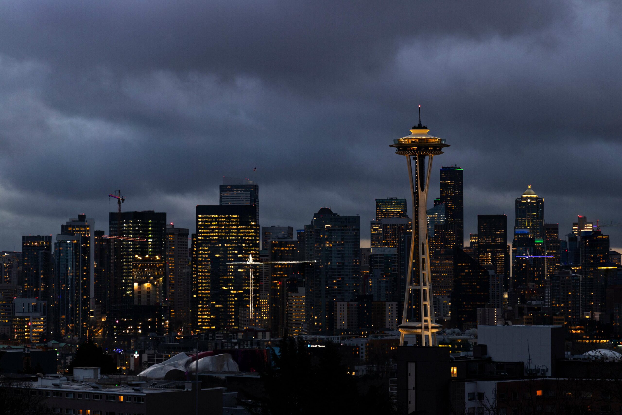
The current storm system will break the record dry streak that the city of Seattle has enjoyed over the last few weeks. With another dry day on Sunday, the Emerald City tied the record for the longest stretch of dry days in the month of November at 13. With no rain in the forecast on Monday, this record from 2000 will likely be broken.
The lack of rain over the last several days has been attributed to an area of high pressure anchored over the Northwest. While most residents have enjoyed the break from what is usually the start to the rainy season, the nice conditions have come at a cost. Weeks of stagnant air has triggered a buildup of environmental pollutants, leading to poor air quality across a large area.
In addition to the lack of moisture, the high pressure has also kept winds to a minimum. This has compounded the poor air quality even further.
The winds are forecast to pick up as the storm system moves into the region. These strong winds paired with the impending moisture will push these pollutants out of the atmosphere, improving the air quality in the process.
The improvement in air quality will be a relief to the region’s most vulnerable populations struggling to breathe in this environment. However, the rapid acceleration of moisture could spell headaches for travelers heading out for the holiday.
How Much Precipitation to Expect
Locally heavy rain is in the forecast for Tuesday. The rain may be enough to reduce visibility on the roadways. Additionally, the long stretch of dry weather has led to the buildup of oil and grime on the roadways. This will increase the risk of slippery roads and ponding as well as the threat of hydroplaning.
Seattle is forecast to see about a half of an inch of rain on Tuesday. Areas to the south, including Portland and Salem, Oregon, may see about a quarter of an inch of rain. Temperatures in these lower elevations will hover in the low to mid 50s.
Travelers heading up into the Cascades will see a wintry mix. Snow levels will hover around 5,000 feet at the start of the onslaught early Tuesday, however, this level is forecast to drop to about 3,500 feet beginning Tuesday afternoon and into the evening hours. Snowfall amounts of about 6 inches will impact the mountain passes.
The snow may hit about a foot of new accumulation in areas above the passes, helping ski resorts to get a head start on the season. This snow will stretch as far as the northern Rockies in the coming days.
The quick-hitting storm will exit the Pacific Northwest on Wednesday, giving last-minute travelers clearer conditions. Thanksgiving is also forecast to be relatively quiet for this corner of the U.S. However, another round of moisture is predicted to move into the Northwest on Friday, setting off an unsettled weather pattern to close out the month of November.
Did you find this content useful? Feel free to bookmark or to post to your timeline for reference later.

January 21, 2024

January 19, 2024

January 18, 2024
