
Heavy Rain, Flooding, and Chance of Severe Weather Staring Down the Southern U.S.
January 22, 2024
Posted: February 11, 2023 7:59 am


A duo of storm systems is setting up to strike the western half of the U.S. starting this weekend, bringing significantly cooler air and the threat of rain and snow to a large part of the region. Here is what you can expect in the coming days.
First Storm Already Firing Up Across the West
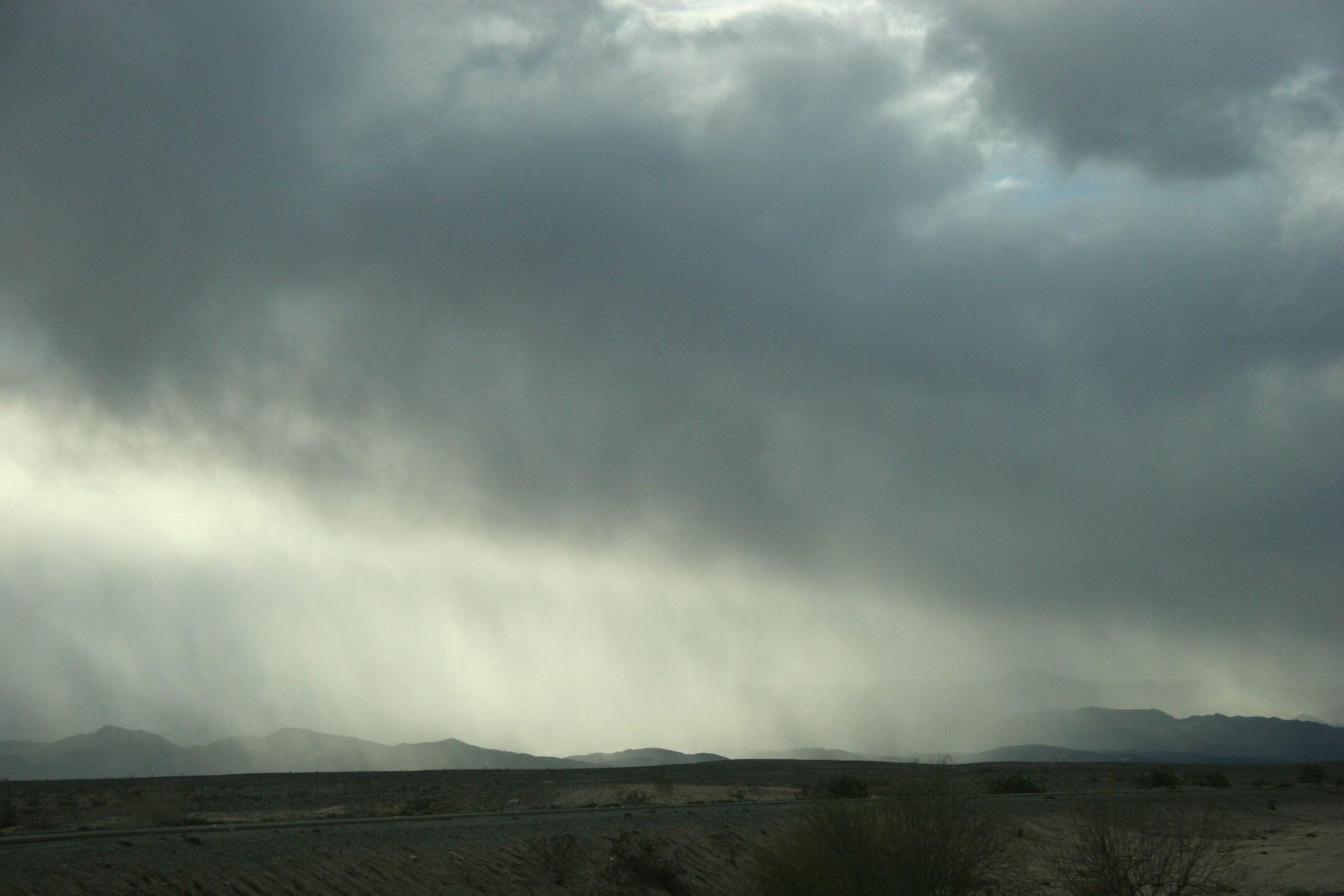
While the precipitation associated with these storms will help California and the surrounding states dig out of the drought, it could also make for a wet start to spring training in Arizona as well as hamper travel for people heading home after the Super Bowl. The weaker of the two storms will hit this weekend, setting the stage for the bigger storm expected to hit by the middle of next week.
The San Francisco Bay Area will see rain to start the day Saturday with the showers expanding into Southern California later in the day and into Sunday. The Central Valley of the Golden State may also see a few light rain showers on Saturday as the system pushes through.
Accompanying the moisture will be a drop in the temperatures. Temperatures across the Bay Area will fall as much as 15 degrees by Saturday with a similar change on tap for Southern California. For instance, the high in Los Angeles will fall from the upper 70s on Friday to the low 60s for the weekend. Overnight lows in the City of Angeles will land in the low 40s, well below average for this part of the state in February.
The first of the two storms is not expected to generate much in the way of snow since it is expected to hug the coast, an area where temperatures naturally trend on the warmer side. However, these snow levels will begin to drop over the weekend as the colder temperatures begin to envelop the region. You can expect to see snow levels fall as low as 3,500 feet in the mountains surrounding Los Angeles. Travelers on Interstate 5 across the Grapevine should also be prepared for a slushy mix of snow and rain.
Details of Second Storm System
The first weather maker is forecast to move out of California and into Arizona and New Mexico by late Monday. This will generate the chance of rain for the lower elevations and snow for the mountains in the Four Corners region.
Tourists hanging around Phoenix after Sunday’s Super Bowl will be disappointed in Monday’s forecast of rain and temperatures only in the upper 50s. The sun is not expected to come out again in the Valley of the Sun until Wednesday, however, the cold readings in the 50s will stick around until Thursday.
In addition, baseball fans arriving in Arizona for the kickoff for spring training will be greeted with temperatures as low as 20 degrees below average. High temperatures average in the low 70s this time of the year in Phoenix and its suburbs.
The second storm of the duo will produce more widespread impacts. The Pacific Northwest will be under the gun with this storm starting late Sunday. The hilly terrain surrounding Seattle and Portland may see accumulating snow after the sun goes down, leading to a potentially messy Monday morning commute.
The snow is expected to spread into the Great Basin and the mountains of Northern California and the northern Rockies late Monday and into Tuesday. The weather maker will arrive in the Four Corners region and the central portions of the Rockies by early Wednesday.
Looking Ahead to the Middle of the Week
By the middle of the week, much of the western half of the U.S. will see the unseasonably cold temperatures. Cities that may experience significant amounts of snow out of this particular system include Reno, Salt Lake City, and Flagstaff, Arizona. With the cold temperatures expected to take over the Four Corners region, snow levels may drop as low as 2,000 feet.
The storm system will not be done after it exits the West. Next up in its path will be the Plains, the Midwest, and the southern tier of the nation. The system is forecast to still pack enough energy to generate snow, torrential rain, and the possibility of severe weather by the end of the week.
High pressure is set to begin to build again across the West, ushering in drier weather and warmer conditions by the end of next week. In the meantime, the state of California will certainly welcome any moisture to assist in providing relief to the ongoing drought. According to Thursday’s U.S. Drought Monitor report, the state is still dealing with widespread severe and moderate drought conditions.
Did you find this content useful? Feel free to bookmark or to post to your timeline for reference later.

January 21, 2024

January 19, 2024

January 18, 2024
