Heavy Rain, Flooding, and Chance of Severe Weather Staring Down the Southern U.S.
January 22, 2024
Posted: October 24, 2023 8:21 am


The leftover pieces of what was once Hurricane Norma will bring relief to the drought-stricken southern and central Plains in the coming days in the form of a soaking rainfall. Here is what you need to know about this soggy forecast.
History of Norma and What is Next
Hurricane Norma came on shore across the southern tip of Mexico’s Baja California Peninsula as a Category 1 storm on Saturday afternoon. The former major hurricane got its start in the East Pacific before moving across Mexico. By Monday, the storm was moving across the primary impact zone of Mazatlán to Culiacán, making a second landfall on the mainland of Mexico. The storm will continue to bring heavy rain and high winds to this part of the country.
While the storm is no longer packing the same wind intensity and moisture that it was when it exploded into a Category 3 hurricane last week, its remnants will bring much-needed rain to parts of the U.S. In addition to the after-effects of Norma, a southward dip in the jet stream across the western third of the U.S. will also spark rain showers to the south. Although a great majority of the Plains states could use the moisture, the heavy nature of this rain could create widespread travel delays and the risk of flash flooding.
Latest on Drought Conditions
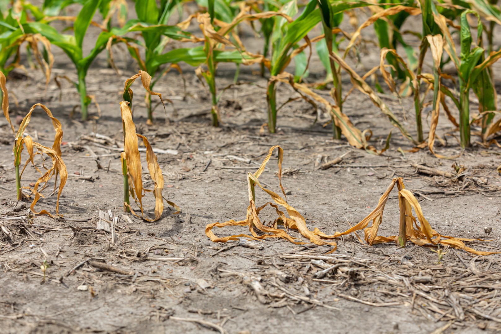
According to last week’s report from the U.S. Drought Monitor, current drought conditions range from moderate to exceptional across many areas of the south-central U.S. and to the west into the Four Corners region. An exceptionally dry and hot summer and start to fall is to blame for the ongoing drought.
It has been particularly dry in Texas. For instance, both Dallas and San Antonio have recorded less than 30% of the historical norm of rain since June 1. The far-reaching drought has also impacted water levels on the Mississippi River, coming in at historic lows that have stymied the flow of commerce on this major waterway. Additionally, the low water levels have paved the way for salt water from the Gulf of Mexico to flow up in the mouth of the river, putting the safety of the drinking water in jeopardy in southern Louisiana.
This upcoming weather maker will not completely erase the drought but every little bit counts. The slow-moving nature of this wave of moisture will also support better absorption by the dry ground.
The greatest risk of flash flooding will be across southern and western New Mexico, throughout West Texas, and into Oklahoma and Kansas. These areas will see widespread rainfall amounts of 1 – 3 inches. Be sure to exercise caution when taking to the roads, especially in the moments right after the precipitation begins to fall.
Driving Influencers Behind This Rain Maker
The position of the jet stream making its way across Southern California to start the work week will influence how much rain falls and who sees the highest amounts of moisture. The movement of the jet stream and how it comes into contact with the remnants of Norma will be the driving force behind the timing of the rain, its intensity, and the duration.
Forecasters are predicting that the winds circulating high in the atmosphere will work to bring up Norma’s tropical moisture from Mexico and deposit it into the southern U.S. on Monday and Tuesday. If this system jogs to the east at a fast clip, the heaviest of the rain could hit the central portions of the Lone Star State by the middle of the week. Conversely, a slower moving storm would keep the heavy rain related to western Texas until Thursday.
The speed of this system will also influence cold air coming down from Canada as the month of October comes to a close. The Rockies are likely to see measurable snow and significantly colder temperatures by the end of the week. Even lower elevations in the interior West may experience this early shot of winter as the weekend approaches. Stay tuned as forecasters learn more about how all of these dynamic weather systems will interact with each other to influence the conditions over the last few days of October.
Did you find this content useful? Feel free to bookmark or to post to your timeline for reference later.

January 21, 2024

January 19, 2024

January 18, 2024