Heavy Rain, Flooding, and Chance of Severe Weather Staring Down the Southern U.S.
January 22, 2024
Posted: March 15, 2023 9:15 am


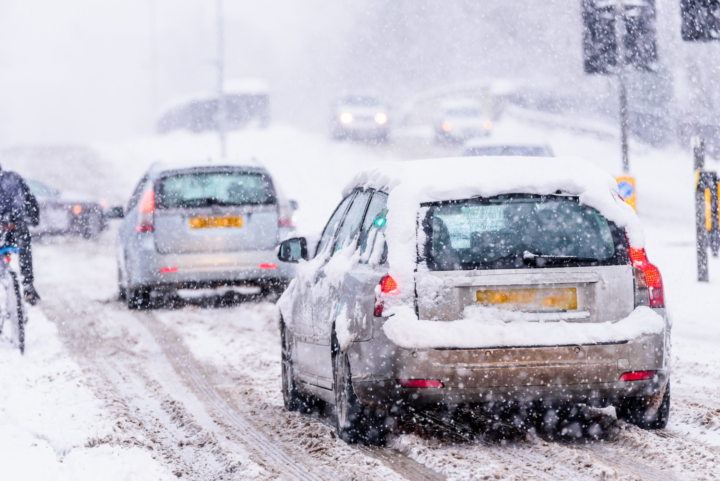
A dynamic storm system triggering both snow and severe storms will disrupt life across the central U.S. on Thursday and Friday. While the northern edge of the weather maker will produce heavy snow, it will be the potential of severe thunderstorms and rain causing issues in the southern Plains and into the lower Mississippi Valley. Here is what you need to know about this two-sided storm system.
The storm will get its start from the energy left from the atmospheric river that has been pounding California over the last several days. The remnants of this system will push to the West and reorganize as it comes down from the Rocky Mountains on Thursday. The beginning stages of the snow will fire up late Wednesday in the northern and central Rockies before moving down the mountains and into the High Plains.
An area of low pressure is forecast to take root over Kansas on Thursday, causing more snow to develop in parts of the Dakotas, Nebraska, Iowa, and Minnesota. The system is predicted to gain in intensity as it moves to the northeast, bringing yet more snow to parts of Minnesota and Wisconsin late Thursday and into Friday.
A general 6 – 12 inches of snow is forecast to fall near the shores of Lake Superior. This latest storm will also drop measurable accumulation to Minneapolis, an area that has been hit hard by wintry precipitation this season. The city has already recorded 80.3 inches of snow this season, almost twice its historical average of 43.8 inches. This winter is already sitting as the eighth-snowiest season on the record books for the Twin Cities.
Minneapolis is forecast to see 3 – 6 inches of more snow from the latest weather maker. This could bring the season into the top five of all-time snowiest winters for the city. The all-time snowiest winter season happened in 1983 – 1984 when 98.6 inches were recorded.
Some parts of the northern Plains and the Upper Midwest already have significant amounts of snow on the ground. A roof at a mall in Duluth, Minnesota collapsed on Tuesday morning under the weight of the existing snow. Approximately 12.5 inches of snow fell in Duluth on Sunday and Monday. This measurement is part of the 23 inches total that have been recorded in the city in March alone.
Forecasters are warning that this late-week storm system will bring deeper snow to the region that is already buried. Some parts of the Dakotas, Minnesota, Wisconsin, and Michigan currently have 1 to 4 feet of snow on the ground. This could also spell trouble when the temperatures warm up and release this water.
The south-central U.S. will be ground zero for severe weather by Thursday as the energy from the heavy snow storm meets with the moisture from the Gulf of Mexico. Localized flooding could be a concern as this moisture from the Gulf moves to the north and finds wet ground left by previous storms.
The greatest threat of urban and flash flooding will be in a zone stretching from the central and eastern portions of Texas, into Louisiana, eastern Kansas, and Missouri. You can expect the storms to fire up during the morning and afternoon hours on Thursday with the cells gaining in intensity as the day goes on. These storms will pack strong winds and hail. While this system is not expected to produce widespread tornadic activity, an isolated twister or two is not out of the question.
Large metropolitan areas at risk of seeing severe weather on Thursday include Austin, Dallas, Oklahoma City, Kansas City, and Little Rock.
Although the risk of severe storms will be lower on Friday, there is still a chance of some rumbles of thunder happening as the work week comes to a close. The areas most likely to see these storms include a large portion of the Southeast. The risk will be greater if a secondary area of low pressure is able to take root along the leading edge of the cold front.
The colder air moving in behind this front will likely mitigate the odds of further storm development heading into the weekend. However, this area of low pressure could trigger a small zone of wet and heavy snow in some portions of the mid-Atlantic and Northeast developing late Friday and into the overnight hours.
Did you find this content useful? Feel free to bookmark or to post to your timeline for reference later.

January 21, 2024

January 19, 2024

January 18, 2024