
Heavy Rain, Flooding, and Chance of Severe Weather Staring Down the Southern U.S.
January 22, 2024
Posted: October 27, 2023 1:48 pm


It is going to be a windy weekend for Southern California as the season’s strongest Santa Ana event yet whips the region. Not only will this make for uncomfortable conditions outside at times but it will raise the risk of wildfires. Here is what you need to know about the arrival of the Santa Ana events and what it means for Southern California.
Santa Ana Winds Will Follow Sundowner Winds
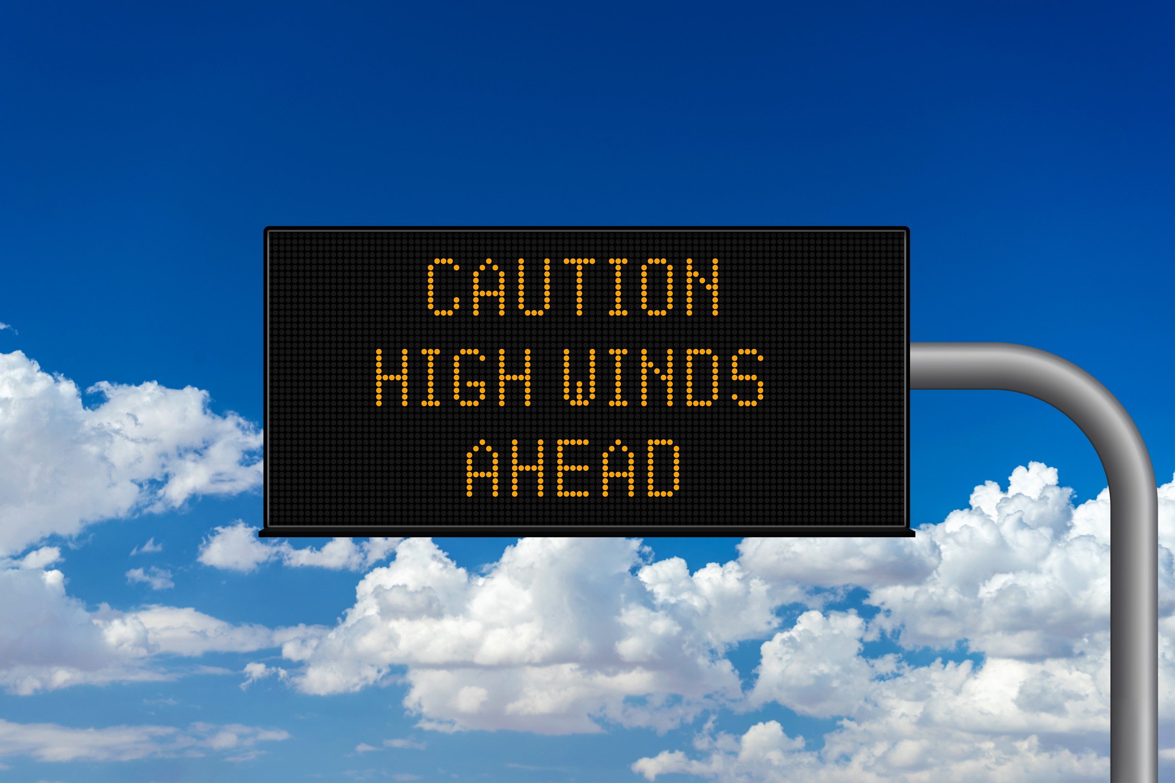
Wind gusts topping 80 mph are in the forecast this weekend for the southern part of the Golden State, creating the potential of travel delays and wildfires. The warm and dry winds are known for their ability to churn through the mountains and valleys around the Los Angeles metro area and beyond.
Millions of Californians will be impacted by these winds as they make the journey from the desert regions inland toward the coastal area. Prior to the arrival of the Santa Ana winds, nearby Santa Barbara County to the north will experience the onslaught of what is known as Sundowner winds.
The silver lining is that the higher than normal amounts of moisture for California over the last year could work to mitigate the odds of wildfire development when these winds begin to blow. However, meteorologists warn that the winds will be strong enough to set the groundwork for some degree of fire danger.
The first signs of a Santa Ana wind event became apparent earlier in the week when a storm roared through the Rockies and into the Plains states. These far-reaching storms are often signals that Santa Ana winds are brewing.
Meanwhile, the preceding Sundowner winds are predicted to pick up in the Santa Ynez Mountains in Santa Barbara County on Saturday. Gusts with this wind event could hit up to 45 mph, making travel difficult along the famous Highway 101 up and down the coast. These dry Sundowner winds will raise the risk of wildfire ignition in this part of the region.
Following the arrival of the Sundowner winds, the Santa Ana winds are forecast to blow Saturday night and into Sunday across Los Angeles and Ventura counties. Winds will hover between 40 to 60 mph with higher gusts a strong possibility. The highest gusts will typically blow in the higher elevations.
Risks Associated With These Dry and Warm Winds
Motorists using interstates 5, 10, and 15 in this part of California will want to be aware of the gusty conditions, particularly if driving a high-profile vehicle. Residents will also want to take the time to secure loose objects outside before Saturday evening.
The National Weather Service (NWS) is also warning that those in the impacted area should not burn trash or brush and should take care when using outdoor grills. These steps will help to lessen the risk of new fires during the heightened time of danger.
Wildfire risk in this part of Southern California will likely end up at elevated or critical levels thanks to the warm and exceptionally dry winds. Despite the massive amounts of moisture that the state has picked up over the last several months, this is the time of the year when vegetation begins to dry out and become more susceptible to catching fire and spreading quickly.
In addition, low humidity levels that typically accompany Santa Ana winds will increase the threat of fires. Forecasters are also warning that the unpredictability of these winds will translate to an unpredictable wildfire risk, making it important to stand guard throughout the event.
This Santa Ana wind event is not likely to linger for a long period of time. The winds are forecast to die down by late Sunday, lasting for a period of about 24 hours. The strongest winds will blow through late Saturday and into early Sunday. However, lighter winds will hang on in the mountains through the start of the work week.
Did you find this content useful? Feel free to bookmark or to post to your timeline for reference later.

January 21, 2024

January 19, 2024

January 18, 2024
