Heavy Rain, Flooding, and Chance of Severe Weather Staring Down the Southern U.S.
January 22, 2024
Posted: November 16, 2022 2:33 pm


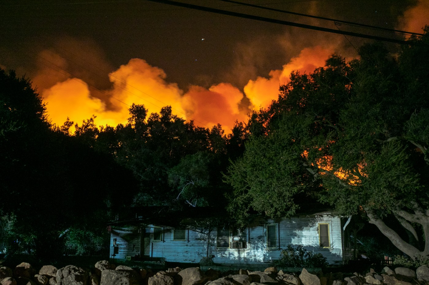
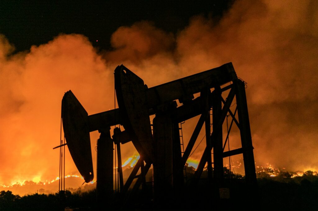
Right on schedule, the Santa Ana winds are here. The first Santa Ana wind event of the season is firing up across parts of Southern California on Wednesday. While these winds may be just a nuisance to some, the gusty conditions also come with some risks.
The strong winds are set in motion as a result of high pressure anchored over the Great Basin. As the winds start to rotate in a clockwise motion around the area of high pressure, they then travel down the mountains and canyons of the region. The gusts typically pick up speed as they travel downhill, creating the gusts that sweep toward the coastline.
This week’s Santa Ana event is bringing wind gusts of 50 – 70 mph in some of the higher terrains. The lower elevations are forecast to see gusts measuring 20 – 30 mph. A mountain north of downtown Los Angeles recorded a gust of 104 mph early Wednesday. Much of the region, including Los Angeles, is under a wind advisory as a result of the conditions.
These winds often trigger electrical outages as they bring down trees and power lines. Additionally, the gusty conditions raise the risk of wildfire danger. The winds also present dangers for high-profile vehicles. This is a good time to put away outdoor items that can become projectiles with the winds pick up.

The good news for those worried about the potential wildfire risk in Southern California is that this area has been relatively wet this month. For instance, Los Angeles has recorded 1.77 inches of rain in November. This moisture in the ground and vegetation will help to mitigate the risk of fires popping up. However, local officials warn that there are still pockets of dry ground across the region.
According to last week’s data from the U.S. Drought Monitor, almost 17% of the state is under the designation of an exceptional drought. Under this umbrella is Kern County, an area that is subject to this week’s Santa Ana wind event.
The greatest threat of wildfires will be late in the day Wednesday. Persistent winds throughout the day will dry out the ground just as humidity levels begin to drop.
Looking ahead, the winds are forecast to die down on Thursday with the high pressure moving away from the Great Basin. However, another wind event is predicted to ignite just in time for the weekend. The winds are predicted to start up again as early as Friday and last through Saturday, whipping around in a north to south direction. Although the second wind event of the week is not likely to be as significant as Wednesday’s gusts, it will still pose danger for fires and travel.
Did you find this content useful? Feel free to bookmark or to post to your timeline for reference later.

January 21, 2024

January 19, 2024

January 18, 2024