Heavy Rain, Flooding, and Chance of Severe Weather Staring Down the Southern U.S.
January 22, 2024
Posted: June 9, 2023 3:42 pm


A storm is on the horizon in the central portion of the U.S, gearing up to bring rain to the drought-stricken areas of the Midwest and into the Northeast. Here is when you can expect this rain to fire up as well as what the forecast says about the chances that the moisture will help to filter out the wildfire smoke currently swirling over the region.
More rain is in the forecast for parts of the overly dry Midwest and Northeast. It has been a week of smoke and haze for this part of the country as a significant southward dip in the jet stream has sent cool air and smoke from wildfires in Canada filtering into the mid-Atlantic, Great Lakes, and the Northeast.
This is also the same weather pattern responsible for keeping any moisture to the south out of the region this week.
However, a change is in the air for this weekend as the jet stream will lift and a new storm system is forecast to develop across the Plains states. It has also been relatively calm by June standards for the nation’s heartland with only sporadic storms.
More rain will fall in the central U.S. beginning this weekend, eventually making its way to the north and the east.
The prospect of a soaking rain is good news for much of the High Plains, Midwest, Great Lakes, Northeast, and other areas currently dealing with abnormally dry conditions.
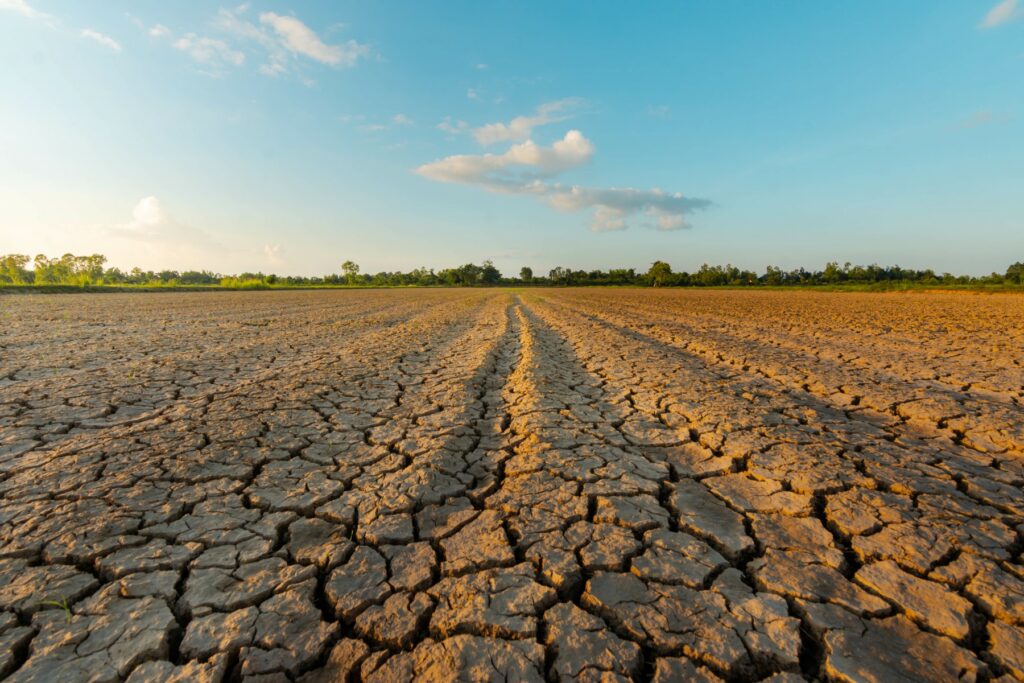
Many areas in this zone have only seen about 30% of the historical average of rainfall since the beginning of May. This lack of moisture has created extremely dry topsoil, raising the risk of wildfire danger and causing headaches for agricultural interests that desperately need the consistent moisture.
A large area stretching from Missouri to Michigan will see significant rain on Sunday afternoon and into the overnight hours. Farmers that have recently plowed their fields will welcome the solid soak. The Midwest may pick up 1 – 2 inches of rain in some places.
The rain is forecast to move to the east and into the Ohio Valley, Great Lakes, central Appalachians, and mid-Atlantic on Monday.
The weather maker will be able to bring up some moisture from the Gulf of Mexico and the Atlantic Ocean as it moves closer to the East Coast, helping to boost the overall precipitation amounts for the eastern Great Lakes and the Appalachians.
All of this is good news for a part of the country that has been in danger of dealing with a flash drought. For instance, some areas in the Northeast have gone from dry to drought conditions in just a few weeks because of a lack of moisture.

Unfortunately, all of this rain will also come with the standard risks associated with thunderstorms. Monday’s storm action will likely stretch from Ohio and to New York to the north and Virginia to the southeast.
The storms will bring the threat of strong winds and hail. In addition, the heavy downpours may send enough rain to cause flash flooding.
Looking ahead to the long-range forecast, forecasters are predicting that the moisture machine will pick up heading into the middle of June. Yet another storm is in the forecast for later next week, however, it is still too early to tell what path this storm will take.
There is also the chance that this late week storm could head so far north that it will bring much-needed rain to the fire-ravaged areas of southeastern Canada.
This second storm system for the week may also create more weather headaches for the central and southern Plains as well as the Mississippi Valley in the form of severe thunderstorms.
Another silver lining of the uptick of storms in the forecast is that the moisture should help to clear out the smoke infiltrating the northern U.S. in recent days. Air quality levels will likely improve as the rain cleans out the smoke across the East, the central Appalachians, and the mid-Atlantic.
In addition to providing rain, the storm system will also change the wind direction. This shift will send the smoke back into the eastern portions of Canada by early in the week. However, forecasters warn that the Upper Midwest and Great Lakes may see more of the smoke and haze as a result of the change in the steering winds.
Did you find this content useful? Feel free to bookmark or to post to your timeline for reference later.

January 21, 2024

January 19, 2024

January 18, 2024