Heavy Rain, Flooding, and Chance of Severe Weather Staring Down the Southern U.S.
January 22, 2024
Posted: April 29, 2022 2:50 pm


New Round of Stormy Weather to Close Out the Weekend for Southern Plains
After a relatively quiet week for severe weather throughout the U.S., widespread severe storms are back in the forecast to close out the week.
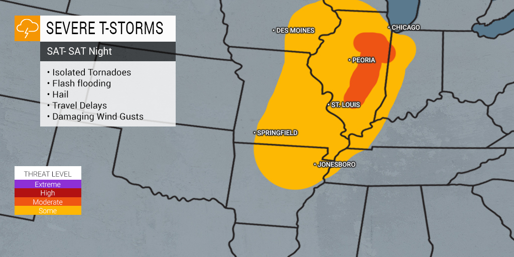
At least 10 states will be in the potential impact zone of a line of storms expected to fire up on Friday and Saturday through parts of the Midwest and Plains states. The system is forecast to come down from the Rockies and pick up intensity as it moves to the east. A wide range of inclement weather conditions will be possible out of this system, including large hail, damaging winds, flash flooding, and isolated tornadoes. Gusts of up to 75 mph will not be out of the picture with a storm system of this magnitude.
The storms will be fueled by strong winds produced by a rapidly intensifying jet stream pairing with moisture coming up from the Gulf of Mexico. The severe weather is forecast to ignite in the later afternoon hours of Friday and continue through the night. Cities that can expect to see stormy conditions include Wichita, Kansas City, Omaha, and Oklahoma City, cutting a line straight through the nation’s heartland.
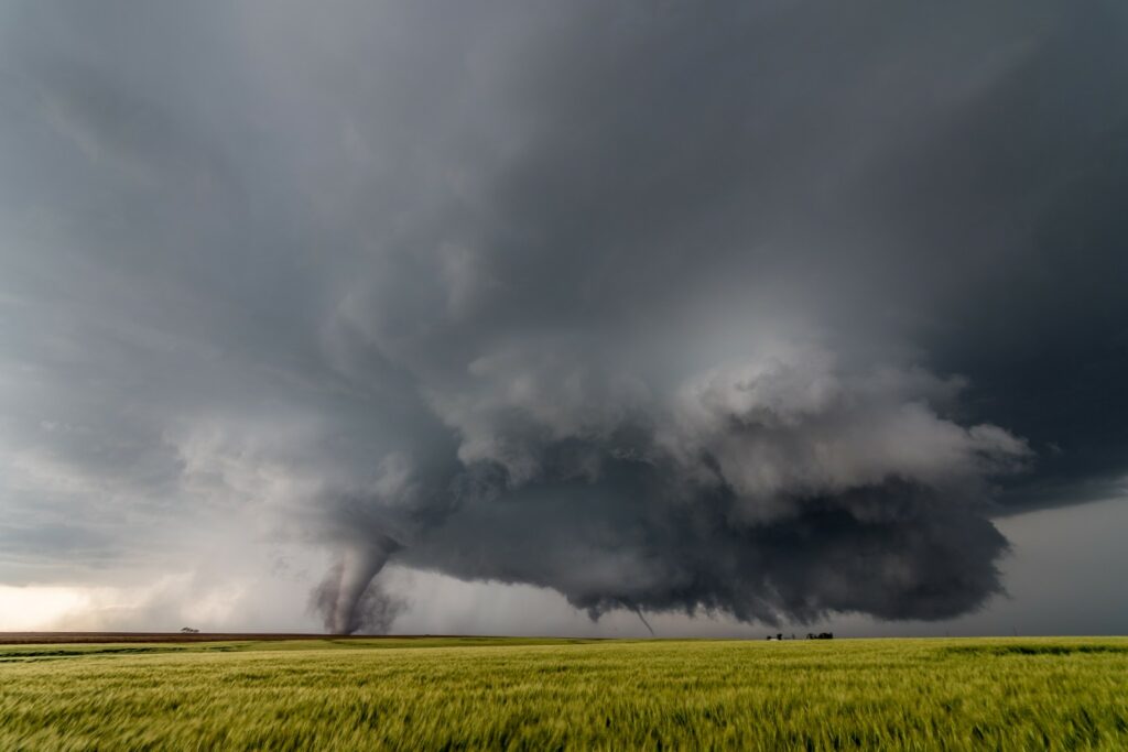
Forecasters warn that these storms will be strong enough to spawn tornadoes. While the area is not under an extreme risk, the tornadoes could be on the ground for an extended period of time should they develop. The areas most likely to see tornadic activity on Friday include the eastern portion of Kansas, central and southeastern Nebraska, and the northeastern corner of Oklahoma. It is important to note that the twisters could pop up under the cover of darkness, elevating the risk even further.

This line of storms is predicted to move slightly to the east and north on Saturday, giving Nebraska, Kansas, and Oklahoma a break. However, this just means that areas of the Mississippi Valley and parts of the Great Lakes will now be in the potential impact zone. Residents in cities such as Chicago and St. Louis need to be ready for severe weather beginning Saturday afternoon and lasting through the evening hours.
Although these storms are not predicted to be as intense as some of the rounds of weather that this region has already seen this spring, you can never be too prepared when storms are in the forecast.
This system will also bring an elevated risk of flooding to parts of the northern Plains. This region is still dealing with the aftermath of a slew of recent heavy rain and snow events that have left the ground saturated. With more precipitation expected out of this incoming system, the moisture may trigger flooding and intensify the current melting and runoff already in place.
Yet another round of severe weather is in the cards on Sunday and Monday for parts of the southern Plains states. This round of thunderstorms are part of a series of weather makers that continue to develop in the Pacific Ocean and move to the east.
A stalled frontal system is predicted to deliver heavy rain to parts of Texas and Oklahoma early in the week. This is good news for an area of the country currently experiencing drought conditions. According to the U.S. Drought Monitor, the bulk of this area is under the umbral of moderate to exceptional long-term drought. Unfortunately, any thunderstorm development also carries the risk of lightning strikes that could ignite a fire on the dry vegetation.
Did you find this content useful? Feel free to bookmark or to post to your timeline for reference later!

January 21, 2024

January 19, 2024

January 18, 2024