Heavy Rain, Flooding, and Chance of Severe Weather Staring Down the Southern U.S.
January 22, 2024
Posted: April 6, 2023 8:35 am


The central U.S. will get a bit of a break from the severe weather on Thursday, however, the threat will only move to the eastern portion of the country. A large stretch of the country stretching from the Carolinas up into the southeastern corner of New York state will see the highest risk of severe weather to close out the work week. Here is the latest on what weather forecasters are predicting for severe weather on Thursday and beyond.
The silver lining of the upcoming forecast is that the storms on Thursday are not expected to pack as much of a punch as the severe weather that killed at least five people in the Midwest earlier in the week. However, forecasters warn that the stormy conditions will be enough to negatively impact travel and other facets of life.
The storms will fire up as the incoming cold front meets up with the warm and moist air located along the Atlantic Seaboard. Unlike the weather on Tuesday and Wednesday, the risk of tornadoes will be quite small with this line of storms. The greatest risks will be strong winds and damaging hail.
You can expect to see the storms get going across the central and southern Appalachians by early Thursday. This includes a large portion of central New York state, central Pennsylvania through West Virginia, the western edge of Virginia, and the eastern portions of Kentucky and Tennessee. The storms may travel as far south as western North Carolina.
Rising temperatures after the sun comes up on Thursday will lay the groundwork for storms to intensify as the day goes on. This will produce new storms across the mid-Atlantic and northward. The busy Interstate 95 corridor will experience the greatest risk of strong storms late Thursday afternoon and into the evening hours. Prior to this, it will be the Interstate 81 corridor from Virginia up through Pennsylvania that will be in the bullseye.
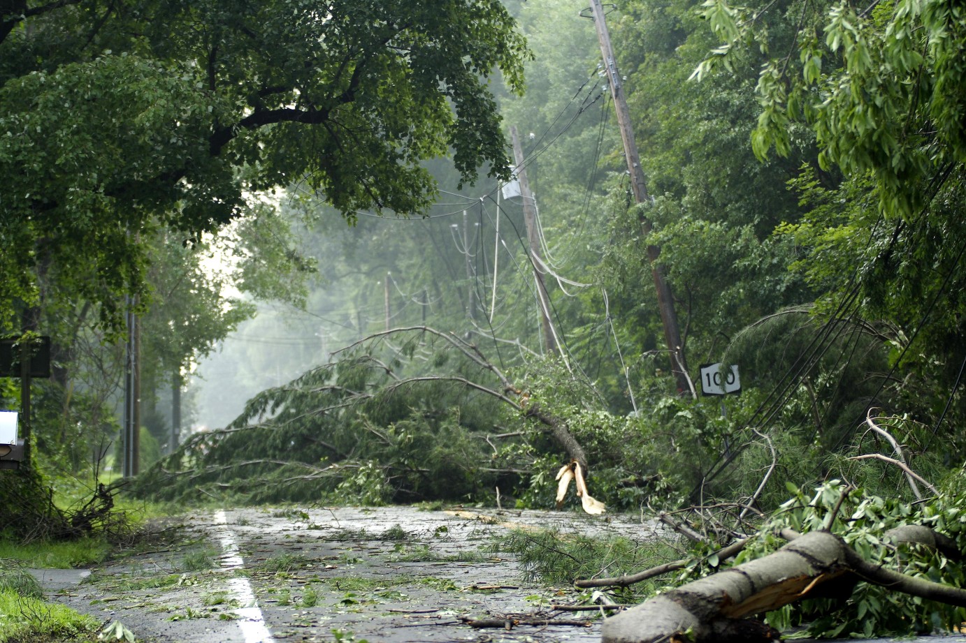
Major cities that could see this storm action by the evening commute include New York City, Philadelphia, Washington, D.C., Charlotte, and Raleigh. In addition to drenching rain, the storms could bring winds that knock down trees and power lines in isolated pockets across the region. Widespread winds of 40 to 50 mph are likely with some gusts hitting as high as 70 mph.
The heavy rain will also create the chance of poor visibility on roadways as well as ponding on low-lying areas. Motorists will want to exercise caution when driving.
Air travelers are being advised to stay informed of flight schedules as disruptions are likely. Approaching storms may lead to ground stops at some of the nation’s busiest airport hubs. The greatest chance of this happening will be in the Southeast, the mid-Atlantic, and the interior Northeast.
Looking ahead to Friday, cooler and drier air filtering in behind the storms will bring the threat of severe weather to an end for the mid-Atlantic. However, storms are still in the forecast for the Southeast and the Gulf Coast as the front stalls across this corner of the nation. The stalled front will produce heavy rain, raising the risk of flooding for an area from eastern Texas up through the Carolinas for the entirety of the weekend.
April has picked up where March left off when it comes to severe weather. There have been well over 400 preliminary reports of tornadoes for the first days of the new month, including a handful of deadly twisters in the central U.S.
In addition, the state of Delaware recorded its first death at the hands of a tornado in 40 years when an EF3 twister roared through the town of Greenwood on Saturday.
Did you find this content useful? Feel free to bookmark or to post to your timeline for reference later.

January 21, 2024

January 19, 2024

January 18, 2024