
Heavy Rain, Flooding, and Chance of Severe Weather Staring Down the Southern U.S.
January 22, 2024
Posted: December 15, 2022 5:45 pm


Nearly 50 tornadoes have been confirmed throughout the South so far this week as the severe weather continues to track to the east. Here is the latest about the monster storm system that has gripped the U.S. this week.
While the storm has impacted a large number of states in recent days, Louisiana has been hit especially hard. A tornado late Tuesday took the lives of a mother and her young son in Caddo Parish. On Wednesday, a 56-year-old woman was killed after a twister ripped through her home in St. Charles Parish. Dozens of others were injured at the hands of the powerful storms that destroyed homes, knocked out power for thousands, and sent debris flying.
Louisiana Gov. John Bel Edwards declared a state of emergency due to the widespread damage in several communities. Gretna Mayor Belinda Constant said that up to 5,000 structures were damaged in her city located across the Mississippi River near New Orleans.
In addition to the tornadoes in Louisiana, the last two days have brought confirmed reports of twisters in Mississippi, Texas, Alabama, and Florida. According to the Storm Prediction Center (SPC), the number of tornadoes is likely to go up as surveyors assess the damage throughout the region.
Over 15 million Americans are under the gun for more severe weather on Thursday as the storms move to the east and put Florida, Georgia, and the Carolinas in the crosshairs. The sliver of good news is that the storms are predicted to weaken when compared to the previous days. Cities that need to stay abreast of developing conditions include Tampa, Orlando, Jacksonville, Charleston, and Savannah. Potential impacts include strong winds, large hail, and more tornadoes.
Some areas of Florida are under a tornado watch as a result of the impending weather. There is also a travel advisory in effect for the Sunshine Skyway Bridge in the Tampa region because of high winds.
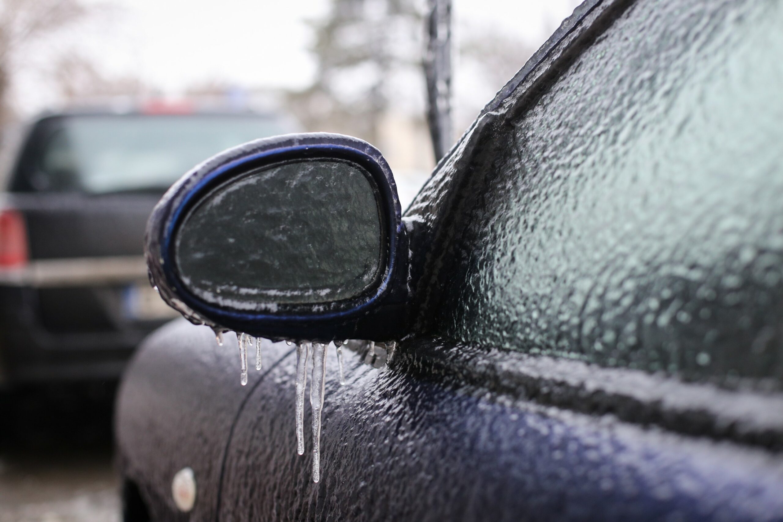
This immense weather maker is also causing a host of issues with snow and ice farther to the north. Travel was severely disrupted to the north-central U.S. as snow and ice blanketed the region. There were still about 150,000 customers without power as of Thursday morning in Minnesota, Wisconsin, and Michigan.
The conditions were so bad in State College, Pennsylvania that officials with Pennsylvania State University announced on Wednesday evening that final exams and other activities scheduled for Thursday were canceled. The small college town was expecting to see up to a quarter of an inch of ice followed by 3 to 6 inches of snow.
The inclement weather is now hitting as far south as the mountains of Virginia. This is making travel difficult along parts of interstates 80 and 81. A multi-vehicle accident along Interstate 76 in south-central Pennsylvania shut down the busy highway for a bit.
Freezing rain is also bringing down tree branches and power lines.
The only good news out of this powerful storm is that all of the snow is beneficial for the ski resorts in the Northeast. The heaviest snow is forecast to dump across the interior Northeast. Some areas of New York, Vermont, New Hampshire, and Maine will see 12 to 18 inches of fresh accumulation. This means that ski resorts in the Poconos, the Catskills, and the Green and White mountains will be happy with the new snow.
Did you find this content useful? Feel free to bookmark or to post to your timeline for reference later.

January 21, 2024

January 19, 2024

January 18, 2024
