
Heavy Rain, Flooding, and Chance of Severe Weather Staring Down the Southern U.S.
January 22, 2024
Posted: October 5, 2022 8:57 am


Summer has been hanging on much longer than usual throughout much of the country, however, that is about to change in the coming days as the coldest air of the fall season plunges into the Midwest and Northeast.
The Northeast has seen a dreary start to the month of October thanks to the remnants of Hurricane Ian making its way up the coast. For instance, New York City has hovered in the 50s for daily highs since Ian tracked into the region. Tuesday was the coolest day of the season thus far with highs only in the low 50s. This is a stark contrast for an area of the country that typically sees highs near the 70-degree mark during the first week of October.
While the Northeast is set to see a warmup by the middle of the week, the increase in the mercury and drier conditions will be short-lived. The sun is expected to make an appearance by Thursday throughout much of the region, bringing daily highs back up to normal levels to close out the work week.
This warmth will begin first in the Midwest before it moves to the coastal areas of the Northeast. The middle of the country will see readings in the low 80s in places such as Kansas City and St. Louis. This heat will expand to the east starting Wednesday with Philadelphia finally seeing the potential of a 60-degree day before the 70s move in on Thursday.
New York City, Baltimore, Washington, D.C., and more will all see the mercury start to climb dramatically on Thursday and Friday. These two days will be your best bets to get outdoors for the week.
Just as the Northeast is heating up, the Midwest will begin cooling down. A cold front is set to arrive into the nation’s heartland by Thursday, sending the temperature downward as the jet stream migrates to the south from Canada.
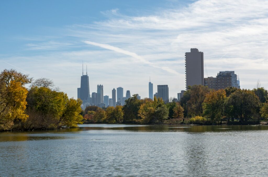
The blast of cooler air will first be felt across the western Great Lakes, including cities such as Milwaukee and Chicago. The overnight lows may drop to the freezing mark on Thursday night in some areas of northern Wisconsin and the Upper Peninsula of Michigan. In addition to Chicago, Detroit and Cleveland may also experience their first frosts of the season. Frosts are also possible in some parts of New England by Friday.
Forecasters are also warning of the potential of lakeshore flooding along Chicago’s south side and the southwestern corner of Michigan because of the cold air moving quickly over Lake Michigan.
This rush of cold air will quickly migrate to the east, reaching the Atlantic coastline by Friday. Temperature readings in the 30s during the overnight hours are in the forecast for much of the Northeast and mid-Atlantic on Friday night and Saturday morning. This freezing weather may expand as far south as northern Virginia.
The good news is that the primary growing season for most crops is already over. However, home gardeners may want to make that last harvest in the next few days before the ground potentially freezes.
Strong winds will make the real feel temperature even colder. Gusts may reach speeds of up to 30 mph as the cold front continues its journey to the east. These winds could translate to overnight real feel readings in the 20s through the Midwest and the Northeast.
Although the weather change will be quite dramatic, the front is unlikely to bring along significant precipitation. While there are no measurable accumulations predicted with this system, the mercury will drop enough to make it possible for light snow to fly across some parts of northern Michigan and Minnesota.
The highest terrains across New England may also see a light coating of slushy snow out of this system. Any slight accumulation will melt quickly due to the warm ground temperatures.
It may be a different story across the border in Canada as colder temperatures and higher amounts of moisture in the air may lead to measurable snow.
Looking ahead, the daily highs are forecast to inch up again by next week. However, the warm days may be over for the bulk of New England and upstate New York.
Did you find this content useful? Feel free to bookmark or to post to your timeline for reference later.

January 21, 2024

January 19, 2024

January 18, 2024
