
Heavy Rain, Flooding, and Chance of Severe Weather Staring Down the Southern U.S.
January 22, 2024
Posted: November 17, 2022 4:45 am


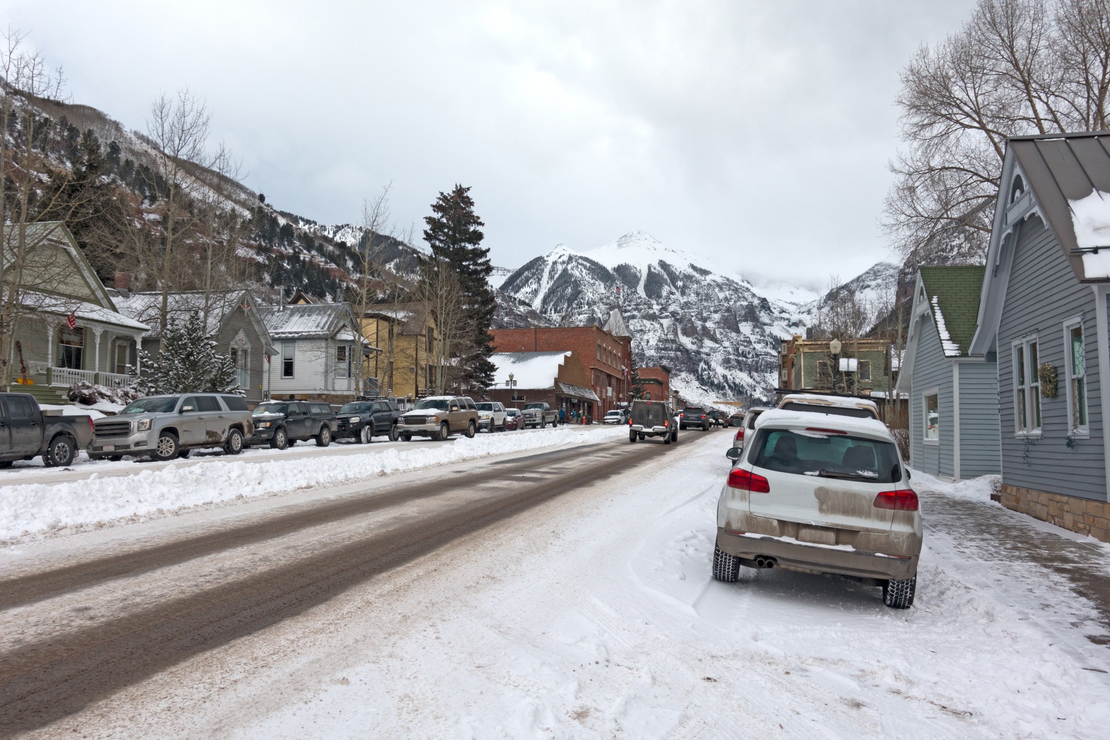
The many ski resorts in Colorado will be celebrating this week as significant snowfall is on the way for the Rockies and beyond. In addition to the measurable snow, the region will also experience a blast of Arctic air.
A mass of cold air that pairs with wintry precipitation is taking aim at the Intermountain West this week. The messy mix could spell trouble for travelers looking to get ahead of the Thanksgiving holiday.
The weather maker is the result of a cold front that is moving to the south along the Rockies. While the snow began to fall late Wednesday, it is not expected to let up until the end of the day Friday in many areas. This long-duration event will bring snow to a large swath of the Canadian and northern Rockies by Thursday morning. Central Wyoming will also be in the impact zone of heavy snow bands through Friday.
The snow fired up late Wednesday across parts of central Montana. Billings is forecast to see up to 6 inches of snow by Thursday. Areas to the south, including Casper, Wyoming, may be dealing with up to 4 inches of new accumulation for the Thursday commute.
The Arctic air will track farther to the south on Thursday and Friday, dragging the snow into areas such as Denver. The Mile High City will likely see its first flakes fly early Thursday afternoon. The heaviest of the snow bands will impact the Colorado Front Range beginning late Thursday and lasting through Friday morning.
Denver is predicted to see 2 to 4 inches of snow out of this system. The surrounding foothills and mountainous areas could see up to 10 inches by the time the system moves out. The high on Thursday will only reach about 26 degrees in Denver. It will be even colder on Friday with a high of just 23 degrees on tap even if the sun makes an appearance later in the day.
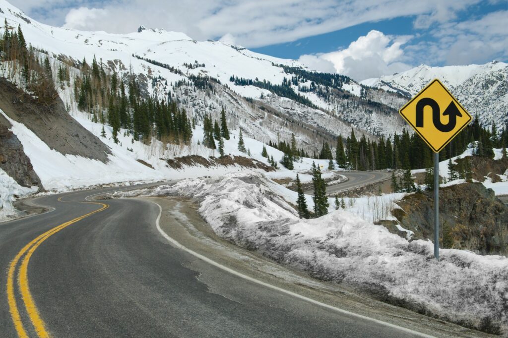
The sub-freezing temperatures predicted to push through the Front Range could cause the moisture to freeze on the roads rather quickly. Motorists in and around the Denver area will want to take care when heading out for the Thursday afternoon and Friday morning commutes. Travel up into the higher elevations will likely be dicey for the next few days.
While the snow may initially grab the headlines, it could be the bitter cold that causes the most discomfort for residents of the Front Range. The real feel temperature is forecast to land between zero and 10 degrees on Friday morning in the Denver area. Some overnight low records may be challenged as the Arctic air becomes entrenched in the region.
The mercury may also only land in the upper teens on Friday for a high in Colorado Springs. The current lowest maximum temperature record for this day in history in this city is 21 degrees, dating back to 1903.
The cold air will likely filter out by the end of the weekend. For instance, the high temperature will climb into the upper 40s or low 50s in Denver by Sunday with plenty of sunshine helping to heat things up.
Colorado is not the only part of the country experiencing its first taste of winter this week. The Northeast is under the gun for potentially historic levels of snow, particularly in the Buffalo area. The lake-effect snow machine is also firing up downwind of the Great Lakes, bringing the chance of accumulating snowfall to the region through the weekend.
Did you find this content useful? Feel free to bookmark or to post to your timeline for reference later.

January 21, 2024

January 19, 2024

January 18, 2024
