Heavy Rain, Flooding, and Chance of Severe Weather Staring Down the Southern U.S.
January 22, 2024
Posted: February 10, 2023 3:11 pm


The southern Appalachians are bracing to receive up to a foot of snow as a dynamic storm system is tracking into the southeastern corner of the country over the weekend. The slow-moving snow will bring a number of different impacts as it develops across the northeastern Gulf of Mexico and moves to the northeast beginning on Saturday. Here is the latest on this developing forecast.
Snow is in Store for the Interior Southeast
Who sees the most snow will depend on how quickly the storm picks up strength and where it tracks. The first impacts will be felt in the form of rain along the northeastern Gulf Coast as a front stalls over the region late Friday. This moisture will then move into parts of the Carolinas and Georgia late Friday and into Saturday. Do not rule out small-stream and urban flooding as the rain comes down at a steady rate.
As the storm continues to the northeast and intensifies, a predicted southward dip in the jet stream will set up over the Southeast. This dip will bring in cold air from the north, setting the stage for the potential of snow on Saturday night and into Sunday in the interior Southeast.
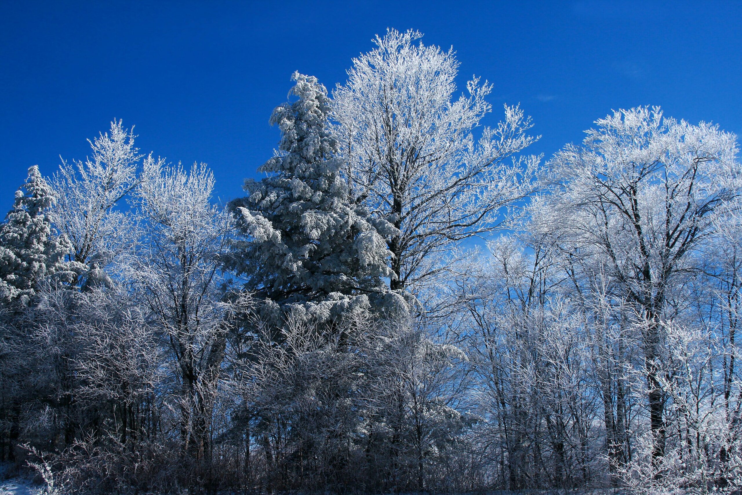
The highest elevations of the southern Appalachians will see the first snow bands fire up Saturday night. As is typical, the worst of the snow will train over the areas with the coldest air, including portions of western North Carolina, eastern Tennessee, western Virginia, and up through southeastern West Virginia. Up to a foot of snow may fall at these locations with locally heavier amounts in the highest terrains over 3,500 feet. This is good news for ski resorts in this part of the U.S. looking for fresh powder heading to the backend of winter.
Communities in the line of fire of several inches of accumulating snow include Asheville, North Carolina and Blacksburg, Virginia. Because the snow is predicted to come down at a fast clip, it will not take long from the onset of precipitation for roads to become dicey.
Be sure to take caution when traveling along portions of highways 26, 40, 64, 77, and 81. In addition to the usual road hazards when it is snowing, the wet makeup of the snow could bring down tree limbs. The worst of the conditions are predicted for late Saturday and through the day Sunday. This may be a good year to stay home and watch the Super Bowl from the comfort of your own home.
Forecasters say that it is difficult to pinpoint the snow that may fall outside of the mountains. This includes a large portion of middle Tennessee into eastern Kentucky. The northern fringes of Georgia, Alabama, and South Carolina may also pick up some snow before it travels into central North Carolina and Virginia.
These lower elevations will most likely see the greatest chance of snow on Saturday afternoon and evening. Light snow may be in the cards for Huntsville, Alabama, Greenville, South Carolina, and Greensboro, North Carolina. The northern suburbs may also see a few rare snow flurries. This light snow could spread east to areas such as Richmond, Virginia and the suburbs of Washington, D.C. by late Sunday. Be sure to check the roads before heading out on your Monday morning commute in this region.
What About the Northeast?
At this point, it looks as if the Northeast will be spared the impacts of the wintry precipitation. However, this does not mean that the region will not see any moisture out of this large storm system. The story for the weekend in this corner of the country is likely to be strong winds that clock in at about 15 to 25 mph on average.
Gusts of near 40 mph are also in the forecast as the storm churns near the Atlantic coastline. This will create the risks of minor beach erosion and rough surf conditions along the coastline stretching from northern North Carolina and southeastern New England. There is also the chance of minor coastal flooding during times of high tide in areas such as the barrier islands of New Jersey.
The rain is also predicted to inch close to major metropolitan areas such as Philadelphia, Boston, and New York City. While significant snowfall accumulation is not likely, you also cannot count out snow mixing in with rain in the overnight hours when the temperature drops or toward the end of the system when colder air moves in.
On the southern edge of the storm system, warm and humid air will provide the fuel for thunderstorms starting Friday and lasting through Saturday. The northern portion of Florida and southern Georgia will be the likely impact zone for this severe weather. Potential impacts include heavy rain, gusty winds, and isolated tornadoes and waterspouts.
Did you find this content useful? Feel free to bookmark or to post to your timeline for reference later.

January 21, 2024

January 19, 2024

January 18, 2024