
Heavy Rain, Flooding, and Chance of Severe Weather Staring Down the Southern U.S.
January 22, 2024
Posted: January 17, 2024 9:40 am


The West Coast is going to be on the receiving end of more storms this week starting with a banger of a weather maker bringing snow, rain, and ice to the region beginning on Tuesday. Here is a look into what types of impacts you should expect this week throughout the western U.S.
Moisture in All Forms Possible This Week for the West
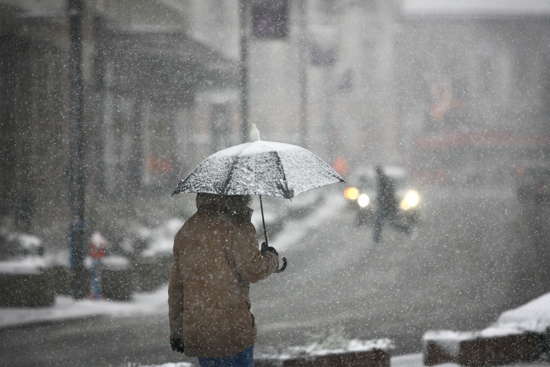
While it has been bitterly cold throughout much of the West to start the new week, there has at least been a break in the parade of storms. That is going to change in the coming hours as the storm machine from the Pacific Ocean fires up once again. Forecasters are predicting that a new storm will move onshore on Tuesday, bringing straight rain to the coastal areas, snow for the mountains, and a line of ice in the middle. Additional systems are on deck for later in the week on the West Coast.
The initial storm this week will track across a large portion of Washington, Oregon, Utah, and Northern California beginning Tuesday. Warmer temperatures along the coast will translate to the precipitation falling as rain on Tuesday.
For instance, Long Beach, Washington is forecast to see partly cloudy skies to start the day with the rain moving in during the afternoon, evening, and overnight hours. Rainfall amounts will hit about a quarter of an inch during the day with another quarter of an inch in the forecast overnight. It will also be breezy with winds out of the east-southeast at 10 to 20 mph. Temperatures will remain moderate, hovering around the 40-degree mark for a high while falling just a few degrees overnight.
It will be even rainier in the coming days in this part of the region with about a half of an inch of rain expected on Wednesday, a quarter of an inch overnight, and up to an inch on Thursday. Temperatures will begin to climb and inch closer to 50 degrees throughout the week.
This moisture will track inland by Wednesday, becoming heavy rain at times and creating the risk of localized flooding. Motorists using routes 12, 20, 26, 30, 101, and 199 will want to be prepared for ponding on roadways and reduced visibility.
The high winds will also be an issue as the storms ignite. Gusts of between 30 and 40 mph are likely up and down the coast of the Northwest and into Northern California. These gusts will whip around in the 30s farther inland in Oregon throughout the latter part of Tuesday.
Potential Ice Storm for Oregon’s Willamette Valley
While the coastal areas will remain warm enough to keep the moisture falling as rain, this will not be the case moving inland and into Oregon’s Willamette Valley. Cities such as Portland, Salem, and Eugene are at risk of experiencing freezing rain and sleet beginning Tuesday afternoon.
The heavily travelled Interstate 5 corridor from Portland to Eugene could become treacherous as the ice builds up by Tuesday afternoon. Forecasters are calling for ice accumulations in Portland to range between 0.10 to 0.25 of an inch from late Tuesday afternoon and through the evening hours. The city is under an ice storm warning beginning at 10 am Tuesday and lasting through 4 am Wednesday.
Highs will struggle to get out of the upper 20s on Tuesday in Portland with overnight lows landing in the same temperature range. It will be breezy with winds out of the east at 10 to 15 mph.
Ice of this magnitude will almost inevitably lead to widespread power outages. As of late Monday, there were still over 80,000 customers in the northwestern corner of Oregon after the weekend’s winter weather maker. The upcoming forecast of more ice will put more stress on crews to get the grids up and running again.
Looking ahead, Portland will see the ice threat decrease on Wednesday thanks to warmer temperatures. Meteorologists are expecting a high of 46 degrees on Wednesday, however, it will still be wet with rainfall amounts of nearly a half of an inch in the forecast. Yet another quarter of an inch is forecast to fall in the overnight hours across the Rose City with no break in the precipitation heading into Thursday.
What to Expect with Snow Out of These Storms
As is usually the case, the higher terrains of the Northwest will see this precipitation in the form of snow. The lower levels of the Cascade Mountains in Washington and Oregon should expect up to a foot of fresh accumulation by Wednesday. The highest peaks will see up to 3 feet of snow by the time the mid-week storm wraps up.
Another storm system is waiting to move into the region at the end of the week, ushering in a repeat of the early week storm. This storm is more likely to track deeper into central and northern California. The ski resorts that dot the landscape of the Sierra Nevada will be the beneficiary of this upcoming weather maker. The snow is also likely to push into some portions of the Rocky Mountains by the weekend with the greatest amount of accumulation forecast for elevations of over 8,000 feet.
Did you find this content useful? Feel free to bookmark or to post to your timeline for reference later.

January 21, 2024

January 19, 2024

January 18, 2024
