
Heavy Rain, Flooding, and Chance of Severe Weather Staring Down the Southern U.S.
January 22, 2024
Posted: October 26, 2023 8:23 am


The first intrusion of Arctic air of the season will make its way into the U.S. this week, bringing along snow and gusty winds to a large portion of the northern Cascades, Rockies, and Plains. Here is what you can expect with this winter weather maker.
Invasion of Arctic Air Triggers Snow Development
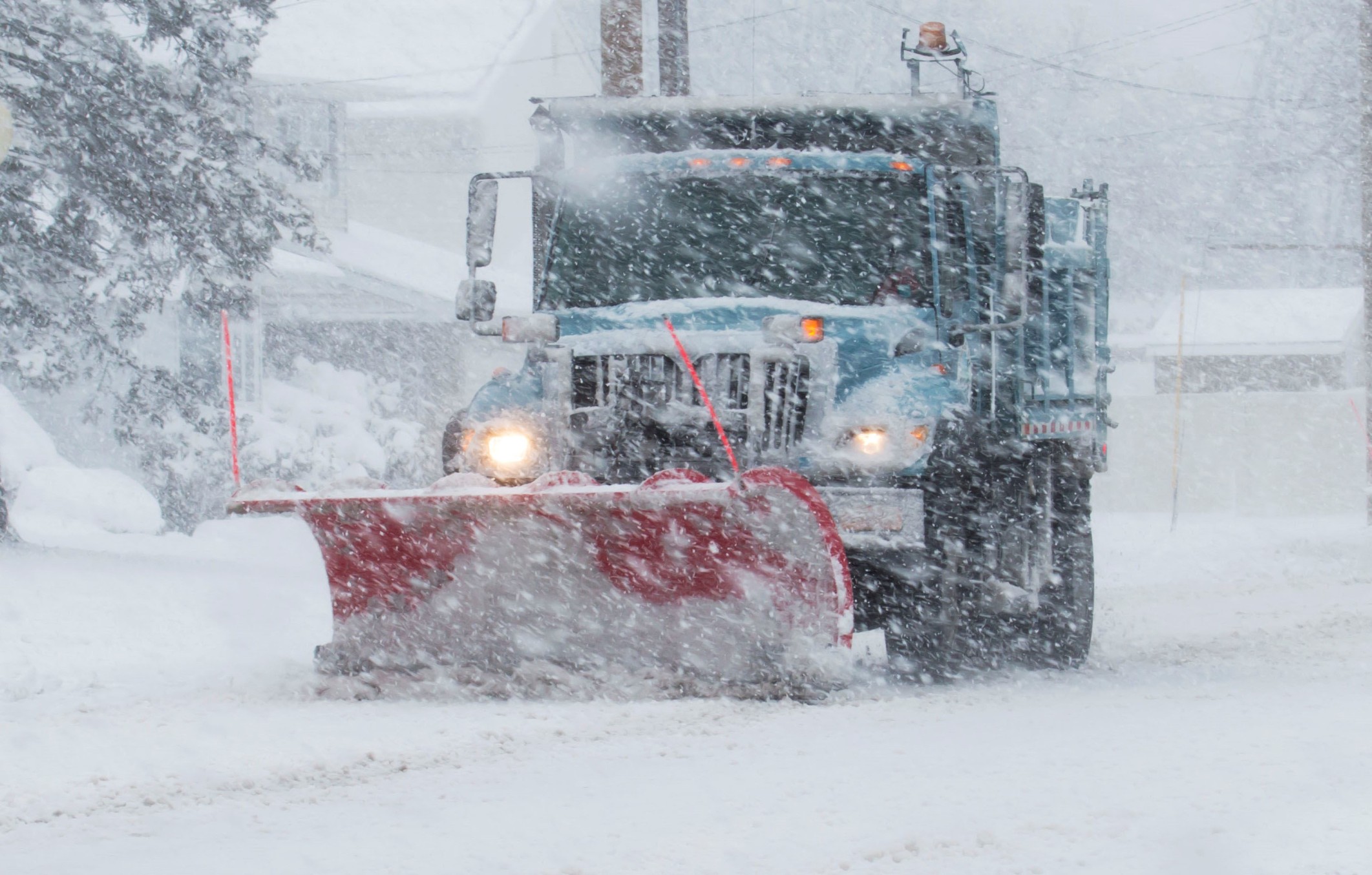
Accumulating snow may reach as far as the Midwest by the end of the week as the mercury drops low enough to support this development. Travel delays will be likely across the Rockies and northern Plains for the remainder of the week as gusty winds create poor visibility on the roadways. The hardest hit areas will include much of Montana and into northern Wyoming and North Dakota.
The weather maker is the result of a mass of Arctic air coming in from the north merging with an influx of moisture from the Gulf of Mexico. This same weather pattern was responsible for significant snowfall and bitterly cold temperatures in Calgary and Edmonton, Alberta to start the week.
The Cascade Mountains will also see moisture coming across from the Pacific Ocean. While this precipitation will fall as rain in western Washington and Oregon, the colder temperatures at the higher terrains will be enough to turn the moisture to snow at just a few thousand feet in elevation.
The low snow levels across the Cascades could present complications for motorists traveling over the passes in Washington and Oregon. Up to a foot of snow is a possibility in the highest terrains by Friday morning.
Moving over the Cascades, a mix of rain and snow is in the forecast for central portions of Washington and Oregon through at least Thursday. Northeastern Oregon’s Blue Mountains will also pick up a few inches of snow by the time this system rolls through.
Two Rounds of Snow in the Forecast
Colder air entrenched across Idaho, Montana, North Dakota, and northern Wyoming will lead to even more snow as low as the valley floors. This snow is forecast to come in two different rounds. The first influx of snow began to fall late Tuesday and early Wednesday with the second round on tap for late Wednesday.
The latter of the two shots of snow will creep over to the south and east, potentially hitting areas such as northern Utah, the northwestern corner of South Dakota, northern Wyoming, and the northern edge of Minnesota. The zone that experiences both rounds of snow could pick up over a foot of snow.
The falling temperatures will feel even more dramatic when compared to the unseasonable warmth of last week. The mercury could drop to below zero in some parts of the Rockies and northern Plains on Friday night and into Saturday morning. Lows will bottom out in the 20s and the teens in the Cascades and over into the western slopes of the Rockies. Forecasters caution that the gusty winds will translate to real feel readings landing about 10 to 15 degrees lower.
There is also the chance that some of these temperatures could flirt with record lows. While this is a part of the country that tends to see Arctic air this time of the year, there is still an outside shot that some records may fall in areas that dip below freezing.
Potential of Blizzard Conditions?
The winds and snow are not expected to produce an all-out blizzard this week, however, there still may be the possibility of blowing and drifting snow with this storm system. Do not be surprised if some roads across Montana and North Dakota are forced to close at times because of the blizzard-like conditions.
The intrusion of rapidly falling temperatures will also cause the first round of wet and slushy snow to freeze over. This will be another concern for motorists through the end of the week. Lastly, the bitterly cold temperatures may also threaten the health of livestock.
More Snow for the Weekend?
The weekend may bring in more snow as the cold air continues to infiltrate farther to the south and east in the coming days. Denver may be in the line of fire for the white stuff. While it may seem early in the season for accumulating snow, the Mile High City typically sees about 5 inches of snow in the month of October.
This weekend snow could push into southeastern Wyoming and across into the central Plains. The southern fringe of Wisconsin, Minnesota, and Michigan may also see their first snowfall of the season. Sleet and freezing rain is also a possibility in the area just south of the snow development.
Lake-effect snow could be the story for next week in the Great Lakes region as this weather maker moves to the east. You will want to keep tabs on this forecast if you live in this region.
Did you find this content useful? Feel free to bookmark or to post to your timeline for reference later.

January 21, 2024

January 19, 2024

January 18, 2024
