Heavy Rain, Flooding, and Chance of Severe Weather Staring Down the Southern U.S.
January 22, 2024
Posted: March 16, 2021 9:55 am


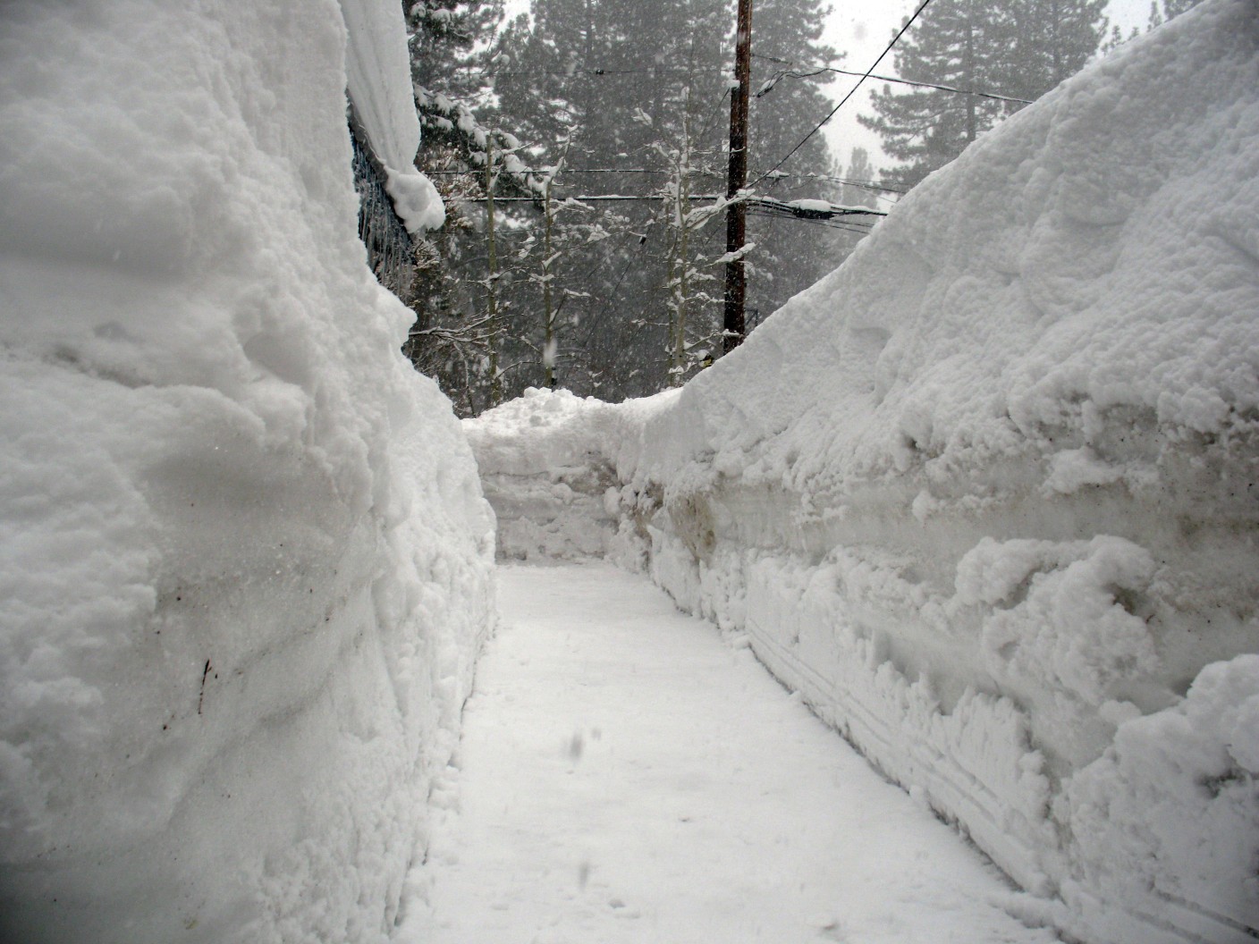
The snow storm certainly lived up to the hype. While it was a little late in arriving based on what forecasters had predicted, the storm did not disappoint when it came to quantity.
Denver Metro Area Digging Out: Over 27 inches of fresh snow had been recorded at Denver International Airport (DIA) on Monday when the storm was winding down. This figure gives the storm the distinction of being the city’s fourth-heaviest snowstorm since 1881. While residents spent the day Monday shoveling sidewalks and trying to dig out vehicles, over 15,000 customers remained without power throughout the state. The bulk of the power outages were centered in Weld and Larimer counties, located just to the north of Denver. At the peak of the storm, over 54,000 customers were without power on Sunday.
DIA Forced to Cancel Flights: Although airlines tried valiantly to try to get as many flights out as possible, DIA was eventually forced to cancel thousands of flights over the weekend. By Sunday, the airport had to close all runways because the snow was falling at too fast of a clip to continue clearing them. Colorado Gov. Jared Polis closed all state government offices throughout the Denver metro area on Monday because of the treacherous travel conditions.
Snow Totals From Around the Region: While the Front Range of the eastern slope of the Rockies saw the most snowfall, the mountains also received a considerable amount of fresh powder. The foothills of the Boulder area saw about 12 inches of snow by Monday morning. Up in the mountains, Aspen Springs saw 40 inches of new snowfall. There is no doubt that the ski resorts will be rejoicing in this late winter storm, potentially keeping the runs open longer than usual.
Colorado was not the only state to be pounded by the snow. Just to the north of Colorado, Cheyenne, Wyoming saw about 36 inches of snow, breaking a two-day total snowfall record of 25.2 inches, set back in 1979. More than 50 inches was recorded in Windy Peak, Wyoming.
Over in the western portion of Nebraska, 19 inches fell near Gering. This snow caused the closure of Interstate 80 for a time.
Storm System Pushing to the East: As the day progressed Monday, the storm started to move out of Colorado. Cities now in its path include Minneapolis and Chicago. The snow will move quickly through the Upper Midwest, clearing out by Tuesday.
The system will bring severe weather to other parts of the Midwest. A portion of Kansas City, Kansas, was put under a tornado warning on Monday afternoon as severe weather spawned a funnel near Spring Hill.
Early morning Tuesday, the storm continues its trek to the southeast before stalling out over the Southern states. This will lead to the potential of downpours stretching from Louisiana all the way to the Carolinas. In addition to heavy rain, those in its path should expect gusty winds and the threat of flash flooding.

January 21, 2024

January 19, 2024

January 18, 2024