
Heavy Rain, Flooding, and Chance of Severe Weather Staring Down the Southern U.S.
January 22, 2024
Posted: December 21, 2021 8:41 am


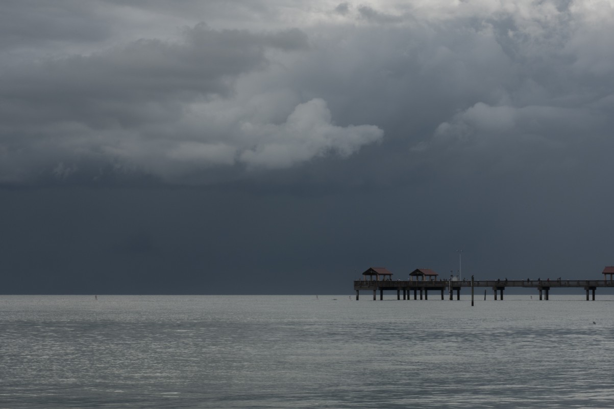
Travelers heading to the Sunshine State to kick off the holiday week may be disappointed when they arrive. Severe weather is going to be the story for Tuesday throughout Florida and well up into the Southeast.
A wide swath of heavy rainfall began to set into the Southeast by late Monday with the rain and the potential of severe weather forecast to continue until the early Wednesday hours. While this is good news for a region of the US that is dealing with drought conditions as of late, the rain may not be welcome for tourists heading south to find warmth and sunshine in the days leading up to the holidays.
Forecasters are still determining what areas will be hit the hardest with this storm track, but it would appear that Florida will see the most intense rainfall and thunderstorms. Southern Georgia, the lowlands and coastal areas of South Carolina, and southeastern North Carolina also appear to be in the bullseye for the heavy rain throughout the day Tuesday.
This region is forecast to see rainfall amounts measuring between 0.50 of an inch to 1 inch of rain with some locally higher amounts. Travelers should be ready for widespread delays, particularly if this system triggers severe weather.
A mass of dry air will serve as a rainfall shield limiting what falls near Interstate 85 and farther to the west and the north of this busy thoroughfare. The storm could expand to these areas if it strengthens in the coming hours.
However, the most likely path shows the system only significantly impacting the Interstates 95 and Interstate 10 corridors. The storm would have to ramp up more quickly if the southern Appalachians and beyond are to see any rain out of this weather maker.
The system is being fueled by moisture from the Gulf of Mexico. The hardest-hit areas of northern Florida and southeastern Georgia may see up to two inches of rain in just 24 hours. This sudden influx of precipitation may trigger urban flooding in some areas.
The warmth and moisture associated with this system will provide the ingredients for the potential of gusty thunderstorms throughout the region. Central and South Florida are most likely to be at risk of severe weather through Tuesday.
If the system produces supercell thunderstorms, there is a possibility of isolated tornadoes in some parts of Florida. The heavy downpours may extend all the way down the peninsula into the Florida Keys. The potential of water spouts may thwart some popular water activities such as boating and swimming as the storms move through.
According to the US Drought Monitor, over 40% of North Carolina and over 20% of South Carolina are under a severe drought designation. For example, Asheville, North Carolina, has only measured about 23% of its average rainfall amount since November 1. The northwestern corner of Georgia and southern Virginia are also experiencing drought conditions.
The situation is not better for some parts of Florida. The Tampa area has only measured 0.02 of an inch of rain since the beginning of December. The normal rainfall amount for this month is 2.56 inches, meaning the city has a lot of catching up to do over the next several days. While this time of the year is generally one of the driest times of the year for Florida, this lack of precipitation is more pronounced than usual.

January 21, 2024

January 19, 2024

January 18, 2024
