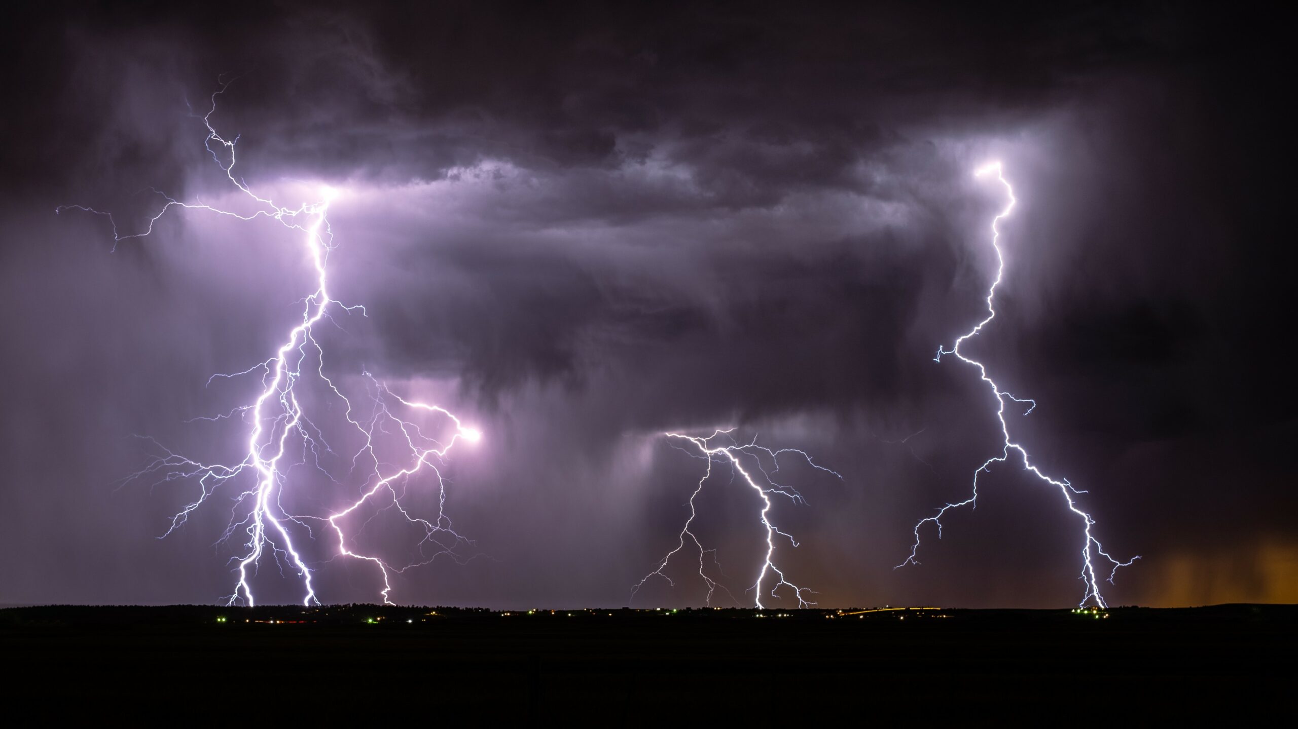
Heavy Rain, Flooding, and Chance of Severe Weather Staring Down the Southern U.S.
January 22, 2024
Posted: November 21, 2023 9:45 am


After a few days of unsettled weather across the South, Tuesday will bring yet another threat of severe storms to the region. Is more promising weather on the horizon? Here is what you can expect for this corner of the U.S. as travel ahead of the Thanksgiving holiday kicks into high gear.
Southern U.S. Has Been the Target of Severe Storms
The stormy action got its start on Sunday as moisture from the Gulf of Mexico clashed with a surge of energy coming from the west. The weather maker intensified further on Monday as it shifted to the east and landed across portions of the lower Mississippi Valley. These storms likely took some residents off guard as it has been months since severe weather has impacted many communities in the region.
While the greater threat of severe weather on Monday came in the form of potential tornadic activity, Tuesday’s threats will primarily be strong winds and heavy rains. This is because of a change in the direction of the system as it moves farther north and away from the warm temperatures that typically fuel tornadoes.
What to Expect on Tuesday
Tuesday’s risks will be focused in an area farther east and north than where Monday’s action spun up. The line of storms on Tuesday is forecast to ignite just ahead of a cold front coming in from the west. The primary impact zone for Tuesday’s severe weather will be in an area from the Florida Panhandle and up into the central portions of South Carolina.
Vacationers hoping to catch some sun in Destin, Florida will be disappointed in the forecast for Tuesday. The popular beach resort town is forecast to see the likelihood of severe storms throughout the day and into the evening hours. It will be breezy with winds out of the southwest at 15 to 25 mph. The cloud cover will keep temperatures suppressed in the mid 70s, however, the humidity levels will make it feel muggy.
This also means that the Atlanta metropolitan area will be in the bullseye of this severe weather. The Peach City will see the greatest risk of storms during the middle of the day. While widespread tornadic activity is not expected with these storm cells, you cannot rule out the chance of an isolated twister. Residents in Atlanta should prepare for afternoon thunderstorms and rainfall amounts of over an inch. Winds will be out of the south at 10 to 20 mph.
The evening hours will be particularly messy for some areas along the Interstate 95 corridor in the Southeast and up into the southern portion of the mid-Atlantic. This possible area of troublesome spots on the road include the cities of Charleston, South Carolina and up through Norfolk, Virginia. Flash flooding, high winds, and isolated tornadoes are all in the cards with this storm system.
The threat of severe weather will begin to clear out by the overnight hours Tuesday. However, some pockets of stormy activity may remain in northeastern Florida and up the coast of Georgia, the Carolinas, and into the southeastern corner of Virginia.
For instance, Wilmington, North Carolina will see a dry start to the day before light rain moves in during the afternoon. By the evening and overnight hours, thunderstorms may make their way into this coastal city. The heavy rain will stick around through Wednesday with Wilmington forecast to pick up about an inch of rain as people set out to run last-minute Thanksgiving errands.
Lack of Severe Weather Has Translated to Growing Drought
While it has been nice for the residents of the south-central and southeastern portions of the country to have a break from severe weather the last few months, the lack of moisture has translated to growing drought conditions across the region.
This is the time of the year when storms often make a resurgence after going dormant in the late summer. However, this fall has been atypically quiet with any storms that have come to life being relatively weak or lacking in significant moisture.
Did you find this content useful? Feel free to bookmark or to post to your timeline for reference later.

January 21, 2024

January 19, 2024

January 18, 2024