Heavy Rain, Flooding, and Chance of Severe Weather Staring Down the Southern U.S.
January 22, 2024
Posted: June 16, 2023 8:38 am


Meteorologists are putting a large swath of the country from the Great Plains into the Southeast on alert for the possibility of derecho events in the coming days. What is a derecho and why do they pose danger? Read on for more details.
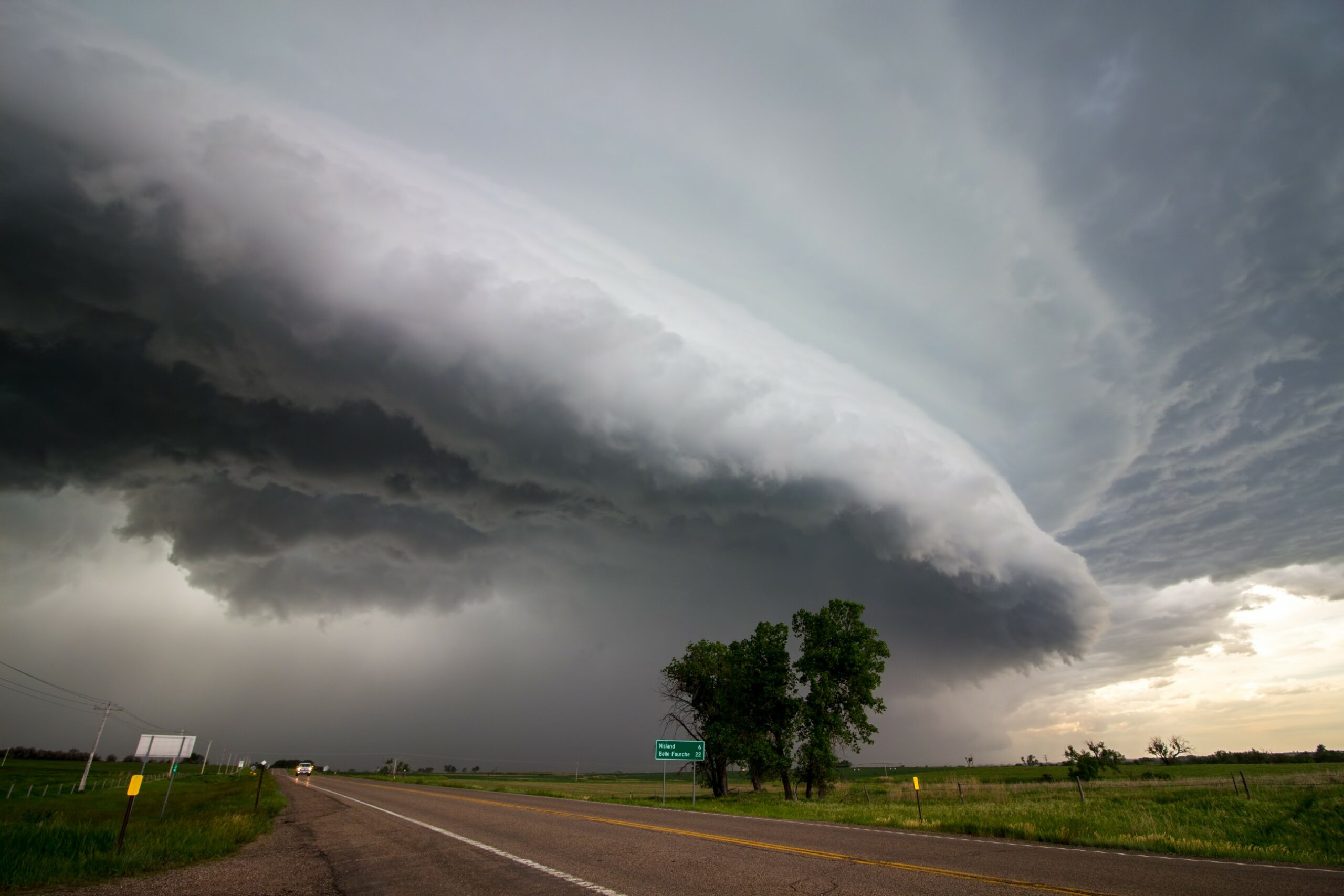
Derechos are long-lived and massive thunderstorms that have a tendency to move at high speeds for hundreds of miles. A derecho is distinguished by its straight-line wind gusts that can cause substantial damage as they race across land.
The National Weather Service (NWS) Storm Prediction Center (SPC) defines a derecho as a storm that stretches continuously or intermittently for over 400 miles. The feature must also have a width of at least 60 miles to qualify as a derecho.
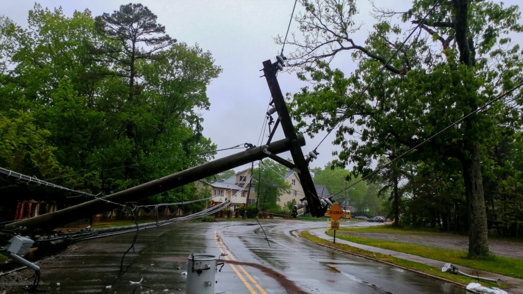
Even if a defined derecho does not impact the region in the coming days, forecasters have a high degree of confidence that there is a good potential of high winds that put lives and property at risk. The derecho event causes damage similar to a hurricane, disrupting travel, ripping roofs off of homes, knocking out power, and more.
In addition to the heat dome that is building over Texas, the derechos will also be fueled by a potent jet stream that is in place over the region. Disturbances firing up in this jet stream will trigger thunderstorm development that is likely to form at the northern edge of the heat dome.
These storms are predicted to ignite over and over, supporting the development of potential derechos.
The risk of these intense storms will be fueled further by the exceptionally humid air that is coming up from the Gulf of Mexico. Combined with the heat, the moist air will find plenty of support to grow and intensify into storms.
The same threat that impacted parts of western Kansas and Oklahoma on Thursday will move to the east and the south by late Friday, bringing the central Gulf Coast into the potential impact zone.
These storm cells will pack a host of hazards, including high winds, large hail, dangerous lightning strikes, and flash flooding. Top wind gusts could hit as high as 100 mph. You also cannot rule out the chance of isolated tornadic activity with storms of this nature.

The threat of derechos will again be an issue for the central and southern Plains beginning Saturday. Meteorologists are warning that the storms on Saturday could be the most powerful of the last several days.
The timing and exact location of Saturday’s activity will be impacted by a disturbance expected to come down from the Rocky Mountains just prior.
By Sunday, the severe weather will move into the Southeast at a fast clip. You will want to keep an eye on this developing situation and have a plan to take shelter if you live in this corner of the country.
Forecasters caution that some of these storms may come on suddenly in the overnight hours, raising the danger that residents are caught off guard as they sleep.
Looking ahead to early next week, there may be some relief on the horizon. The current forecast is predicting a brief lull in the active weather pattern despite the heat dome remaining in position over the central U.S. A lack of energy coming down from the Rockies will help to tame the fiery weather.
The most likely area for storms to form to start the work week will be over the Southeast, including portions of Alabama, Mississippi, and Georgia. Parts of Florida may also be affected by this line of storms.
Heavy rainfall is likely to be the biggest impact of this week’s pattern with up to 6 – 12 inches of rain a possibility. This amount of rain will inevitably create a risk of flash flooding.
The chance of storms throughout the central and southern Plains will increase again by the middle of next week as a potent weather maker from the Northwest slides down to the southeast and into the Plains states. The long-range forecast is predicting more long-lived thunderstorm cells in the coming weeks as the conditions for this development remain in place.
Did you find this content useful? Feel free to bookmark or to post to your timeline for reference later.

January 21, 2024

January 19, 2024

January 18, 2024