Heavy Rain, Flooding, and Chance of Severe Weather Staring Down the Southern U.S.
January 22, 2024
Posted: February 22, 2023 12:12 pm


Stormy Pattern to Continue into March for West Coast
A powerful storm system that is bringing snow and ice to a large portion of the northern U.S. will use its leftover energy to send rain and snow into California on Wednesday. This storm will serve as an appetizer for an even bigger weather maker to impact the Golden State by the end of the week. Read on for what you can expect out of this dynamic storm system.
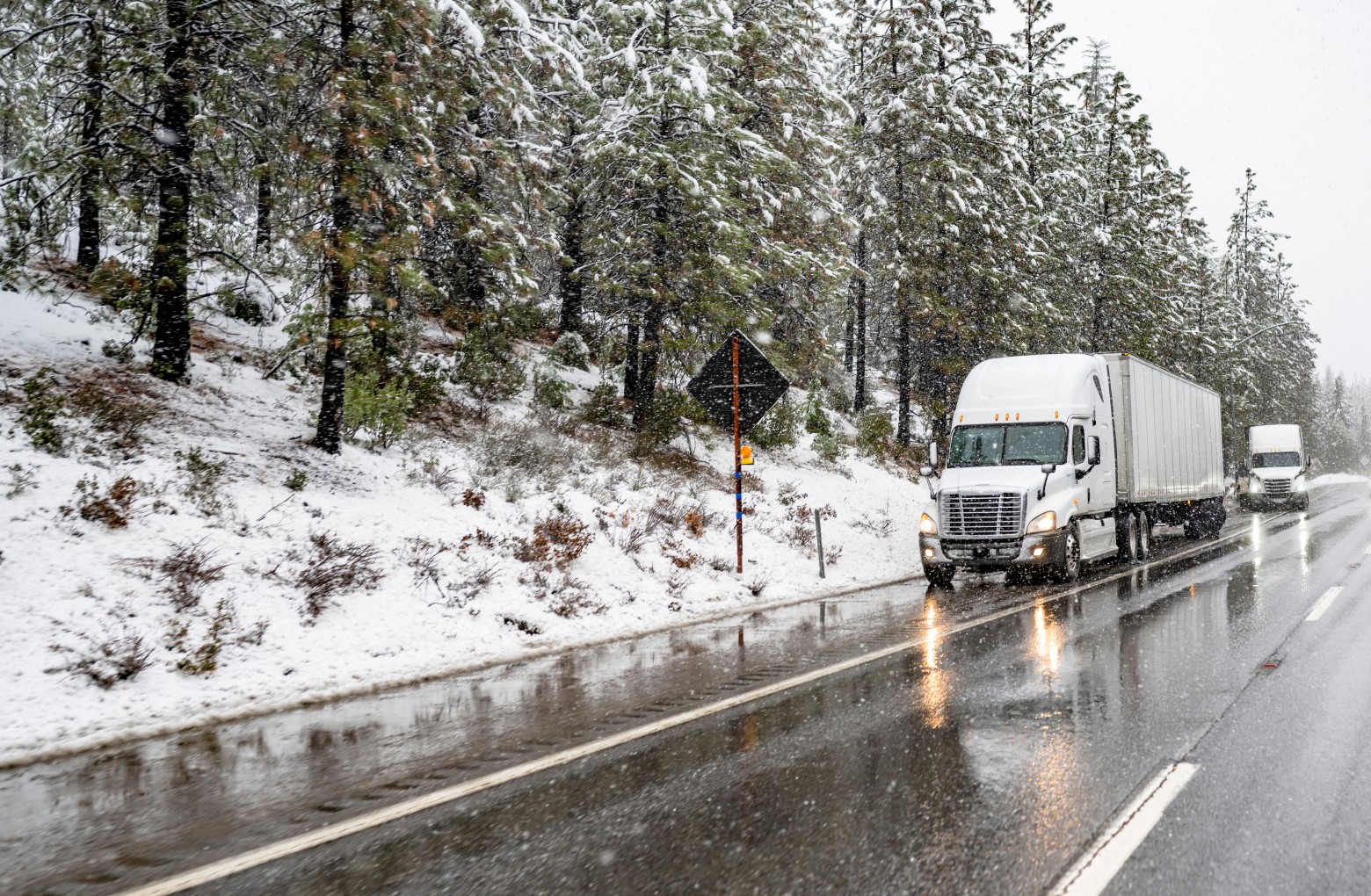
Wednesday will bring another day of intermittent rain showers in the lower elevations of California with snow falling in the mountains. Slippery roads may be a concern over some of the mountain passes, particularly in Southern California.
The next storm will start to impact the region late Wednesday in Northern California and early Thursday in Southern California. People along the south and west-facing lower slopes of Southern California’s Coast Ranges should be prepared for several inches of rain. The heaviest of the rains will fall late Thursday through late Friday.
While the torrential rains are forecast to steer clear of Los Angeles and San Diego, both cities will get a substantial amount of moisture out of this system. For instance, the rain may be enough to provide a month’s worth of precipitation to the region. This amount of rain will translate to travel disruptions and a high risk of urban and flash flooding. Mudslides and other debris flows may also be an issue.
The arrival of much cold temperatures will translate to lower snow levels with this storm. The snow level may fall as low as 2,000 feet on Thursday through Saturday. Snow that falls in the range of 2,000 to 3,500 feet is typically wet and heavy. This consistency is more likely to bring down trees, creating widespread power outages in Southern California. Heading up to about 4,000 feet and higher in elevation, you will find snowfall measuring 1 – 2 feet.
Forecasters are predicting several feet of snow over the Grapevine, necessitating that some passes have to close periodically on Thursday through Saturday. This includes potential closures of Tejon Pass on Interstate 5 as well as Interstate 15’s Cajon Pass.
Snow will not be the only factor complicating travel over this time period in Southern California. High water may pool around Los Angeles and San Diego, forcing the closure of some low-lying roads.
The heavy rain could also impact air travel. Be sure to check with your airline before heading to the airport in the coming days.
Although Southern California will bear the brunt of this storm’s moisture, Northern California will also get in on some of the action. Snow levels may fall to about 1,500 feet across Central California. Falling temperatures late Thursday and into Friday may trigger snow and rain mixed in the hills of this region.
The Sierra Nevada will dodge the bulk of the heavy snow. However, several new inches of accumulation are still possible along Interstate 80 on Thursday and Friday. As always, take a look at current road conditions before heading up over the mountains.
The Desert Southwest will see a soaking rain out of this same storm system. It will be a wet few days in normally sunny cities such as Las Vegas and Phoenix. Both of these areas may see urban flooding over the weekend as the moisture continues to fall.
These storms impacting the West will bring a tumultuous week of weather across the county to a close. The massive snow storm that hit the northern U.S. is continuing to cause travel headaches for an area stretching from the Cascades in Washington and Oregon, through the Rockies, and out to New England.
The southern side of this storm in the Four Corners region is dealing with strong winds and blowing dust. Local officials in parts of Colorado and New Mexico are warning about the possibility of vehicle rollovers and power outages through Wednesday evening.
February is forecast to go out with a bang with more storms predicted to move in from the Pacific Ocean. A new series of storms is expected to move down the Pacific coastal areas next week. Northern California will begin to see the impacts of this particular storm on Monday or Tuesday. The system will continue to move to the south throughout the week.
The wet pattern is good news for the state of California’s persistent drought issues. A wetter than average winter has been a boon to the drought conditions in the region. However, the West Coast is still dealing with some pockets of severe drought, according to the most recent data from the U.S. Drought Monitor.
Did you find this content useful? Feel free to bookmark or to post to your timeline for reference later.

January 21, 2024

January 19, 2024

January 18, 2024