Heavy Rain, Flooding, and Chance of Severe Weather Staring Down the Southern U.S.
January 22, 2024
Posted: February 24, 2023 12:15 am


A significant storm is brewing off the West Coast, gearing up to be the most serious weather maker of the winter for Southern California. Here is what you need to know as the major storm inches closer to the Golden State.
Spinning just off the Oregon coastline on Wednesday, the storm has already shown its ugly side in the Portland area as it dumped heavy snow across the city. Portland recorded over 10 inches of snow out of this system, shattering the historical average of 6.1 inches for the entire winter season in just one day.
The system is continuing its journey southward, bringing snow to coastal areas of Northern California on Thursday morning. The massive storm is predicted to bring in more moisture as it moves to the south. Paired with the unseasonably cold temperatures that are already in place, the storm will bring snow to lower elevations not accustomed to seeing this type of precipitation.
The worst of the storm is forecast to hit on Friday, ushering in heavy rain, snow, and the potential of blizzard conditions in the mountains that surround the Los Angeles area. Temperatures will also be cold enough in the San Francisco Bay Area that the region may see a wet snow fall in the foothills of this part of the state. The central portions of California will see snow that falls as low as 1,000 feet. Because of the wet nature of the snow, there is a good chance of power outages at the hands of fallen tree branches and power lines.
While Northern California will be spared the worst of the impacts, Southern California will not be as lucky. The roughest conditions will happen in the area south of Point Conception. The intense energy associated with this storm will clash with a good amount of subtropical moisture coming up from the Pacific to usher in heavy rain and snow throughout the southern half of the state.
Forecasters have had their eyes on this storm since last week. The National Weather Service (NWS) in Los Angeles took the rare step of issuing a blizzard warning for the mountains located north and northeast of the metropolitan area. This is the first blizzard warning for this part of the state since 1989, speaking to the rarity of this type of weather event.
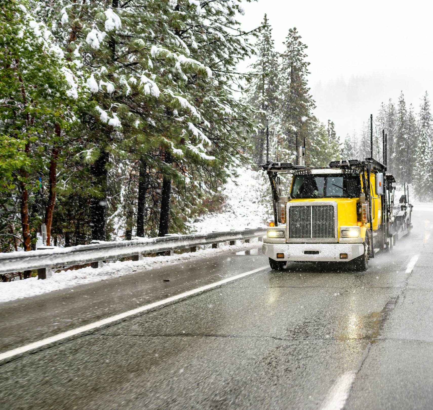
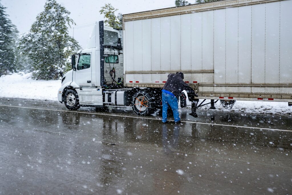
Motorists traveling along the Grapevine will want to practice extra caution in the coming hours. Both Tejon Pass on Interstate 5 and Cajon Pass on Interstate 15 are predicted to see 1 – 2 feet of snow. Combined with the wind, this will create blizzard conditions and extremely hazardous travel.
The worst impacts of the storm are predicted to happen late Friday and into Saturday. In addition to heavy snow in the foothills surrounding Los Angeles and San Diego, torrential downpours may create standing high water and debris flows. Air travel is also likely to be severely impacted in the central and southern portions of the state. With Los Angeles International Airport serving as a major hub, many flights across the country may see the ripple effects of this adverse weather.

The West Coast is no stranger to the fire hose effect of moisture that will take aim at Southern California on Friday and Saturday. You can expect rainfall rates of up to 0.50 of an inch to 1 inch per hour in the coastal areas. This is also the same time frame that the snow will fall at the fastest clip in the higher terrains.
How much moisture can you expect? A general 2 – 4 inches of rain is in the forecast for much of Southern California with about 4 – 8 inches in the foothills located north of Los Angeles. This storm system is also forecast to create significant amounts of beach erosion through the weekend as conditions worsen along the coast.
Right on the heels of this late week storm, forecasters are predicting another series of weather makers to drop to the south along the West Coast. The Pacific Northwest will see this moisture starting this weekend before it heads into California by the beginning of next week. Be sure to stay tuned to the developing forecast if you live in this part of the country.
The state of California and much of the West is currently undergoing a reversal in the drought thanks to a parade of winter storms that have built up the snowpack and filled area reservoirs. There is the chance that some parts of the West will drop out of the drought designation in the coming weeks. More rain and snow is the long-range forecast for this part of the U.S. though the middle of March.
Did you find this content useful? Feel free to bookmark or to post to your timeline for reference later.

January 21, 2024

January 19, 2024

January 18, 2024