Heavy Rain, Flooding, and Chance of Severe Weather Staring Down the Southern U.S.
January 22, 2024
Posted: March 13, 2023 10:50 am


A nor’easter is brewing for the Northeast, reminding residents that winter is far from over. The potent storm will continue its path up the mid-Atlantic coast in the coming days as a system moving through the Upper Midwest to end the weekend will meet with energy coming up from the Southeast. Here is what you need to know about the potential of this powerful storm.
The front edge of this weather maker is forecast to move northward up the Atlantic coastline on Monday and Tuesday, picking up more energy as it moves into the coastal portion of New England. This is when the system will potentially turn into a bomb cyclone, ushering in strong winds and significant snowfall.
A bomb cyclone is a storm that undergoes the process known as bombogenesis, defined as the pressure dropping 0.71 of an inch of mercury in a period of 24 hours or less. This sudden drop in pressure triggers a vacuum effect that creates strong winds. Winds in the range of 40 – 50 mph will form in parts of the Appalachians, northern Virginia, Maryland, and through portions of Pennsylvania and New York state. These winds will eventually move into New England.
Gusts as high as 60 mph will be a possibility across the spine of the Appalachians and into New York. The strongest winds will eventually reach Atlantic Canada should this storm reach its full potential.
Parts of Connecticut, Rhode Island, Massachusetts, and the coastal areas of Maine will be the most likely areas to experience widespread power outages. The winds will also pair with the snow to create near-blizzard conditions. You can expect the winds to build steadily throughout the day on Monday before peaking on Tuesday.
Snow will fall on Monday across the Great Lakes and into the higher elevations of West Virginia, Virginia, New York, and Pennsylvania. This snow will mix with rain in the southern fringes of the storm system, including the bottom part of Indiana and Ohio, West Virginia, southeastern Pennsylvania, Washington, D.C., and into the bulk of New Jersey.
As is typical with nor’easters, coastal flooding will be a problem to watch out for as high tides climb up to 3 feet above average for this time of the year. The most likely time frame for this flooding will be during high tide on Monday and Tuesday.
The heaviest snow is expected overnight Monday into Tuesday in southern portions of New England and up through Maine. Snow may fall at a clip of 2 – 3 inches per hour in the top elevations of the Adirondacks, Catskills, Berkshires, and Green and White Mountain ranges. Up to 3 feet of snow is possible in the mountainous terrain.
Snow this late in the year tends to be wet and heavy, increasing the risk of power outages. The greatest number of outages will likely occur in southern New England and coastal areas of Massachusetts and Maine. However, the interior Northeast will also face regional power outages.
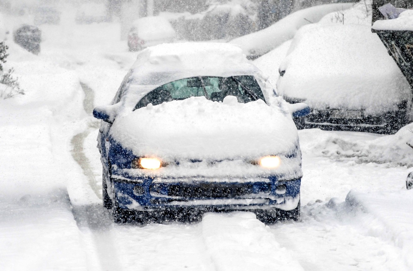
While a widespread blizzard is not expected with this particular nor’easter, the combination of the strong winds and heavy snow in New England will present significant visibility issues. Blowing and drifting snow will also be a problem in portions of northern Massachusetts and into New Hampshire.
Commuters will want to take care on Tuesday morning when heading out on the roads in southern New England and through the Great Lakes and interior Northeast. The roads will get progressively worse headed northward throughout the day on Tuesday.
This storm will undoubtedly trigger a host of travel disruptions in the air and on the roads. Travelers flying through Boston and New York City will want to check the status of their flights on Tuesday.
Forecasters are warning that they are still uncertain about the exact track of this storm. Any shift in the movement could bring more impacts to major metropolitan areas such as New York City. This is definitely a storm that you will want to keep a watchful eye on over the next 48 hours if you live anywhere in the mid-Atlantic, the Northeast, or New England.
Did you find this content useful? Feel free to bookmark or to post to your timeline for reference later.

January 21, 2024

January 19, 2024

January 18, 2024