
Heavy Rain, Flooding, and Chance of Severe Weather Staring Down the Southern U.S.
January 22, 2024
Posted: September 12, 2023 10:01 am


You are in luck if you are tired of the heat and dry weather that has distinguished the last few months in the southern Plains. A drastic shift in the weather is in store for this part of the central U.S., bringing in cooler temperatures and meaningful chances of rain. Here is what you need to know.
Significant Shift in Weather for the Southern Plains This Week
After months of being anchored over the region, the heat dome across the southern Plains is finally set to break apart this week. The change in the weather began Monday morning for some parts of the Plains as clouds built up in Kansas, Oklahoma, and northern Texas.
The increase in cloud cover and arrival of moisture will usher in some of the coolest temperatures seen since last May. This will provide a much-needed break for the region’s overly stressed energy grids, particularly for the air conditioning units.
A cold front diving down from Canada is being given the credit for the shift in the weather. Temperatures that have been hovering in the 90s and into the triple digits will be replaced by readings in the 70s. For instance, Oklahoma City will top out in the upper 70s on Tuesday for a high with scattered rain showers putting a damper on the morning commute.
The rain will hold off until later in the week in places to the north, such as Wichita, Kansas. However, more tolerable temperature readings will settle into the city in the south-central portion of the state before the rain arrives.

Rain Will Put Small Dent in Ongoing Drought
The surge of moisture will also help to provide some degree of relief for a part of the nation’s heartland that has been dealing with ongoing drought conditions. However, forecasters are warning that the amount of rain will just put a dent in the drought that has gripped the region for months.
There is also the chance that this influx of moisture will trigger severe storms. The threat of thunderstorms will be the greatest in the zone that is still on the edge of the blistering heat, including the panhandle of Texas and portions of eastern New Mexico. Potential risks of this weather maker include strong winds, large hail, and flash flooding. You will want to stay on top of any developing weather issues if you live in this potential zone of impact this week.
While Tuesday will be mostly dry for the region, another jolt of atmospheric energy coming from the Four Corners area will create additional chances of rain on Wednesday throughout parts of Texas and Oklahoma. This pattern is likely to continue into Thursday.
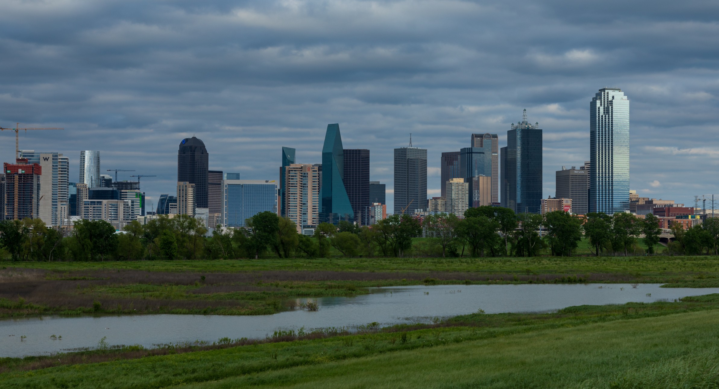
For instance, Dallas residents will breathe a sigh of relief when the rain begins to fall Wednesday morning. The cloud cover will also work to keep high temperatures suppressed in the low 80s through at least Saturday.
Friday will bring more dry weather before the rain machine fires up again over the weekend. This secondary surge of moisture will be at the hands of another cold front moving into the southern Plains late Friday and into Saturday. Be sure to stay tuned to this forecast as it changes in the coming days.
Did you find this content useful? Feel free to bookmark or to post to your timeline for reference later.

January 21, 2024

January 19, 2024

January 18, 2024
