Heavy Rain, Flooding, and Chance of Severe Weather Staring Down the Southern U.S.
January 22, 2024
Posted: November 20, 2023 8:12 am


Much of the southern U.S. is going to be dealing with a soggy start to the holiday week, including the risk of severe weather. Here is what you can expect over the next few days.
Thanksgiving Travel Could Be Impacted by Unsettled Weather Pattern in the South
The rainy weather pattern for the South is part of a large storm system that is threatening the eastern two-thirds of the country in the days leading up to Thanksgiving. While the rain will certainly benefit this drought-stricken region, the storms could present problems for Americans hoping to get an early start on holiday travel.
The stormy weather will be the first threat of severe thunderstorms since earlier in the fall for some communities in the southern Plains and the lower Mississippi Valley. This weather maker got its start last week in the Pacific Ocean, inundating the California coastal areas with rain before it moved to the east. The system is now bringing up moisture from the Gulf of Mexico and as far as the southern Atlantic Ocean, dumping it across the southern Plains and beyond.
While Sunday’s severe weather threat remained contained to a small region of the Plains states, this risk will become more widespread on Monday and Tuesday. In addition to impacting a larger region, the storms will also usher in more severe effects.
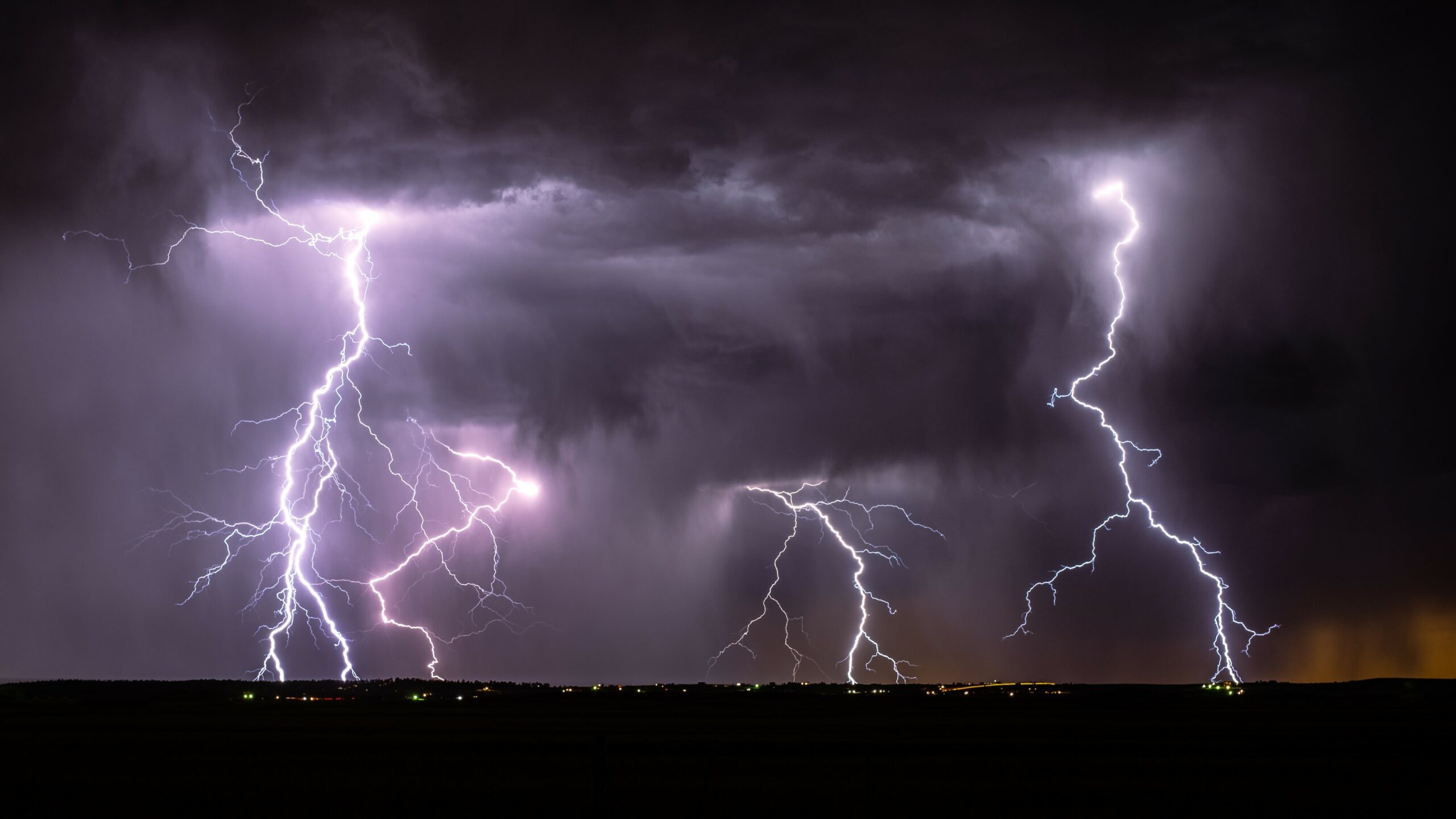
You can expect the risk of severe weather to move from central Oklahoma and into the Arklatex region by late Monday. The lower portions of the Mississippi River Valley will also begin to see the impacts during this time period. Cities that need to be prepared for an onslaught of severe weather hazards include Shreveport and Little Rock. Potential impacts include times of heavy rain, thunder and lightning, and strong winds.
The overnight hours into Tuesday could bring the chance of hail and isolated tornadoes as the storms race to the east. Residents in the potential impact area should enable all smartphone weather alerts as many of these dangers could happen when people are sleeping and not aware of what is going on around them. The area most likely to see severe weather ignite under the cover of darkness includes communities south of Memphis and down into Jackson, Mississippi.
Looking Ahead to Tuesday
The line of storms will continue to journey to the east on Tuesday, impacting cities in the Southeast. Air travel disruptions are likely to impact major hubs in the region, including the busy airport in Atlanta. The domino effect of disruptions could impact flights all over the country during what is typically one of the busiest travel times of the year.
Heavy rain, hail, and gusty winds will stretch as far east as South Carolina and down into the Florida Panhandle through the day Tuesday. Those taking to the roads for holiday travel will want to be aware of the potential of downed trees and power lines in the wake of these potentially potent storms.
The Southeast will not be the only region impacted as these storms push to the east. The Northeast and the Great Lakes will also experience the chance of rain, windy conditions, and even a few isolated pockets of ice and snow by Tuesday.
Although this rain could delay some travel plans ahead of the holiday, the moisture is good news for the southern half of the nation. The latest report from the U.S. Drought Monitor details that almost 75% of Louisiana and 50% of Mississippi are under the designation of an exceptional drought. This is the most severe category assigned by this monitoring agency.
The forecast is calling for rainfall in the range of 1 – 3 inches for this region. Pockets of locally higher amounts are possible with the most severe storms. Even those areas that do not see severe weather will still pick up significant amounts of moisture with this storm system.
Road travelers using interstates 10 and 40 are being advised to exercise caution. Sudden downpours could trigger reduced visibility and the chance of hydroplaning.
Forecasters are predicting that the severe weather threats will come to an end across the South by Thanksgiving Day. However, another potential surge of moisture is lurking in the background that could potentially impact travel home next weekend.
Did you find this content useful? Feel free to bookmark or to post to your timeline for reference later.

January 21, 2024

January 19, 2024

January 18, 2024