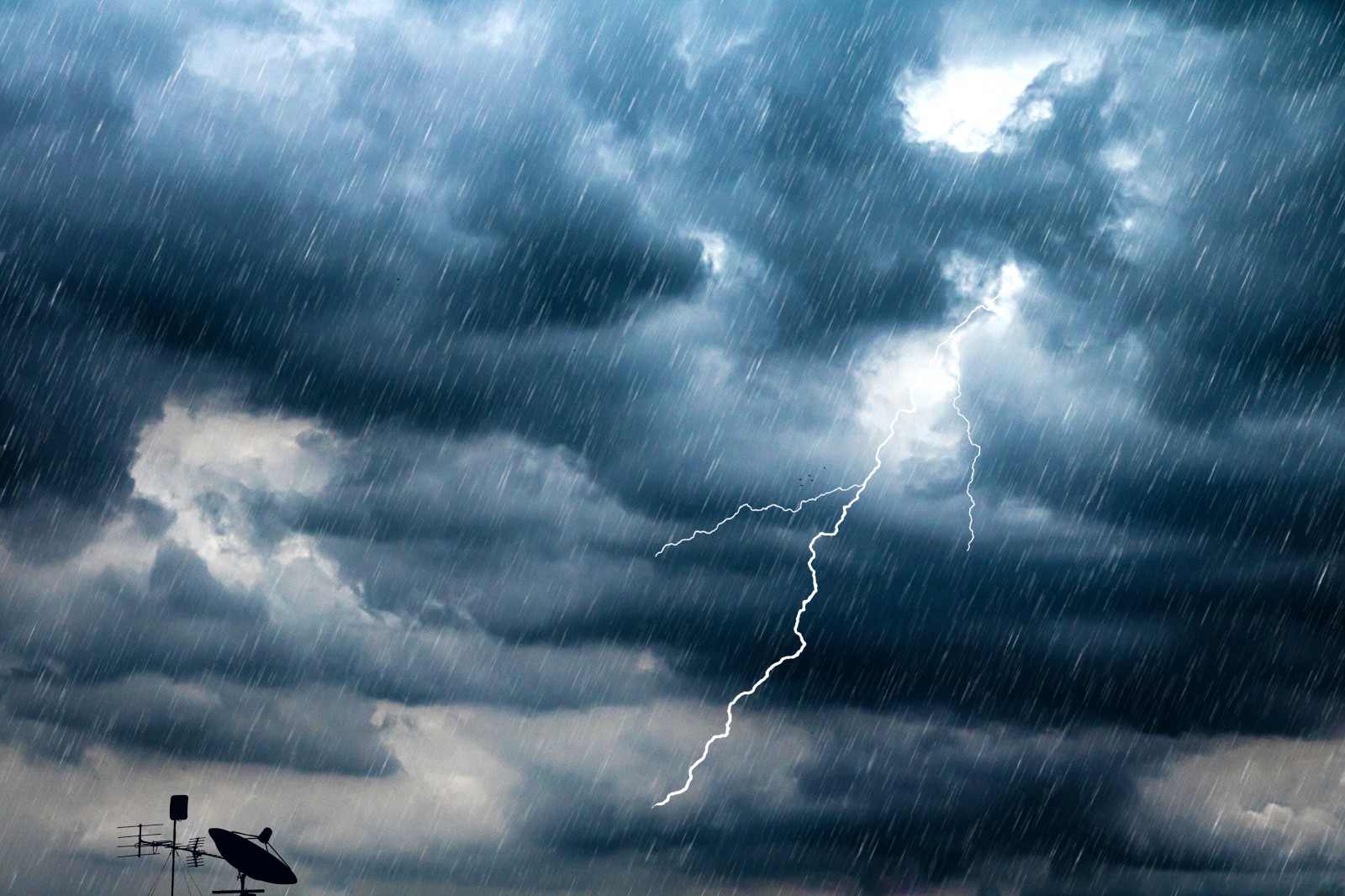
Heavy Rain, Flooding, and Chance of Severe Weather Staring Down the Southern U.S.
January 22, 2024
Posted: April 14, 2023 8:43 am


After a few relatively tranquil days, the threat of severe storms is making a comeback in the central portions of the country. Is your community at risk of seeing these stormy conditions by the end of the week? Here is what you need to know.
The month of April got off to a deadly start for much of the nation’s heartland. According to the Storm Prediction Center (SPC) out of the National Weather Service (NWS), there were over two dozen confirmed tornadoes along with over 450 reports of damaging wind and hail in the first five days of the month. This is far above normal for this time of the year.
As quickly as the severe weather roared in to start the month, the conditions have been calm and quiet over the last several days. In addition to the dry weather, the temperatures have also soared to up to 30 degrees above normal in some areas.
Forecasters are now warning that the trend is about to come to an end with more storms firing up. A storm system pushing down from the Rockies at the end of the week will bring moisture and more unsettled conditions to the central U.S by Friday and Saturday.
The system will also bring down much cooler air down from Canada. The merger of the cooler air with the warm air already in place will provide the impetus for severe weather to develop.
The rain and chance of storms will first unleash in parts of the Dakotas and Nebraska before expanding into Iowa and Minnesota. This will bring even more water to a part of the country that has been experiencing rapid snowmelt this week thanks to the unseasonably warm temperatures.
The greatest threat of storms on Friday afternoon and evening will be in an area stretching from southeastern Nebraska down into the northeastern corner of Oklahoma. This primary impact zone includes the major metropolitan areas of Omaha and Kansas City.
The risk of storms will also expand outward to cities such as Wichita, Des Moines, Oklahoma City, and Dallas. The storms will bring along the usual suspects of heavy rain, large hail, and wind gusts up to 60 mph.
Heavy rainfall at times along with strong winds could complicate travel along some portions of interstates 20, 35, 44, and 70. Be sure to exercise caution when traveling along these roads.
Unfortunately for the worst of the drought-stricken areas of the Plains, the heaviest of the rains with Friday’s event will fall to the east of the areas that need the moisture the most.
According to the latest data from the U.S. Drought Monitor, about half of the state of Kansas is under either an extreme or exceptional level of drought. The situation is not much better in Oklahoma with nearly 40% of the state under either of these designations.
This storm system will continue to march to the east as the weekend progresses. By Saturday, the greatest impacts will be across the Ohio and Mississippi River valleys. Residents in cities such as Chicago and Nashville will want to be on guard for torrential downpours, strong winds, and hail.
Sunday’s threat of severe weather will be focused on the Ohio Valley, the west-facing slopes of the Appalachian Mountains, and up through the eastern portions of the Great Lakes.
The storms will eventually make their way to the Northeast just in time for the new work week. This will bring an end to the summer like conditions that the region has been enjoying for most of this week.
Did you find this content useful? Feel free to bookmark or to post to your timeline for reference later.

January 21, 2024

January 19, 2024

January 18, 2024