
Heavy Rain, Flooding, and Chance of Severe Weather Staring Down the Southern U.S.
January 22, 2024
Posted: October 12, 2023 8:48 am


Although it did not develop into a named tropical feature, the area of low pressure spinning in the Gulf of Mexico is still going to bring drenching rain and gusty winds to the U.S. Gulf Coast with a heavy focus on the state of Florida.
Powerful Gulf Storm Takes Aim at Florida and Beyond
An increasing amount of wind shear in the mid-levels of the atmosphere prevented this feature from taking on tropical characteristics as feared earlier in the week. An influx of cooler air also worked to prevent further organization and strengthening of the system.
However, forecasters are warning that this storm system will pack quite the punch in the coming days for the Gulf Coast, Florida, and the Southeast. The weather maker is forecast to move at a relatively quick pace, helping to mitigate the chances that one particular area sees extreme rainfall. But you can still expect a widespread 2 – 4 inches of rain across portions of southeastern Louisiana, southern Georgia, and into northern Florida. Localized amounts of 4 – 6 inches are also a possibility.
This part of the Gulf Coast has been dealing with an ongoing drought thanks to a dry summer season. The dry ground will be more susceptible to flooding because it will not be able to absorb the incoming mass of moisture as quickly. You can expect the threat of flooding in low-lying areas as a result.
While Texas will avoid the moisture from this storm, there is a chance that a small amount of rain from the remnants of Hurricane Lidia will sneak into the Lone Star State. Lidia came on shore along the west coast of Mexico late Tuesday as a major Category 4 storm. The storm has already weakened significantly as it moves over the higher terrains of Mexico, however, what is left of the system could still wander into southern Texas over the next few days.
A wedge of dry air also parked over the interior portions of the Southeast will likely mitigate the rain that hits farther inland.
Florida Braces for Significant Severe Weather Threats
Florida will bear the brunt of this storm system as it ushers in a heightened risk of thunderstorm activity. The worst of the storms are forecast to hit the Sunshine State through Thursday morning, posing a risk to residents and structures.
Some of the storm cells are expected to spawn tornadoes. These tornadoes could spin up under the cover of darkness, making them even more dangerous. Local officials are warning residents to enable all smartphone notifications before going to bed. As a reminder, a tornado or thunderstorm watch means that these conditions are a possibility while a warming means that the event is imminent or may already be happening.
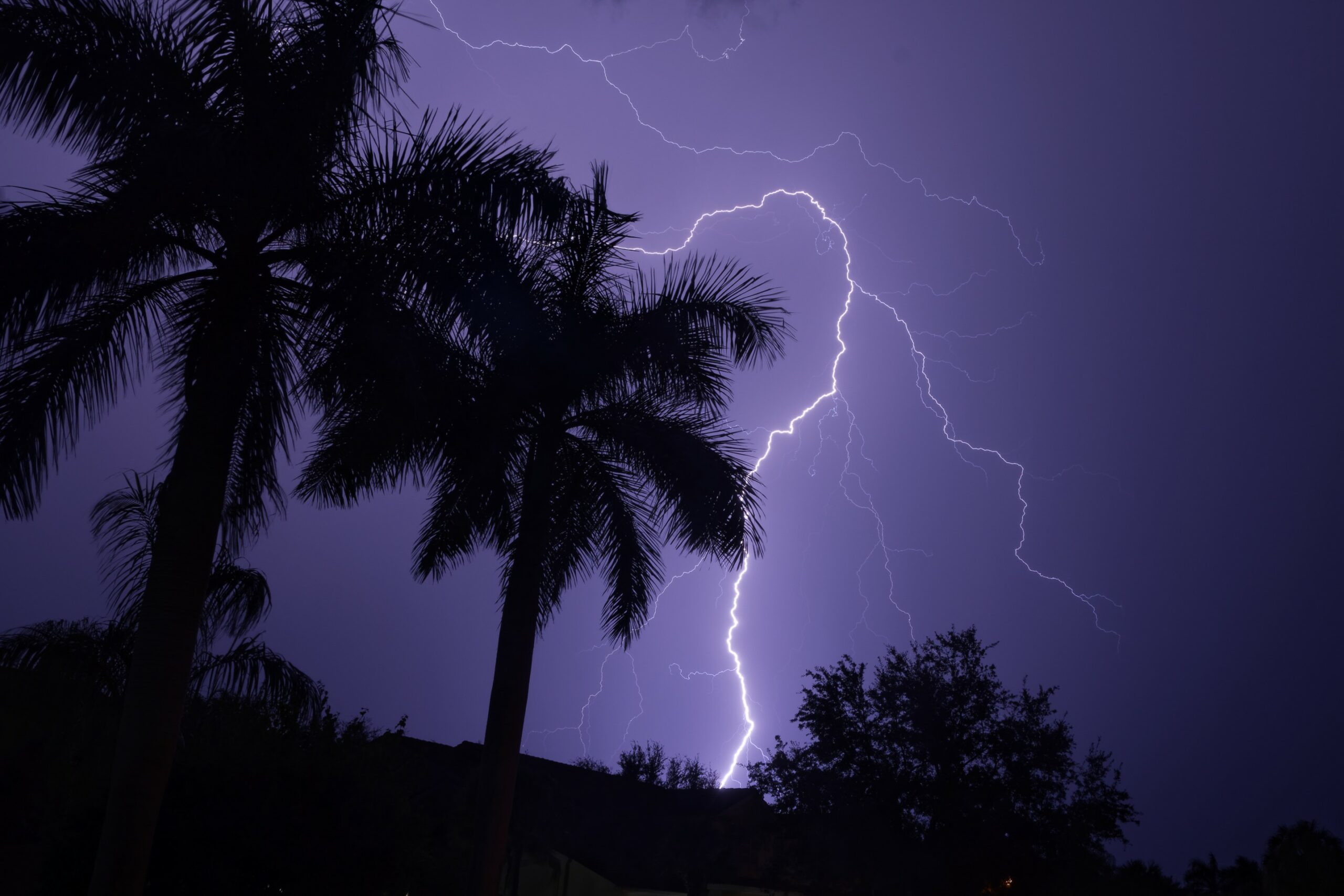
The greatest risk of tornadoes and strong storms will be across the northern and central portions of Florida into Thursday. Other potential impacts include high winds, flash flooding, and frequent lightning strikes. Cities that could see these impacts include Tampa, St. Petersburg, Tallahassee, Orlando, and Jacksonville.
There is also the potential of waterspouts popping up along the Gulf Coast. The southern coast of the Atlantic side may also see these developments as the storm moves in this direction.
This weather maker will likely create travel delays. Severe storms will trigger delays at area airports while the heavy rain could reduce visibility on the roads.
Thursday will bring improving conditions to the region as the storm moves out into the Atlantic Ocean. Florida may continue to see locally strong thunderstorms develop over the peninsula heading into the weekend.
Did you find this content useful? Feel free to bookmark or to post to your timeline for reference later.

January 21, 2024

January 19, 2024

January 18, 2024
