
Heavy Rain, Flooding, and Chance of Severe Weather Staring Down the Southern U.S.
January 22, 2024
Posted: November 1, 2023 8:33 am


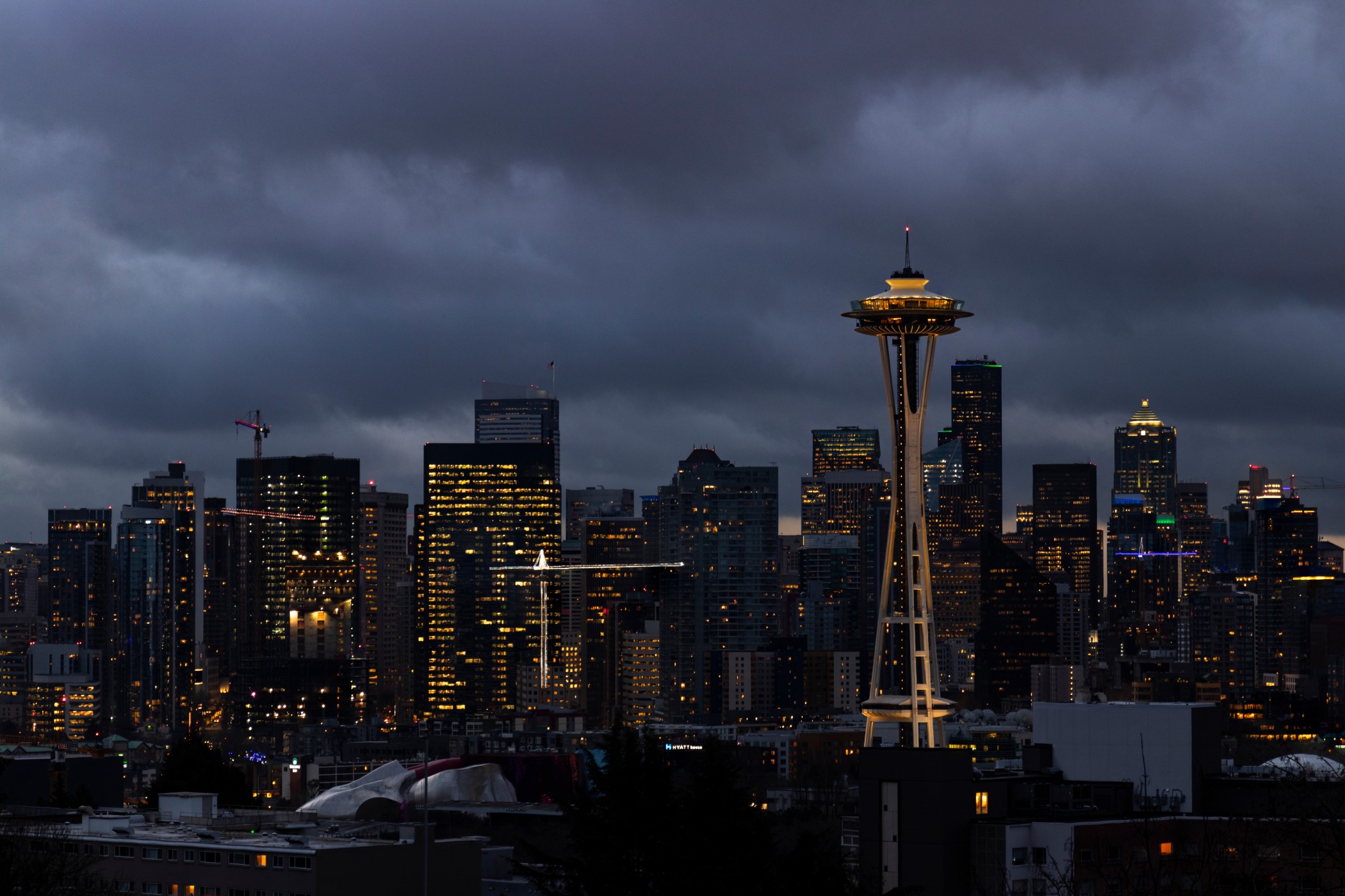
The Pacific Northwest is bracing for a train of storms expected to begin impacting the region as early as Wednesday. These storms will bring substantial moisture and high winds for the next several days. Here is what you need to know if you live in this corner of the country.
Dry Weather Coming to a Screeching Halt in the Northwest
It has been a pleasant stretch of days for much of the Northwest. Trick-or-treaters enjoyed dry conditions and moderate temperatures on Tuesday while the previous weekend provided perfect weather for football games and heading to the pumpkin patch. This pattern is coming to an abrupt halt as a parade of storms begins to push in from the coast.
These storms will usher in a variety of impacts, including strong winds and heavy precipitation just as the calendar flips from October to November. While this weather may seem like a dramatic change from the previous days, it is a pattern that is quite typical heading into the winter months. Meteorologists refer to this pattern as a storm train, in reference to how quickly and with great frequency that the systems roll in from the coast.
Forecasters are predicting that a storm train will push across the Northwest to close out the week. These storms will likely hang around until early next week.
The weather maker will pick up loads of moisture from the Pacific Ocean, dropping several inches of rain in some areas. In addition to the rain, strong wind gusts will also accompany each storm system.
The storm train will be aided by an active jet stream. This river of air steers storms, separating warm air from cold air. The dry weather of last week in the Northwest set up as the result of the jet stream being positioned to the north of the region. However, a southward dip in the jet stream this week will allow more moisture to filter into the area.
Timing and Frequency of Storms
The first storm of the series is expected to move onshore Wednesday. The moisture will hit the inland areas such as Seattle and Portland later in the afternoon and evening. The higher terrains near the coastline could see rainfall amounts up to 5 inches, prompting concerns about stream and river flooding.
Seattle and Portland will see 1 – 2 inches out of this first storm. Thursday morning’s commute could be particularly messy for these cities along the busy Interstate 5 corridor.
The coastal areas of the region are forecast to see wind gusts as high as 50 mph with both the first storm and those that follow. After a brief reprieve late Thursday and early Friday, the next system is predicted to arrive late Friday and into Saturday. This storm will linger into the end of the weekend, putting some outdoor plans into question.
Unlike last week’s storm system that plowed through the Northwest, temperatures are not expected to support the development of snow with this upcoming weather pattern. This is because the moisture coming from the Pacific will also offer up plenty of warmer air, mitigating the chances of snowfall even in the higher terrains.
However, colder air in place over the Rockies could lead to snowfall accumulation in this region by the time the moisture pushes to the east. The highest chance of accumulating snowfall will be across the mountains of Idaho, Montana, and Wyoming.
Looking ahead to next week, you can expect the unsettled weather pattern to hang around through at least Tuesday. The long-range forecast is offering a bit of promise for drier conditions on the horizon but you will want to stay tuned.
Did you find this content useful? Feel free to bookmark or to post to your timeline for reference later.

January 21, 2024

January 19, 2024

January 18, 2024
