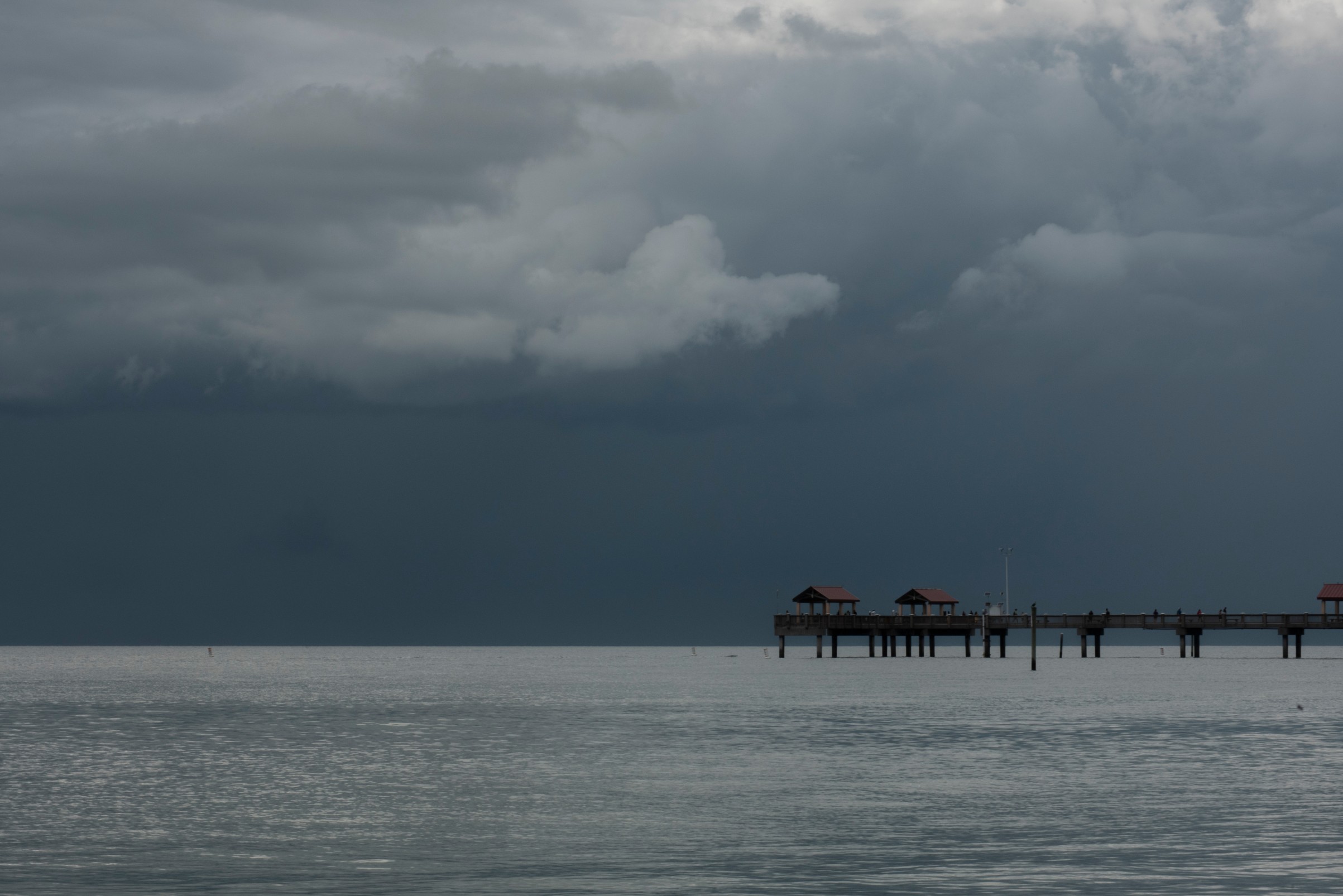
Heavy Rain, Flooding, and Chance of Severe Weather Staring Down the Southern U.S.
January 22, 2024
Posted: January 24, 2023 3:21 pm


A variety of severe weather impacts is firing up across much of the U.S. on Tuesday, bringing everything from tornado threats, torrential rain, gusty winds, and snow. Here is a look at what is unfolding across the country.
About 18 million Americans are now under a winter storm warning in an area stretching from New Mexico into Ohio. Snow began falling in the overnight hours across the Texas Panhandle. Lubbock Preston Smith International Airport woke up to 4.8 inches of snow on Tuesday, according to the National Weather Service (NWS).
Other snowfall totals include Clovis, New Mexico coming in at 8 inches and Erick, Oklahoma recording 7 inches. The snow is forecast to continue through this part of the southern Plains and into northwestern Arkansas throughout the day.

The winter weather is creating treacherous travel conditions in this part of the nation’s heartland. Dozens of accidents and tractor-trailer jackknives have been reported along portions of Interstate 40 near the border of Texas and Oklahoma.
Warmer temperatures on the southern flank of the weather maker is translating to precipitation falling as rain rather than snow. It was heavy rain impacting the morning commute in parts of Texas, Louisiana, and Oklahoma. Torrential rain was reported in cities such as Austin and San Antonio. The rain had moved into areas such as Shreveport, Louisiana by midday.
While Oklahoma City started the day with rain, the moisture began transitioning to snow by the middle of the morning. This line of storms is forecast to move to the east as the day continues, putting additional areas at risk of severe storms.
Sea surface temperatures across the Gulf of Mexico that are trending warmer than normal for this time of the year have been fueling the severe storms as of late. This warm and moist air has served to provide the impetus for a higher than average number of storm outbreaks in the lower Mississippi Valley and beyond. In the case of Tuesday’s storm outbreak, this moisture-rich air is meeting up with a low-pressure system to create the inclement conditions.
The threat of severe storms will continue to move east as night begins to fall on Tuesday. The NWS said that there are about 15 million people near the Gulf Coast that will be at risk of widespread storms on Tuesday night. The storm cells are predicted to bring heavy rain, thunder and lightning, damaging winds, and isolated tornadoes.
Cities that may experience these nocturnal storms include Houston and New Orleans. Forecasters warn that it is more difficult to spot storms under the cover of darkness. This makes it important that residents in the potential area of impact enable smartphone notifications so that they stay aware of any potential threats.
The strong winds will also be a problem with this dynamic weather maker. Over 40 million residents in the Southeast have been put under wind advisories with gusts of 55 – 65 mph in the forecast. A high wind warning is now in effect for a large swath of coastline stretching from east of Houston to Pensacola, Florida. This warning impacts over 5 million people.
In addition, a high wind watch was issued for portions of southwestern Alabama and the eastern edge of Mississippi. Lastly, a wind advisory is in effect for a larger part of the southern U.S., encompassing parts of Texas, Louisiana, Arkansas, Mississippi, Tennessee, Alabama, Georgia, and Florida.
Dangerous Sea Conditions in Parts of the Gulf
It will not be a good day to head out in the Gulf of Mexico along coastal Alabama and the northwest corner of Florida. The NWS office in Mobile issued a “rare storm warning” for this stretch of coastline and the surrounding waters. Gusts of over 50 mph and waves measuring 8 to 11 feet are a possibility. These conditions can create dangerous rip currents and surf through Wednesday night. The area is also under the gun for minor coastal flooding and beach erosion as a result of these impacts. The bottom line is to stay on land until this threat passes.
The storm cells are predicted to continue their journey to the east in the overnight hours Tuesday and into Wednesday. This will put Georgia and the Florida panhandle in the crosshairs of the action. By Wednesday afternoon and evening, the heavy rain is expected to move as far north as the Carolinas.
The storms will shift to the coastal areas of the Carolinas in the overnight Wednesday hours. By the time the storm moves into the Northeast in the latter part of the week, this part of the Southeast can expect to see widespread rain measuring 1 – 3 inches. These storms will bring the threat of damaging winds, torrential rain, and isolated tornadoes, making it important that residents remain alert.
Did you find this content useful? Feel free to bookmark or to post to your timeline for reference later.

January 21, 2024

January 19, 2024

January 18, 2024