Heavy Rain, Flooding, and Chance of Severe Weather Staring Down the Southern U.S.
January 22, 2024
Posted: October 27, 2022 10:22 am


While it was the Pacific Northwest that saw the snow and rain earlier in the week, it is the south-central U.S. that will see the heavy precipitation over the latter part of the week. This potent storm system may also deliver severe weather to this corner of the country by the time that the week is over.
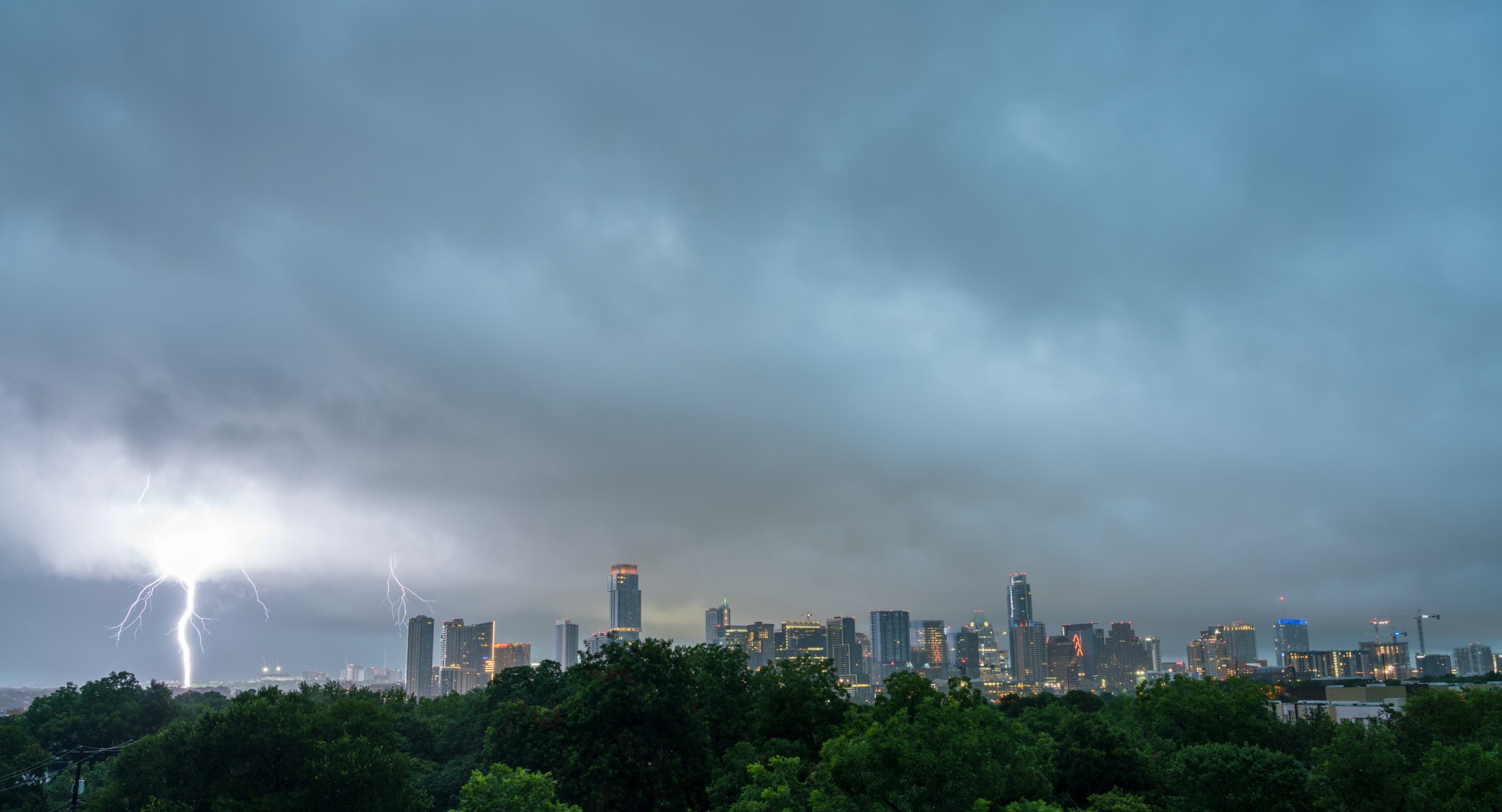
In addition to the torrential rainfall, this system will be packing the threat of dangerous thunderstorms that could trigger flash flooding. The system is moving farther to the south each hour, putting a large portion of the south-central U.S. in the crosshairs. Unlike the storm system that brought moisture to the Midwest and southern Plains earlier in the week, this weather maker will be largely anchored over the South.
The greatest chance of severe weather will fire up late Thursday afternoon and is expected to continue through the overnight hours. The areas most likely to see this activity includes parts of Texas and Oklahoma as the storm cells move down from the Rockies into the southern High Plains.
These storm cells will bring the chance of damaging wind gusts, small hail, and flash flooding. The system is forecast to stay on a journey to the southeast, bringing the impacts to the Gulf Coast stretching from eastern Texas and into the Florida Panhandle on Friday and lasting through the weekend.
Although the weekend’s activity along the Gulf Coast will be sporadic in nature, the storms that do crop up will be capable of destruction. For instance, forecasters warn that the storm cells may trigger tornadoes or waterspouts.
The silver lining of this severe weather is that it is expected to dump a significant amount of moisture across the drought-stricken central Gulf Coast. According to the latest report from the U.S. Drought Monitor, much of this region is under a designation of abnormally dry conditions to a severe drought. The situation is more dire in the southern Plains where the drought data ranges from severe to exceptional.
Meteorologists are predicting that 1 – 2 inches of widespread rain will be the norm from central Texas into Oklahoma. Central and southern Alabama and the western edge of the Florida Panhandle will see amounts measuring between 2 and 4 inches.
The high rate of rainfall may trigger flooding in urban areas. This includes the cities of Dallas, Austin, Houston, and San Antonio, forecast to see heavy rain on Friday.
By Friday night, the heavy rain will be falling in eastern Texas and through New Orleans. Interior portions of Alabama will not see the rain until Saturday night while Atlanta will likely stay dry until Sunday.
Despite the rain impacting the Gulf Coast, the moisture is not likely to bring relief to the parched Mississippi River. The area of the river that needs the precipitation the most is along the northern end. Unfortunately, a mass of dry air anchored over Missouri will keep the rain away from this part of the region.

The Mississippi River has been dealing with historically low water levels over the last several weeks. Barges and other large ships have not been able to traverse the river as a result of the plummeting water levels, leading to widespread supply chain issues.
The largest amount of rain out of this system is forecast to fall into the Red River of the South and the Pearl River in Mississippi. However, the water levels in these rivers do not impact the Mississippi River.
Did you find this content useful? Feel free to bookmark or to post to your timeline for reference later.

January 21, 2024

January 19, 2024

January 18, 2024