
Heavy Rain, Flooding, and Chance of Severe Weather Staring Down the Southern U.S.
January 22, 2024
Posted: November 30, 2022 1:06 pm


Midwest and Northeast Forecast to See Potentially Damaging Winds
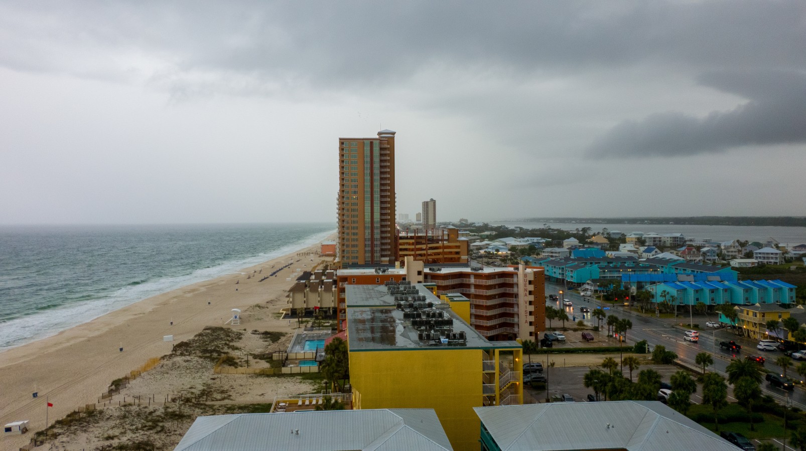
The powerful cold front that triggered a tornadic outbreak across parts of the Mississippi Valley and the Gulf Coast on Tuesday is set to move into the southeastern corner of the country on Wednesday, ushering in a good chance of severe weather.
While the storms are not predicted to be as intense as what parts of the country saw on Tuesday, the weather maker will still deliver inclement conditions to millions of Americans. The widespread storms battering the region on Tuesday are forecast to come together in a more compact zone on Wednesday and move into Alabama, Georgia, and across the Florida Panhandle.
You can expect a number of impacts along this line of storms, including heavy rain and strong winds. Winds are forecast to whip up to 50 mph stretching as far northeast as Charlotte and as far southwest as New Orleans. Although the tornadoes are not expected to pop up with as much frequency as Tuesday’s weather event, you also cannot rule out an isolated twister.
The morning commute could be rough in major metropolitan areas such as Atlanta and New Orleans. Heavy rains could reduce visibility off and on throughout the day while creating standing water on the roadways. The severe weather is expected to reach the Florida line by the early afternoon.
The quickly moving speed of these storms will help to prevent significant amounts of damage. In addition, the timing of the storms to hit earlier in the day will also mitigate the severity of weather that happens during the peak heating hours of the afternoon.
By the time the weather system travels deep into Florida and Georgia, it may be reduced to heavy rain rather than thunderstorms. The primary impact zone will be the southwestern edge of the Southeast, leaving the coastal areas of the Carolinas unlikely to see severe impacts.
The good news is that drier weather is on tap for the Southeast on Thursday. However, the cold air will remain in place through Friday with the mercury expected to start climbing again by the weekend. For instance, the forecast high temperature of 57 degrees on Friday in Atlanta will jump to 67 degrees for Saturday.
It will also be a potentially eventful weather day for parts of the Midwest and Northeast thanks to the forecast of damaging winds. The wide swath of land under the gun for these winds include cities such as Chicago, Minneapolis, Cincinnati, Columbus, Pittsburgh, New York City, Washington, D.C., and Boston, putting millions of Americans at risk of these gusts.
Wind gusts of up to 60 mph are in store with this system. These winds can fire up at any time before, during, or after the heavy rain that may accompany the arrival of the cold front.
Those along the Great Lakes should also be prepared for lakeshore flooding. Other impacts associated with this system include power outages and travel disruptions. Be sure to enable all weather alerts on your smartphone if you are concerned about any of these issues.
Did you find this content useful? Feel free to bookmark or to post to your timeline for reference later.

January 21, 2024

January 19, 2024

January 18, 2024
