
Heavy Rain, Flooding, and Chance of Severe Weather Staring Down the Southern U.S.
January 22, 2024
Posted: September 20, 2023 3:00 pm


The weather maker that is currently bringing the first snowflakes of the season to the upper terrains of the Cascades, the northern Sierra Nevada, and portions of the Rocky Mountains will move into the central U.S. later this week. While the system will not produce snow for this part of the country, it will certainly usher in the risk of rain and severe weather to the Plains states. Here is what you need to know if you have outdoor plans in this corner of the U.S.
The Pacific Northwest is feeling the impacts of this system in the form of cooler temperatures and rain at the lower elevations with snow in the extreme high terrains. This feature is set to continue moving to the east in the coming days, traveling over the Rockies and down into the central Plains.
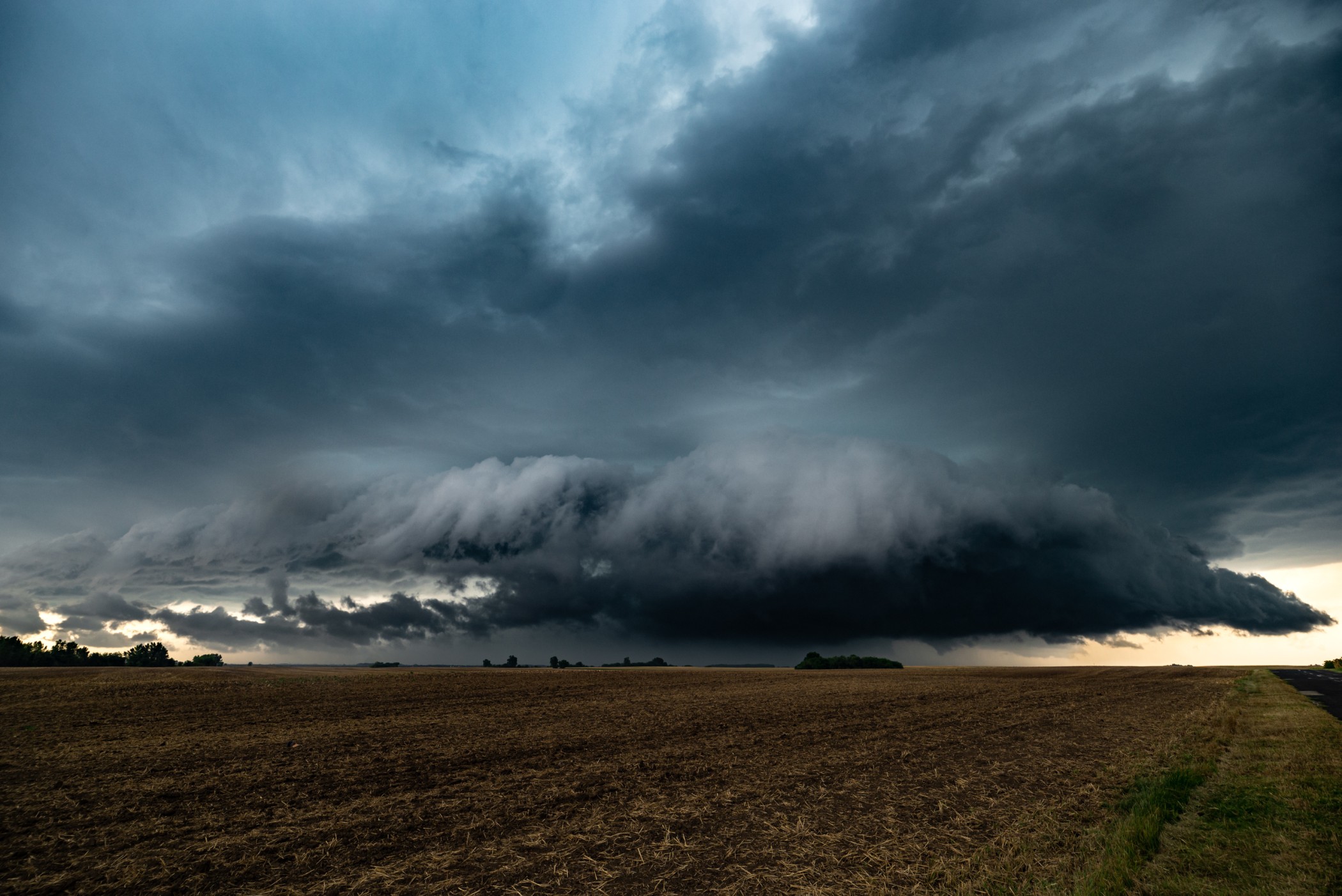
The biggest threat of this storm system for the Plains will be severe thunderstorms. In addition to an area of low pressure setting up over the region, the system will also be able to lean on a surge of moisture from the Gulf of Mexico to support the development of these storms.
The first taste of the severe weather is forecast to ignite in southern South Dakota and Nebraska beginning during the daytime hours Friday. For instance, scattered storms are likely to impact the college town of Lincoln, Nebraska on Friday morning.
The storm cells are then expected to move to the east into Iowa and northern portions of Missouri throughout the day. These cells will pack a number of potential dangers including strong winds and hail.
The cities under the gun for this storm development include Omaha, Kansas City, and Des Moines. Friday night high school football games could face significant delays as a result of the storms and their associated lightning strikes.
The severe weather threat will continue to expand on Saturday, stretching as far south as Oklahoma and as far north as Minnesota. The cold front that is coming along for the ride will provide the fuel for another day of stormy conditions.
This weather pattern is more typical of the spring and summer months than the early fall season. Most severe weather in September tends to stay confined to the south central U.S. and the Gulf Coast.
The anticipated heavy rain could lead to reduced visibility on the roadways. Air travel could also be affected beginning on Friday as the storms move through some of the nation’s busy airline hubs.
College football fans may be dodging storms on Saturday. The University of Kansas is playing host to Brigham Young University on Saturday afternoon with the chance of storms threatening to make it a messy day in Lawrence. Later in the day, Kansas State University is hosting Central Florida, another game that could see the festivities dulled because of the rain and the storms. Be sure to check the hourly forecast if you are headed out for a game in the nation’s heartland.
While tailgaters may not be pleased with the forecast, the rain is good news for a part of the country that has been facing varying levels of drought lately. According to the latest data from the U.S. Drought Monitor, drought conditions range from moderate to exceptional in many communities in the central U.S.
Water levels along the Mississippi River are falling to historically low levels as a result of the lack of rainfall in recent months. This is the second straight year that the Mississippi River Valley has seen these low levels. The low water levels in the country’s biggest river poses many logistical challenges for local businesses that use the waterway for cargo transport.
The ongoing drought in the central U.S. is also impacting farmers. Fall harvest season is right around the corner and farmers are worried that the low water levels in the Mississippi River will hinder the ability to move soybeans and corn down the river. The challenges of transporting these crops have led to a surge in prices to move the product, impacting the bottom line of the farmers in the region.
Did you find this content useful? Feel free to bookmark or to post to your timeline for reference later.

January 21, 2024

January 19, 2024

January 18, 2024
