
Heavy Rain, Flooding, and Chance of Severe Weather Staring Down the Southern U.S.
January 22, 2024
Posted: July 13, 2021 11:15 am


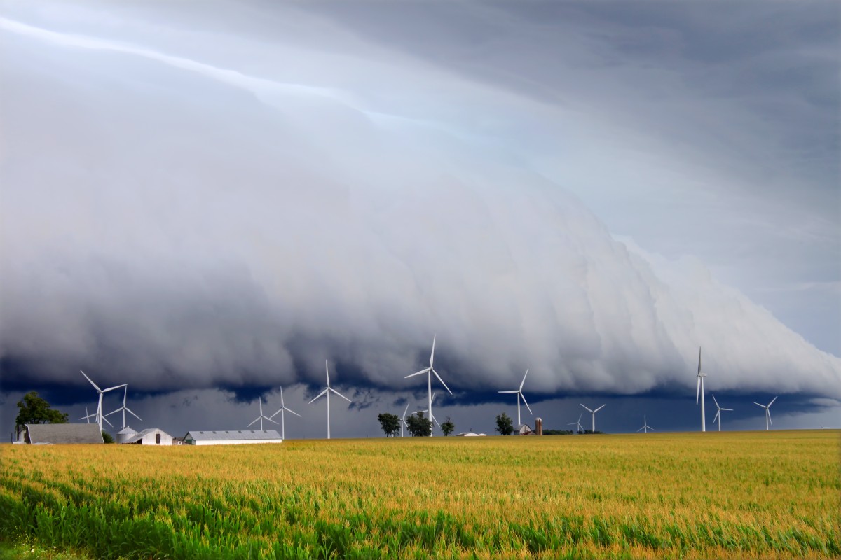
If you live in the Upper Midwest or central and northern Plains states, you are going to want to be on high alert for severe weather on Wednesday. Just as the East Coast is continuing to see the potential of severe thunderstorms through the middle of the week, this central portion of the nation will also be under the gun for heavy rains, high winds, and flash flooding.
The brewing weather pattern may bring widespread power outages as wind speeds pick up on Wednesday evening. The areas most likely to see downed power lines include parts of northeastern Nebraska stretching through Iowa into southeastern Minnesota and central Wisconsin. This includes the cities of Omaha, Nebraska; Des Moines, Iowa; Minneapolis, and Madison, Wisconsin. The storms will likely erupt during the afternoon hours and continue through the evening.
In addition to the strong winds, residents in this area should be prepared for the threat of hail and flooding downpours. The chance of isolated tornadoes is also a possibility.
Other areas that may see thunderstorms or showers include South Dakota, a large portion of Colorado, and southern Wyoming.
Moisture moving into the region is clashing with a wave of strong energy to ignite these storms. As the jet stream continues its downward dip, it will meet with a frontal zone that will set off the severe weather. The energy generated from the clash of the moisture and the position of the jet stream traditionally provides the fuel needed to power these storms, leading forecasters to predict these events with near certainty.
The predicted rain will be a welcome relief for areas that are currently under drought conditions. Although some parts of the Ohio Valley and the Mississippi Valley have seen plentiful rain this season, other areas of the Upper Midwest and the Plains are still struggling with drought conditions ranging from severe to exceptional.
For example, Sioux City, Iowa, has only recorded approximately 40% of its average rainfall since June 1. Only a smidge over two inches of rain has been recorded since that date. Compare this to the average rainfall of 5.14 inches between June 1 through July 11 and it is easy to see why farmers are particularly worried about the lack of moisture heading into prime growing and harvest season.
When combined with the searing heat as of late, the lack of rainfall may spell disaster for crops, especially for corn. However, a heavy soaking over the next few days may help to right the ship and provide farmers with the relief that they need to get back on track.
The metropolitan areas of Chicago and Milwaukee have just missed out on the rain and thunderstorms that plagued a large portion of the Ohio Valley and the Great Lakes over the last several days. However, this time around, the two cities may get in on some of the rain. As the Wednesday storm system pushes to the east, Chicago and Milwaukee may be in line to see measurable precipitation.
After the storms move through the region, cooler and less humid air will move in behind it. Rather than highs in the high 80s and lower 90s, much of the central US will enjoy highs in the upper 70s to the middle 80s without the oppressive humidity.

January 21, 2024

January 19, 2024

January 18, 2024
