Heavy Rain, Flooding, and Chance of Severe Weather Staring Down the Southern U.S.
January 22, 2024
Posted: August 13, 2023 10:08 am


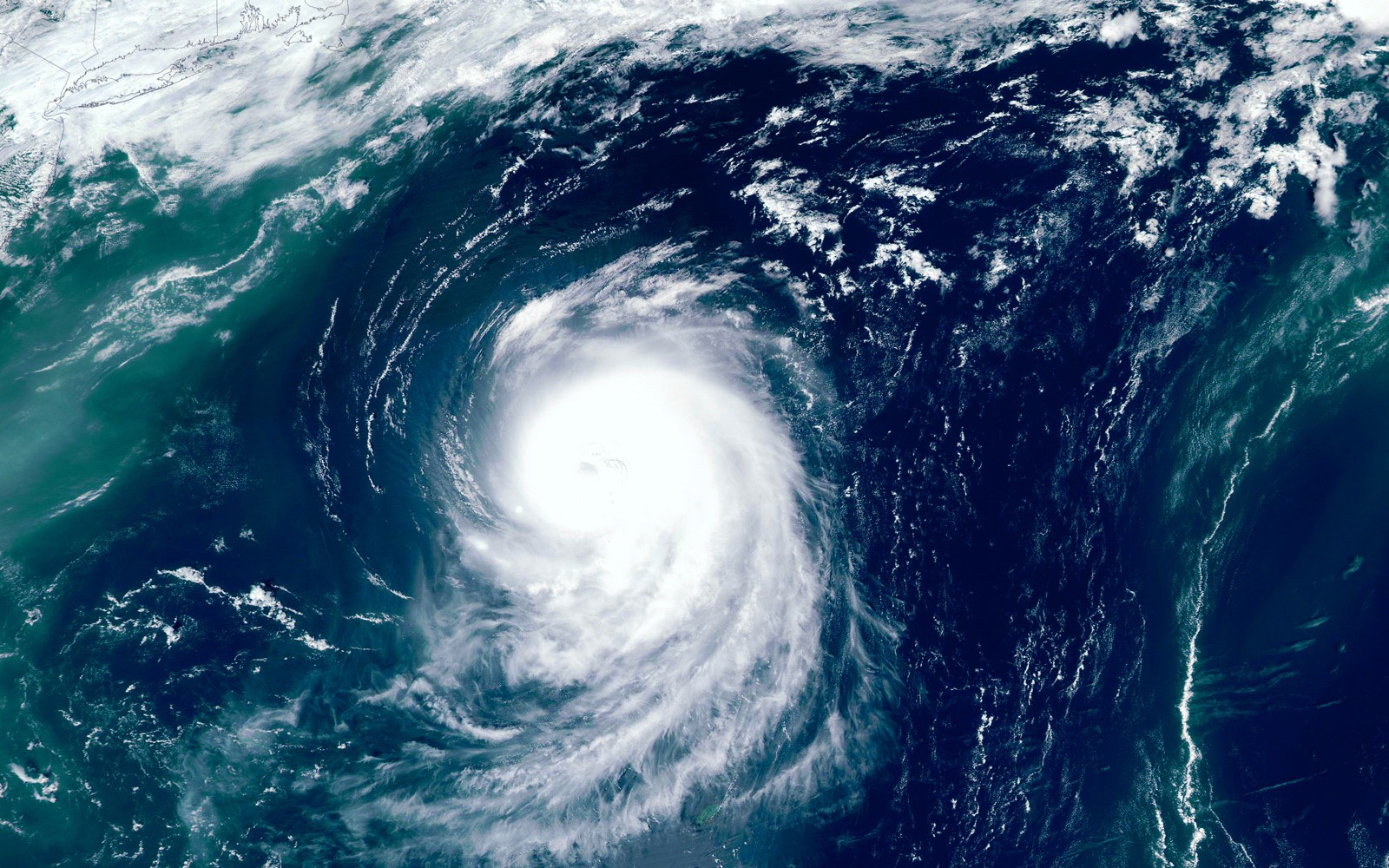
It has been a rough summer for parts of Japan as the country anticipates its second typhoon hit over the last few weeks. Here is the latest on this tropical weather event and what Japan should expect as Typhoon Lan makes its approach.
It has not even been two weeks since Typhoon Khanun ravaged Japan’s Okinawa prefecture. This event left at least two people dead while cutting off power to thousands prior to making its way through South Korea. Just as the region is catching its breath, a new threat is set to usher in more torrential rain and damaging winds. Unfortunately, the latest typhoon is on a path that will take it closer to the heavily populated capital city of Tokyo.
The typhoon is currently located several hundred miles south-southeast of Japan with maximum wind speeds of around 120 mph. This wind intensity translates to the equivalent of a Category 3 major hurricane on the Saffir-Simpson Hurricane Wind Scale.
The storm is forecast to continue to lose some punch as it inches closer to Japan, however, it is still likely to strike the island as a powerful tropical feature. The current forecast models indicate that the storm will begin to impact the south-central Honshu area by late Monday or early Tuesday, local time. The impacts will move to the central and eastern portions of the largest island in Japan through Wednesday, putting millions in the crosshairs in Tokyo.
At this point, forecasters are predicting that Lan will push inland between the Wakayama and Shizuoka prefectures. Residents and tourists in this area will want to stay abreast of the forecast as it becomes more clear in the coming hours.

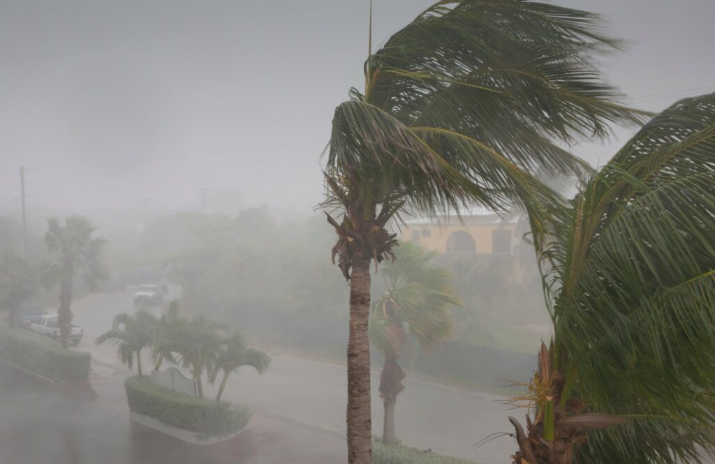
The coastal areas of the island can expect to see wind gusts up to 100 mph. The southeast corner on Honshu will see gusts up to 60 mph. Winds of this power may lead to downed trees and power lines as well as structural damage. Travel will also likely be disrupted as a result of the storm’s impacts.
Lan is forecast to produce rainfall amounts of 8 – 12 inches across much of south-central Honshu. The eastern and northern edges of Honshu and Hokkaido will see rain totaling between 2 and 4 inches. This heavy rainfall will create the risk of flash flooding and mudslides.
Prior to Lan’s landfall, the seas surrounding Japan will see rough surf conditions and dangerous rip currents. Boaters and swimmers will want to take caution when spending time out on the water.
Tokyo’s impacts will depend on the path that the storm takes as it approaches the large metropolitan area. Experts are predicting that the worst of Lan will stay to the west-southwest of the city closer to the coastal areas. However, Tokyo could potentially see greater impacts if Lan tracks farther to the north.
The West Pacific Ocean continues to be a hotbed of tropical activity. What was once Hurricane Dora crossed the international dateline this weekend, giving it the designation of a typhoon because of the storm naming differences in this part of the Pacific. The strong winds associated with Dora have been blamed for the deadly wildfires that flared up across Maui earlier in the week. At least 80 deaths have been blamed on the wildfire that destroyed the popular tourist destination of Lahaina.
It is rare for a tropical feature with winds of at least 74 mph to survive long enough to cross from the eastern portions of the Pacific over into the central area and across to the western section of ocean. This longevity is a testament to Dora’s ability to survive.
There is still the possibility that another tropical weather event may spring up south of Japan heading into the next week. However, cooling water temperatures in this corner of the basin will likely mean that any potential development is not able to strengthen to the degree of Khanun and Lan.
Did you find this content useful? Feel free to bookmark or to post to your timeline for reference later.

January 21, 2024

January 19, 2024

January 18, 2024