
Heavy Rain, Flooding, and Chance of Severe Weather Staring Down the Southern U.S.
January 22, 2024
Posted: November 4, 2022 12:16 pm


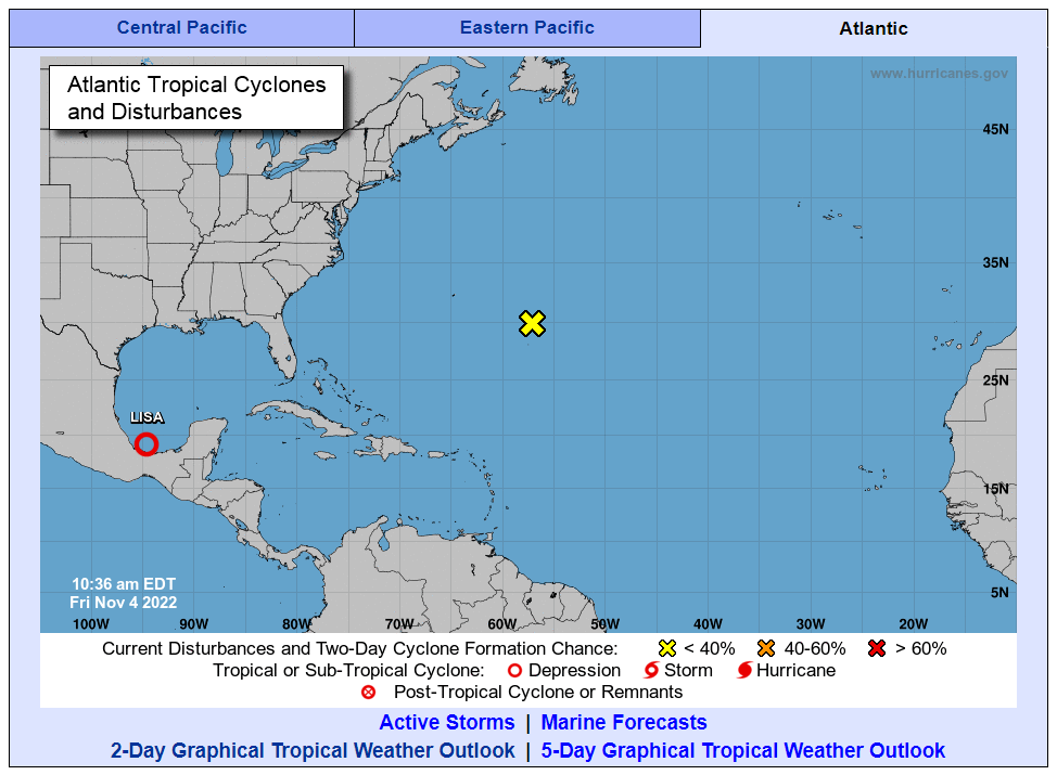
It was a busy week in the tropics with both Hurricane Lisa and Hurricane Martin forming in the Atlantic basin. Forecasters with the National Hurricane Center (NHC) are now warning that the next named tropical system could take root next week off the southeastern coast of the U.S.
Even if an official named storm does not form in this corner of the Atlantic, the system could still bring heavy rain and rough sea conditions to this part of the East Coast. Hurricane experts are predicting the formation of a slowly spinning area of low pressure known in meteorological circles as a gyre.
A gyre is predicted to come to life in an area between Bermuda and the southeastern coast of the U.S. As the gyre begins to spin up, winds will also increase and showers and thunderstorms will develop around the low pressure area. The gyre could impact a large area of coastline stretching from the Space Coast of Florida up through New Jersey. The breezy conditions will move the water to the west, churning up the seas.
A competing area of high pressure anchored to the north will aid in the formation of easterly winds from the gyre. These winds will raise the risk of beach erosion and coastal flooding in the mid-Atlantic up into New England. A full moon rising on Tuesday will raise this risk even further because of the higher tide levels.
Forecasters have been warning about the potential of tropical development in this part of the Atlantic for the last few weeks. Early November is typically the time of the year that these storms tend to develop. The current environmental conditions are adding to the concern that the Caribbean Sea and the western Atlantic will continue to be at risk of tropical activity over the next few weeks and closing out the end of the hurricane season.
It is also possible that a series of small disturbances that tend to crop up around a gyre could evolve into a more organized area of showers and thunderstorms. This is what the beginning of a tropical depression or storm would look like.
Hurricane experts are predicting that the odds of a tropical development out of this gyre are beginning to grow for next week. Should this happen, the feature would likely begin to form east of Florida. At this point, it is too early to tell if the system would take on tropical characteristics or remain a subtropical storm.
Tropical storms are distinguished by their compact area of moisture and thunderstorm activity that forms around a zone of warm temperatures. Conversely, subtropical systems feature the warm core, however, their moisture is typically less compact. You can expect heavy rain, gusty winds, rough seas, and storm surge with both tropical and subtropical features.
While any potential feature is most likely to form off the coast of Florida, it could also fire up in the zone stretching from the Bahamas and to the coast of the Carolinas. There is also a slight chance that a gyre could spin up in the eastern portions of the Gulf Mexico.
Even if there are no new tropical systems igniting in the coming days, the Atlantic Seaboard could still see torrential rain move up the coast due to the unsettled weather over this part of the basin. Should a named storm develop, the next name up is Nicole.
Did you find this content useful? Feel free to bookmark or to post to your timeline for reference later.

January 21, 2024

January 19, 2024

January 18, 2024
