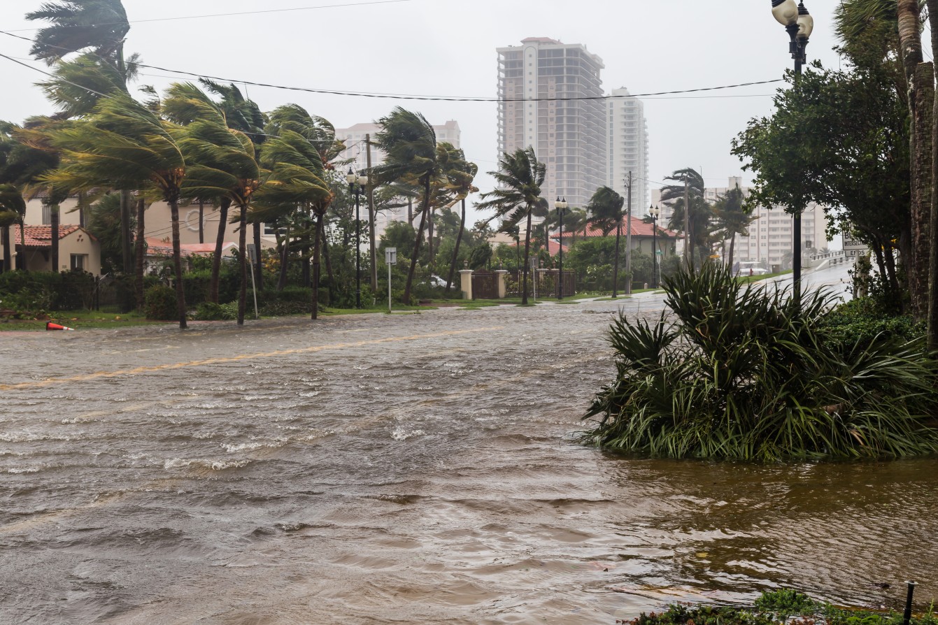
Heavy Rain, Flooding, and Chance of Severe Weather Staring Down the Southern U.S.
January 22, 2024
Posted: June 27, 2023 2:00 pm


Tropical Rainstorm Cindy is forecast to slip past Bermuda before making a strike on Atlantic Canada later in the week. What was once a tropical storm has weakened into a rainstorm, however, the system will still have enough moisture to bring significant impacts to Bermuda and up into Atlantic Canada.
Here is what you need to know about this tropical feature.
Nearly one month into the official start of the 2023 Atlantic hurricane season, there have been three named storms already in the books. The most recent storm was Cindy, a weather maker that officially took on a name on June 22.
As of Monday, Cindy was spinning about 600 miles south-southeast of Bermuda in the wide open waters of the Atlantic Ocean. While Cindy had once packed wind gusts of 60 mph, these winds have since weakened thanks to prominent amounts of mitigating shear in the area.
Although the moisture within Cindy’s circle is predicted to remain away from any major land masses to start the week, the system could deliver impacts to a good portion of this part of the Atlantic basin in the coming days.
Cindy is forecast to turn to the north in the next few days as a cold front coming through the East Coast nudges it in this direction. This change in direction will likely bring Cindy toward Bermuda by the middle of the week.
How quickly the front arriving this week to the east moves off land and into the Atlantic Ocean will determine how closely Cindy skirts past Bermuda and at what point in the week this happens.
The current tracking models show that the eye of Cindy will pass just to the west of Bermuda, putting these islands in the crosshairs for the heaviest moisture associated with the system. This would translate to about 1 – 2 inches of rain for most of Bermuda.
However, there is also the chance that Cindy could move farther east. This would put the center of the storm to the east of Bermuda, meaning that the islands would avert the most torrential rainfall.
Residents, vacationers, and shipping interests in this part of the Atlantic will want to keep an eye on Cindy’s projected track in the next few days.

In addition to Bermuda, Cindy is also projected to impact Atlantic Canada by the end of the week, approaching the eastern edges of Nova Scotia by the weekend.
Forecasters are calling for widespread rainfall averaging 1 -2 inches in New Brunswick, throughout much of Nova Scotia and Prince Edward Island, and up into Newfoundland and the eastern portion of Quebec. The greatest amount of rain will be to the east of Cindy’s eye when it makes landfall.
The storm will also bring strong winds, particularly as the system makes it approach to land. And as is typical with these tropical rainstorms, rough seas and dangerous surf conditions will also likely be in the picture at least through the weekend.
Experts with the National Hurricane Center (NHC) predict that the Atlantic basin will stay calm once Cindy exits the area. A high amount of wind shear circulating over the water will help to prevent the development of new tropical features this week.
While the Atlantic basin is forecast to remain calm this week, it could be a different situation over in the East Pacific. Abnormally warm ocean waters south and west of Mexico could provide fertile ground for new tropical activity to form. This will be a change of pace for a part of the world’s oceans that has been unusually quiet to start the season.
Forecasters are keeping a close eye on anticipated factors on Wednesday and Thursday that could support and maintain tropical development. There have been no named storms to come out of the East Pacific in 2023. The first names up on the list are Adrian and Beatriz.
The good news is that any tropical features that pop up in this part of the Pacific will not likely bring significant impacts to land due to the typical westward movement away from Central America and Mexico.
The second area that foresters are watching is sitting up near southern Mexico. While this zone is not likely to promote great intensification of any potential storms, it could hug the coast and provide greater impacts than the first area of interest.
These potential risks include heavy rain from the outer bands of the system and dangerous rip currents along the shores of Acapulco and Puerto Escondido. Be sure to pay heed to any red flag warnings if your travels take you to this part of Mexico.
Did you find this content useful? Feel free to bookmark or to post to your timeline for reference later.

January 21, 2024

January 19, 2024

January 18, 2024